& Construction

Integrated BIM tools, including Revit, AutoCAD, and Civil 3D
& Manufacturing

Professional CAD/CAM tools built on Inventor and AutoCAD
Drainage design often requires multiple tools, manual inputs, and repeated iterations. This ebook outlines the five issues engineers encounter most often and shows practical ways to address them using connected workflows between Civil 3D and InfoDrainage. It’s a simple overview you can use to improve accuracy and reduce rework across your projects.
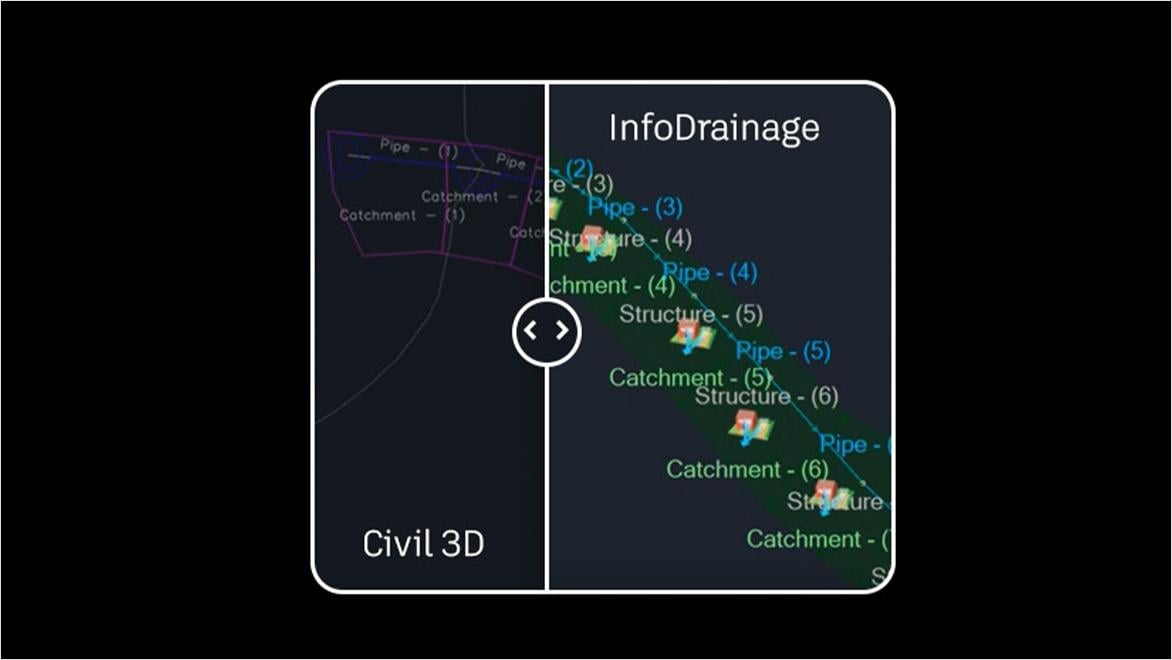
When your drainage process depends on multiple systems, every extra step is another chance for delay or error. InfoDrainage and Civil 3D work together as one integrated workflow, so you can design and validate drainage systems without juggling workarounds. See where this approach outperforms other software setups.
Enhancing stormwater resilience and safeguarding Charleston, South Carolina, with advanced drainage modeling.
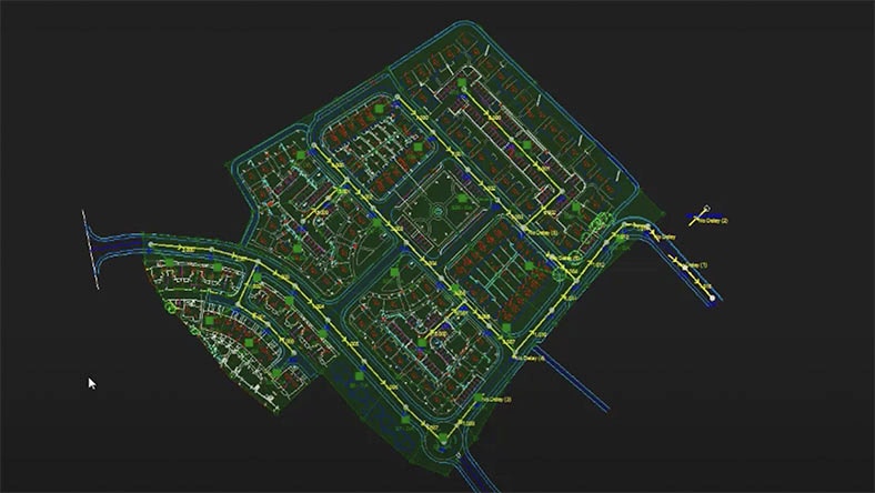
Modernizing drainage practices to help communities in the UK adapt to growth with more accurate, connected design workflows.
Creating new communities in New Zealand that balance cultural values and natural systems through resilient drainage design.
Migrate hydraulic and energy grade lines for a more granular view of drainage conditions, and make informed design decisions.
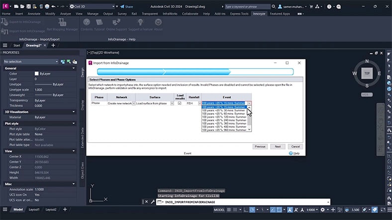
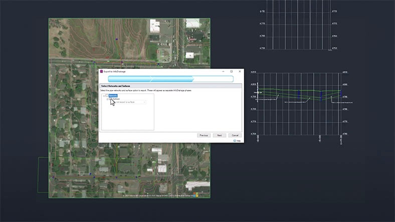
Send drainage data to Civil 3D or bring site designs into InfoDrainage, at the click of a button from each platform’s toolbar.
Choose the right rainfall types and runoff calculation methods for your catchment, and meet sustainability standards.
Export the exact drainage data you need in a fraction of the time with automated, customizable reports.
Product help
Find guidance on connecting Civil 3D and InfoDrainage, troubleshooting workflows, and accessing key documentation.
Video tutorial
Watch how to export your Civil 3D design into InfoDrainage, refine the model, and send updates back with one click.
Video tutorial
Learn how to enrich Civil 3D designs with rainfall and runoff data, hydraulic results, and other outputs from InfoDrainage.
Product course
Get a walkthrough of core capabilities, from preparing models to analyzing flow paths and building drainage networks.
