& Construction

Integrated BIM tools, including Revit, AutoCAD, and Civil 3D
& Manufacturing

Professional CAD/CAM tools built on Inventor and AutoCAD
A smart city uses digital technology to enhance public services, streamline operations, and build lasting communities for now and into the future. By leveraging data and digital tools, these cities improve infrastructure, guide urban planning, and manage resources more efficiently. They connect everyday systems such as transportation, water utilities, energy infrastructure
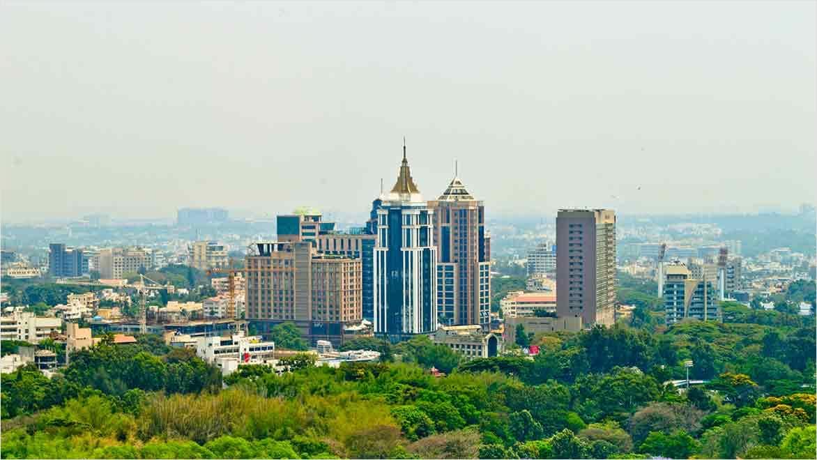
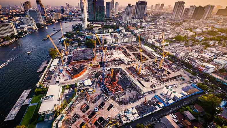
India’s government has launched an ambitious initiative to build 100 smart cities. This project reimagines urban development through modern technology and strategic planning. It aims to improve infrastructure, optimize resource use, and promote long-term sustainable growth. The mission sets clear goals to enhance public services, manage urban resources, and revitalise overcrowded, outdated city areas to meet today’s challenges and opportunities.
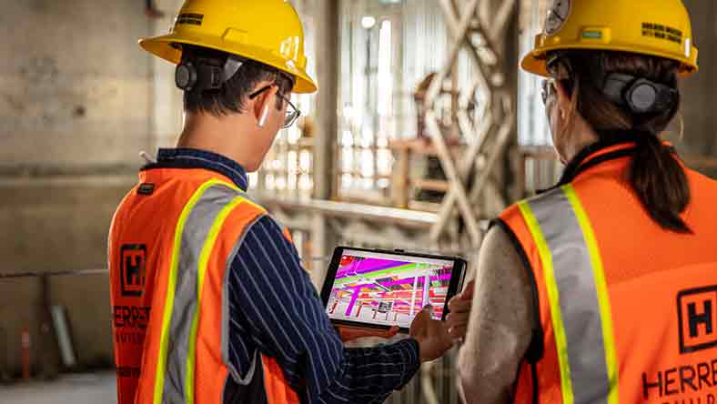
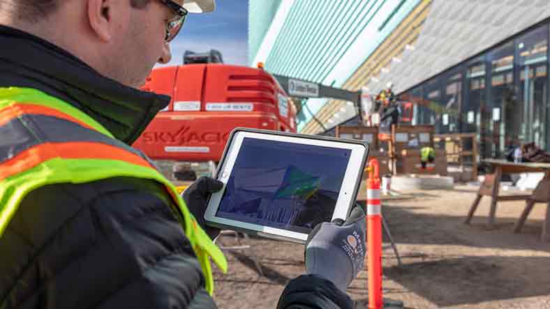
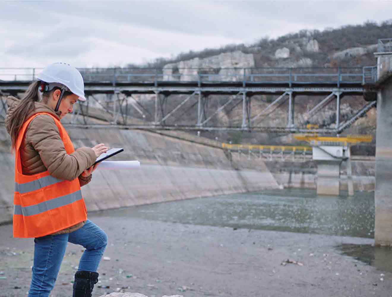
Government departments and local bodies are adopting technology to integrate urban planning, resource management, and public services. Drawing on global best practices and pilot projects, they’re developing solutions tailored to India’s unique needs. Digital tools help track resource consumption, plan for future growth, and engage citizens. At its core, the mission strives to create cities where safety, efficiency, and sustainability work in harmony.
Plan, design, construct, and manage buildings with powerful tools for Building Information Modeling.
Cloud software that offers powerful, easy-to-use, AI-powered tools for pre-design and schematic design. Making the right decisions in the planning phase has never been easier.
Powerful BIM and CAD tools for designers, engineers, and contractors, including Revit, AutoCAD, Civil 3D, Forma Site Design, and more
As India rapidly urbanizes, the need for smarter, more sustainable cities has never been greater. To meet this challenge, digital technologies are playing a central role in planning, designing, and managing urban environments. Among the most impactful are BIM, GIS, IoT, digital twins, and Digital project delivery (DPD). These technologies work together to create a connected, data-driven approach to city development—improving efficiency, coordination, and the overall quality of urban life.
BIM creates digital models of buildings and structures. It tests how a building will work before construction starts. BIM helps architects, engineers, and builders work together reducing costly rework, clashes, and streamline the design and build process. With the early adoption of BIM models, it can create digital twins of assets leading to better decisions, less waste, and improved maintenance and operations.
GIS maps and analyses data based on location. City planners use GIS and geospatial data to study spatial patterns and predict growth. This technology helps design better roads, manage water and electricity, and prepare for emergencies. GIS models can predict everything from population movement to potential flood zones, helping to design cities that are better prepared to adapt to future challenges. GIS data can be used to inform BIM models bringing together the natural and built environments.
IoT connects objects to the internet, creating data that improves city management. City sensors track energy use, traffic, water distribution, and more. This real-time monitoring helps solve problems before they become serious. IoT makes cities smarter and more responsive by constantly collecting and analysing data.
A digital twin is a real-time digital model of a physical object, system, or environment. It continuously updates using data from sensors, IoT devices, and building models. Digital twin solutions help teams design, build, and manage smarter, more efficient, and sustainable assets. These models improve decision-making, reduce costs, and support better performance throughout the lifecycle of buildings and infrastructure.
Digital project delivery is a modern way to manage construction and infrastructure projects using cloud technology. It brings all project data and teams together in one place, so everyone can work together more easily and make better decisions. This helps reduce mistakes, save time, and keep projects on schedule and within budget.
Smart cities use digital tools to connect the design and planning stages with actual implementation. Integrating BIM, GIS, and IoT supports end-to-end project lifecycles and establishes a feedback loop that continually improves city systems.
Access to real-time data on assets transforms decision-making by enabling faster, more informed choices. Government officials and developers use comprehensive datasets to plan growth, manage traffic, and track environmental effects. Data analysis improves resource efficiency by proactively identifying and solving problems. For example, real-time water management systems prevent waste and optimize use during peak demand.
Smart cities improve citizen involvement through access and digital platforms. City authorities share information through apps and interactive interfaces. Residents give feedback, report problems, and use municipal services through digital channels.
Adding digital systems to urban infrastructure improves resource distribution. Smart power grids ensure better energy distribution and reduce the frequency of outages. Intelligent waste management systems improve collection routes and sustainability. Autodesk's AEC solutions also help teams make better decisions with smarter data.
Urban resilience comes from anticipating challenges and preparing for the future. Smart city initiatives add backup systems and flexibility to city operations. They provide advanced simulations that prepare cities for natural disasters and population growth.
Autodesk empowers professionals with the tools to create efficient, resilient, and sustainable cities. Our tools guide projects from concept to completion, ensuring that every phase of urban development optimizes performance and effectively manages resources.
Autodesk tools enable collaboration among architects, engineers, urban planners, and government. Our platform supports integrated workflows that synchronise multiple data streams and break down data siloes. Real-time collaboration results in fewer design conflicts, faster approvals, and projects that meet quality and sustainability standards.
Clear visualisation bridges the gap between concept and reality. Autodesk tools create realistic representations that aid public consultations and stakeholder engagement. Decision-makers review interactive models and make informed choices that make sense to technical experts and community members. Visual tools clarify, reduce misunderstandings, and create a transparent planning process.
Autodesk solutions integrate environmental data into design models, allowing professionals to create systems that save energy, reduce emissions, and support green infrastructure. Planners can analyze various design scenarios and select the best balance between functionality and environmental performance. The result is urban infrastructure that supports long-term ecological goals while meeting the needs of growing populations.
Read about urban planning and urban design software and the success stories using Autodesk solutions.
This session covers a case study of BIM implementation for a complex urban project designed as a smart city.
Learn about the intelligent use of smart city technologies from Rebecca De Cicco, founder and director of Digital Node.
A smart city uses digital technologies to optimize urban management, enhance public services, and ensure sustainability. It integrates traffic control, utility management, and emergency services into a unified digital ecosystem.
Building Information Modelling (BIM), Geographic Information Systems (GIS), and the Internet of Things (IoT) drive urban innovation by creating accurate digital models, mapping geographic data, and providing real-time monitoring.
BIM creates detailed digital models for infrastructure design, supports collaboration across disciplines, and improves decision-making by simulating building performance before construction.
GIS maps and analyses spatial data, predicts urban growth, and supports planning transportation, utilities, and emergency services.
IoT sensors monitor real-time data on traffic, utility usage, and environmental conditions, enabling proactive maintenance, optimized resource allocation, and prompt problem detection.
Autodesk provides powerful solutions, such as InfraWorks, Revit, and Civil 3D, that streamline design, enhance collaboration, and support sustainable urban infrastructure projects.
InfraWorks creates realistic visualisations and simulations of urban environments, allowing planners to test proposals against real-world conditions and effectively engage stakeholders.
Advances in data analytics, machine learning, and cloud computing, alongside improved regulatory frameworks, drive further innovation in urban development and resource management.