TRANSPORTATION INFRASTRUCTURE

Modernising transportation infrastructure in India with digital technology

From rough sketches to open highways, see how we help engineers build safe and reliable roads and transit systems. 

Call 000-800-040-2543 (9:30 AM to 5:30 PM India local time) if you need our assistance.

Airplane coming in for a landing.

What is transportation infrastructure?

Transportation infrastructure is the network of roads, railways, bridges, tunnels, airports, and ports that connect and move people and goods. Engineers and planners design and maintain these systems today and for the future.

Good transportation infrastructure helps people get around easily and efficiently. There are fewer traffic delays, and businesses perform better. Communities grow, and nature intertwines with urban pathways through careful route planning and resource management.​​​​​​​​​​​​​​​​

Light rail train crossing a bridge with a city in the background

Why we need more modern transportation infrastructure development

Infrastructure development is more than just construction. Engineers and urban planners must create systems that support current traffic volumes and are adaptable for the future. Design software transforms the possibility on how we tackle infrastructure projects. Tasks that used to take a long time are now done faster with computer-aided design (CAD), BIM, and cloud-connect tools..​​​​​​​​​​​​​​​​​​​​​​​​​​​​​


As India embarks on significant transportation initiatives, ranging from new expressways to high-speed rail and metro expansions, outdated tools and methods can delay timelines and limit what is achievable. Modern tools deliver efficiency and precision. They provide a collaborative and integrated approach that connects all stages of transportation infrastructure development. Whereas the old methods relied on manual drafting techniques, paper-based reviews, and siloed teams, digital tools make workflows more transparent and efficient. 

Engineer at a rail construction site.

Transform your transportation infrastructure development plans

Start by evaluating existing workflows to identify areas for improvement and assess digital asset requirements from project owners. Have engineers, project managers, and decision-makers work together to review the current processes and prioritize areas of improvement.


Next, make an implementation plan. Include training workshops, create pilot projects, test workflows, and phased roll-outs to integrate new digital tools. Spend time training teams to understand the tools’ functionalities and how they work to streamline different aspects of the infrastructure development. Use what you learn from test projects to improve team workflows and complete projects with fewer mistakes.

Get started with Autodesk's transportation infrastructure development

Take control of your transportation infrastructure projects with intuitive Autodesk tools that turn design requirements into precise models.


Call 000-800-040-2543 (9:30 AM to 5:30 PM India local time) if you need our assistance.

Autodesk software for transportation infrastructure

Civil engineering design and construction documentation.


Plan, design, construct and manage buildings with powerful tools for Building Information Modelling.


Navisworks Manage, Navisworks Simulate software and the Navisworks Freedom 3D viewer for 5D analysis, design simulation and project review.


Geospatial and engineering BIM platform for planning, design and analysis


Powerful BIM and CAD tools for designers, engineers and contractors, including Revit, AutoCAD, Civil 3D, Autodesk Forma and more


Benefits of adopting new technologies in transportation infrastructure development

Stakeholders can achieve better results by embracing advanced digital tools.

Engineers

Access to precise survey data and accurate modelling minimises design errors and speeds up review cycles.


Project managers

Streamlined workflows and cloud-based collaboration led to shorter project cycles and better cost management, and improved stakeholder management.


Government authorities

Transparent, data-driven processes facilitate regulatory reviews and project approvals, which in turn build public trust and compliance.


Contractors

Detailed models minimise on-site problems and rework, reducing unexpected expenses and project delays.


AEC firms

Integrated systems enhance coordination among architects, engineers, and designers, improving project outcomes


Rendering illustrating BIM for architects.

Integrating GIS in transportation projects

Geographic Information Systems (GIS) provide a crucial layer to transportation infrastructure design by providing location-based data. GIS integration ensures every project aligns with its geographical context and meets regulatory standards, making the systems safer and more responsive.


Autodesk software enables GIS integration (US Site), providing real-time data on terrain, population distribution, and environmental concerns to support informed decision-making throughout the planning and construction process.


Project teams ensure that building designs consider real-world conditions by integrating GIS data with CAD and BIM models. They minimise construction risks by proactively addressing site-specific challenges and potential environmental disruptions.

Best practices for adopting digital tools in transportation infrastructure projects

Transition from traditional methods to digital systems with the following best practices in mind:

Training

Equip your team with the know-how to use essential software like Civil 3D, Revit, and Navisworks.

Incremental implementation

Start with pilot projects. Progress gradually with an implementation plan as teams gain confidence in working with new tools. Let each stage build on earlier successes.


Stakeholder engagement

Involve all parties, including engineers, planners, and government bodies, in the planning and roll-out process. Open channels of communication build trust and commitment.


Data integration

Ensure that all systems, including GIS and BIM models (US Site), integrate well with one another. A unified data repository streamlines collaboration and project management.


Regular audits

Conduct periodic reviews of digital workflows. This process highlights areas for improvement and ensures that processes are aligned with project goals.


Collaboration focus

Use collaboration platforms. Ensure every stakeholder can access the latest project data to improve decision-making and accountability.


A mtero train passes through the residential apartment areas
A metro train passes through the residential apartment areas in Kharghar, Navi Mumbai, India. Image courtesy of Puneet Vikram Singh

Case study: Mumbai Metro

Let's look at Geoconsult India's work on the Mumbai Metro Rail Project. The company faced the challenge of relying on outdated 2D workflows without a detailed BIM model. Repetitive tasks slowed down progress and compromised visualisation.

To overcome these hurdles, Geoconsult India employed Autodesk solutions. The team used Revit to model complex station structures, which improved coordination and reduced clashes during the design stage. The team then applied Dynamo to automate many aspects of the process and eliminate repetitive tasks. Navisworks helped detect clashes and ensure infrastructure components met safety and design standards before construction.

This project shows how Autodesk tools empower engineers to achieve more in transportation infrastructure development. Mumbai Metro's evolution from concept to construction shows the benefits of precision, collaboration, and efficiency Autodesk products provide.

You can also explore how Delhi Metro Rail (US Site) Corporation leveraged BIM and Autodesk solutions in their digital transformation (US Site) journey

Virtual 3D model of Cyber City.
Rendering of CyberCity, India's largest integrated business district. Image courtesy of Dawn Digital

Go from concept to construction with Autodesk road design software

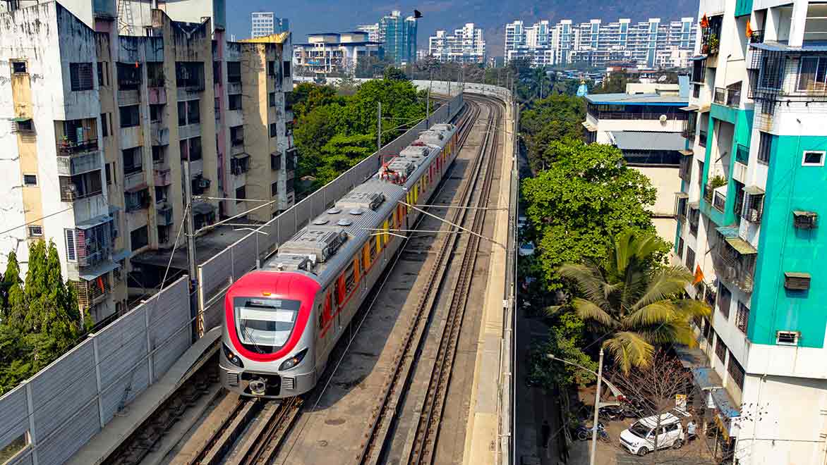
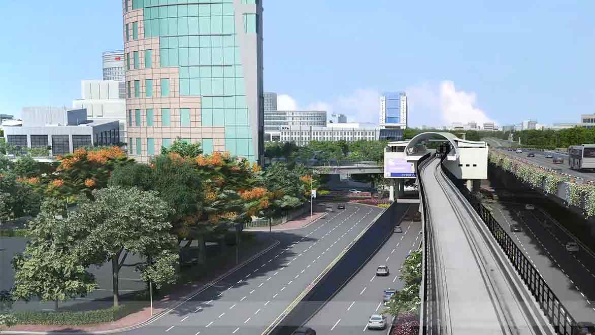
Modernising transportation infrastructure in India requires building a framework that supports collaboration, accuracy, and efficiency from the outset. Autodesk solutions deliver on these fronts. They empower engineers to produce precise designs, streamline complex projects, and ultimately create safe, innovative transit systems that meet the nation's growing needs.

Project teams can transform challenges into time-saving solutions by integrating Civil 3D, Revit, Navisworks, and GIS-driven data. This integrated approach fuels faster project delivery, reduces costs, and improves stakeholder collaboration.

Call 000-800-040-2543 (9:30 AM to 5:30 PM India local time) for assistance.

Transportation infrastructure free resources

Get familiar with Autodesk tools for transportation engineering. Find tools for your area of expertise, whether roads, highways, rail, bridges and tunnels, or airports and ports.


A class on using AutoCAD Civil 3D for transportation infrastructure design.


Learn to use Autodesk software to design road infrastructure. Learn everything from data gathering to modelling, analysis, and quantity calculations.


Transportation infrastructure frequently asked questions (FAQs)

What is Autodesk Civil 3D?

Autodesk Civil 3D is an engineering design software that creates precise digital models for roadways and highways, improving design accuracy and project timelines.

How does Autodesk Revit enhance metro and rail project design?

Autodesk Revit supports BIM modelling, enabling detailed 3D designs of stations and infrastructure that integrate structural, electrical, and mechanical systems.

What role does GIS play in transportation infrastructure?

GIS integration (US Site) provides critical location-based data, supporting informed decisions by aligning designs with real-world geographical conditions.

How does Autodesk Navisworks help avoid construction errors?

Navisworks detects clashes and design conflicts early in the project, preventing costly rework and ensuring coordinated construction efforts.

Who benefits from adopting Autodesk tools?

Civil engineers, project managers, government authorities, contractors, and AEC firms benefit from the increased efficiency, accuracy, and collaboration that Autodesk tools provide.

How is data accuracy maintained using Autodesk tools?

Integrated systems like Civil 3D and Revit directly incorporate survey and GIS data, ensuring precise modelling and consistency across project phases.

What is the future of transportation infrastructure in India?

The future embraces integrated digital designs, better analytics, sustainable practices, and increased automation to meet the growing demands for transportation infrastructure.

See more FAQ