AUTODESK WATER DISTRIBUTION SOLUTIONS
Secure your water's journey
Secure your water's journey
Get the understanding you need to reduce leaks, improve water quality, and deliver positive outcomes to communities.
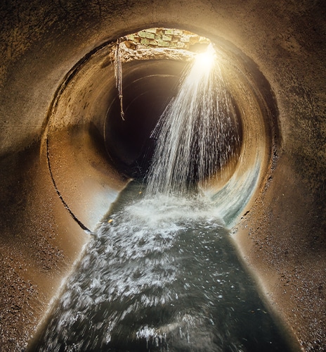
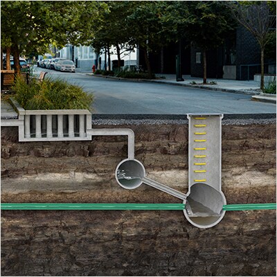
Meet your new digital partner
Meet your new digital partner
With sophisticated visualizations and simulations, a digital twin can help you to reduce non-revenue water, ensure compliance, and keep customers satisfied.
Find out how you can benefit from adopting a digital twin as your new partner by reading the e-book: Digital Twins: Transforming water distribution.

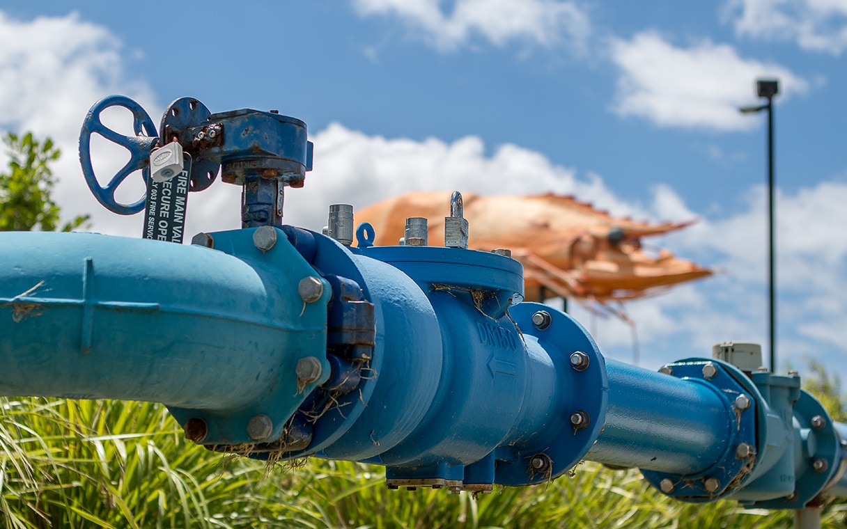
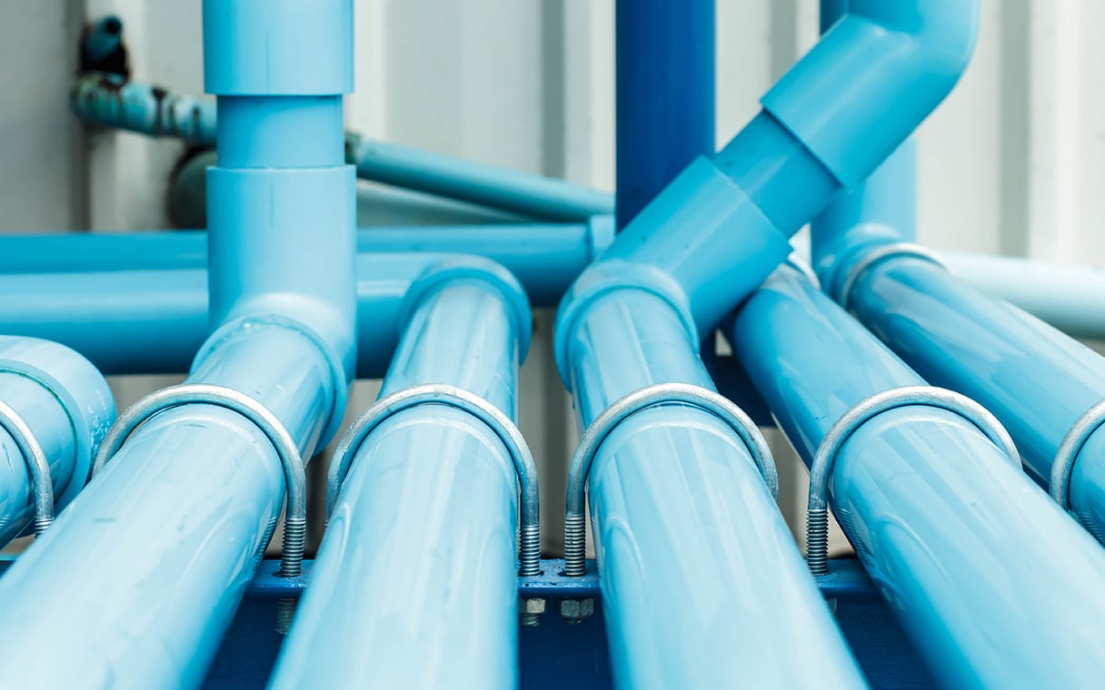
Software that serves communities and conserves water
Forward-thinking by design
Forward-thinking by design
While finding ways to upgrade and utilize existing assets more efficiently is highly valuable, at some point, rising demand calls for capacity expansion–or in some cases, wholly new infrastructure systems.
Autodesk software is tailored to help you strategically design networks for optimal and sustainable water distribution. We offer a cloud-enabled platform with GIS integration that enables you to optimize for cost and scalability, as well as incorporate climate and population projections to ensure long-term asset resilience.


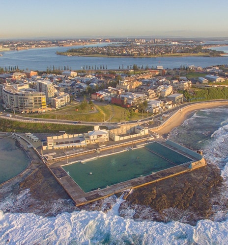
See examples of pioneering water distribution projects
See examples of pioneering water distribution projects
When 600,000 customers rely on one risk review
How Hunter Water gets it right, year after year.
Learning lessons: modeling 40+ disaster scenarios
Turning a master meter failure into a strategic success.
36% decrease in leaks with surge analysis.
Davidson Water discovers PVC pipes can’t handle the pressure.
Interested in how our software can help your water workflows?
Interested in how our software can help your water workflows?
Connect with an expert who can walk you through our software and how it can help your firm plan, design, maintain, and operate effective water distribution infrastructure.
Connect with an expert who can walk you through our software and how it can help your firm plan, design, maintain, and operate effective water distribution infrastructure.
Interested in how our software can help your water workflows?
Interested in how our software can help your water workflows?
Connect with an expert who can walk you through our software and how it can help your firm plan, design, maintain, and operate effective water distribution infrastructure.
Connect with an expert who can walk you through our software and how it can help your firm plan, design, maintain, and operate effective water distribution infrastructure.
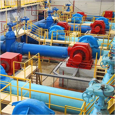
Our key software for water distribution infrastructure
Explore our software learning resources
Get started with InfoWater Pro
From running your first hydraulic model to simulating pump outages, get to grips with InfoWater Pro and its ArcGIS integrations.
Get started with InfoWorks WS Pro
All you need to build hydraulic models of water systems, subject them to different simulations, then learn from a wide range of network analyses.
Dive into water distribution news and developments
View other water industry solutions
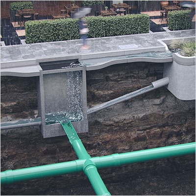
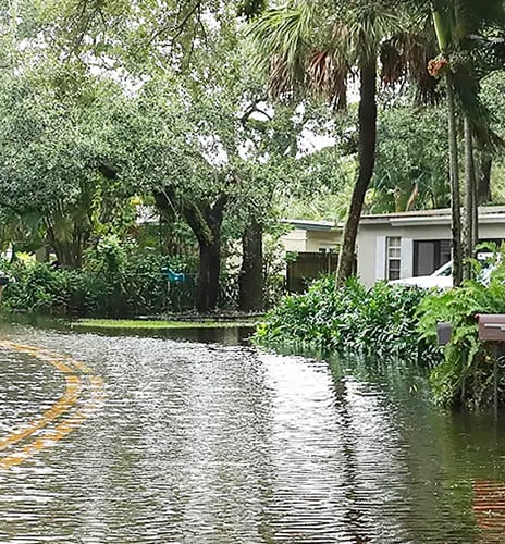
Stormwater and flood
Bringing wet weather resilience where it's most needed.
Wastewater collection
Keeping our communities and environments clean.
Operations and Maintenance
Analyzing and optimizing water asset performance.

Water distribution frequently asked questions (FAQ)
Autodesk water distribution software is used by utilities, small to large, consultants, engineering firms, and operators to plan, model, and operate clean water distribution systems across the globe. For more information about specific use cases and customers, explore our case studies with customers.
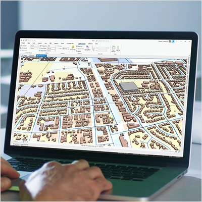
Geographic Information System (GIS) data is the bedrock of understanding a given network visually and spatially. By utilizing software tools that integrate with and ingest existing GIS data, clean water network models are more accurate to reality. Additionally, as Autodesk’s water distribution software can be and are leveraged to create digital twins of clean water networks, the ability to ingest data types like GIS and SCADA enhance the modeler’s ability to generate precise network outputs.
Access to clean water is one of the most existential threats facing humanity. Core to that problem is the ability to understand clean water distribution networks, validate issues, and conduct planning for future demand, among many other processes. Technology like our water distribution modeling software delivers the tools engineers, modelers, and utilities need to solve the challenges of tomorrow, today, facilitating sustainable access to clean water for generations to come. Read more about the value of adopting our cloud-based technology for utilities.