 Eric Suesz
One of the strengths of hydraulic modeling is the ability to look beyond individual assets and understand how water moves through interconnected systems. Researchers in Barcelona took that idea in an unexpected direction, extending an urban drainage model into the metro system beneath the city.
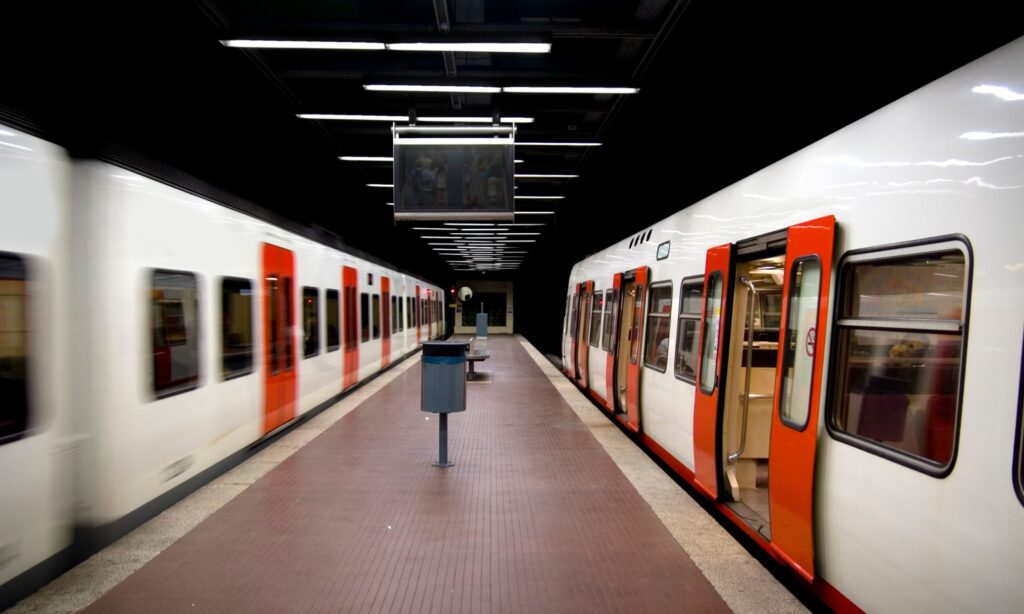
What does a metro tunnel have in common with a sewer pipe? More than you might think, at least if you’re trying to understand how water moves underground.
Researchers in Barcelona have been using 1D/2D urban flood modeling to understand how intense rainfall affects the city’s metro system – and what happens when surface flooding makes its way into underground infrastructure.
To do that, researchers from the Flumen Institute at Universitat Politècnica de Catalunya (UPC) came up with a clever use for Autodesk InfoWorks ICM’s integrated 1D/2D hydraulic modeling software: They modeled the metro as part of Barcelona’s drainage network.
They did what with the tunnels?
Metro tunnels were modeled as pipes using their real geometry, including cross-sections, slopes and lengths, while openings connecting the metro to the surface were represented using hydraulic elements such as inlets and manholes. Station entrances, ventilation grilles, stairways and lifts could therefore become part of the same coupled 1D/2D model as Barcelona’s drainage network.
It sounds simple when you put it that way, but it allowed the researchers to follow water from the streets of Barcelona (which were modelled as a 2D surface mesh) all the way down to the metro tracks – and uncover some surprising things along the way.
As Autodesk Water Infrastructure’s Paloma B. Akerman put it during Autodesk’s recent webinar about the research, “They thought a little bit outside of the box. They defined the problem as a set of tunnels, and tunnels could be modelled as pipes.”
Watch: Modeling Barcelona Metro flood risk with InfoWorks ICM
In the webinar, researchers from UPC’s Flumen Research Institute explain how they integrated Barcelona’s metro into a 1D/2D InfoWorks ICM hydraulic model, assessed flood risk under current and future climate scenarios, and explored how the model could eventually form the basis of an operational digital twin.
How do you model flooding in a metro system?
The researchers weren’t starting from scratch. They already had a detailed 1D/2D hydrodynamic model of Barcelona, combining the underground drainage network with surface flood modeling, which had originally been developed for the city’s drainage master plan. It included more than 2,100 kilometers of pipes, nearly 68,000 conduits, 18 detention tanks and a 2D surface mesh with more than 660,000 cells. Then, they added the metro.
“Here, the innovative step is the integration we did,” explains UPC Researcher Edwar Forero-Ortiz. “We represent the Metro’s infrastructure as pipes and nodes within the drainage model itself, treating the Metro as an extension of the sewer network.” That’s where InfoWorks ICM’s coupled 1D/2D capabilities became particularly useful.
Rain falls onto the 2D surface and becomes runoff. That water interacts with the drainage network below. But now, when water reaches a metro entrance, ventilation grille or another opening, it has somewhere else to go in the model: underground into the metro. And once it gets there, the model can keep following it.
That’s important because a flood doesn’t particularly care which infrastructure belongs to which operator. To the water, Barcelona’s streets, drains, station entrances and metro tunnels are simply interconnected pathways. Modeling them together gives engineers a way to see that bigger picture.
So, did it work?
Of course, a clever modeling idea isn’t much use if the model doesn’t match reality. Calibration and validation are what turn a flood model into something engineers can have confidence in.
The researchers calibrated their model against a storm on September 6, 2018, when around 75 millimeters of rain fell in two hours and service was disrupted at five Line 3 stations.
The model showed water in the Paral·lel station tunnel reaching around 28 centimeters height, well above the 15-centimeter threshold the researchers identified for potential disruption to track circuits. It also reproduced the delay between peak rainfall above ground and peak water depth in the tunnel as water made its way from the street to the tracks.
Then, they tested another storm from August 2018. That event caused surface flooding but no water entered the tunnels. The model got that right, too. Now they had something they could use to start asking “what if?”
Four centimeters at the surface, 54% more water underground
This is where the results get extra interesting. The researchers modeled flood risk across all 26 stations on Barcelona’s Line 3 under different rainfall scenarios, including future climate projections.
Under the most adverse scenario they studied, 15 of the 26 stations reached a high flood-hazard classification. After factoring in vulnerability based on passenger volumes, 11 stations were classified as high risk. Between two of the scenarios discussed in the webinar, maximum surface water depth at metro entry points increased from 0.34 to 0.38 meters. That’s just four centimeters. But inside the tunnels, maximum water depth increased from 0.78 to 1.20 meters. That’s a 54% increase.
“Small variations at the surface are amplified underground,” says Forero-Ortiz. “The conclusion is fundamental: Adaptation must focus on preventing water ingress.”
A few additional centimeters of water on the street might not sound dramatic, but once that water finds its way into an underground system, the consequences can be dramatically amplified.
How can hydraulic modeling help protect metro stations from flooding?
To combat this potential deluge, the researchers discussed measures like raising metro entrances, upgrading ventilation grilles, and installing hydraulic barriers around places where surface water can enter the system.
And this is where urban flood modeling becomes useful for more than creating flood maps. Engineers can test different interventions in the model and ask: What happens if we raise this entrance? What if we protect this ventilation grille? Where should we invest first?
There’s also a surprisingly low threshold for disruption. The researchers identified roughly 15 centimeters of water above the rail bed as the point where flooding can short-circuit track circuits, causing the metro system to register a block as occupied by a train and potentially stop service.
Scaling up – and looking ahead
As part of the EU-funded ICARIA project, they developed a 1D/2D flood model covering roughly 640 square kilometers and 36 municipalities across metropolitan Barcelona. They then compared the resulting flood maps with 408 underground metro entrances and found that roughly 25% could face medium or high flood risk during certain rainfall events.
That kind of metropolitan-scale analysis can help identify hotspots and show operators where more detailed modeling, or investment in flood protection, may be needed.
Their longer-term vision is to bring together surface flooding, station entrances, passenger safety, and service disruption in a more complete coupled model, then connect it with rain gauges, water-level sensors and other real-world data using ICM Live.
Barcelona Metro doesn’t have this operational digital twin yet, but the potential is easy to see. Instead of only using hydraulic modeling to understand what happened during a storm, operators could eventually combine the model with live sensor data and weather forecasts to anticipate what is about to happen – where water may enter, which stations could be affected and what actions might reduce the impact.
That’s the next step the researchers envision: turning the hydraulic model into a real-time decision-support system.
Next stop, other cities?
The approach itself isn’t specific to Barcelona. Could other cities get on board?
“What we did in Barcelona is perfectly replicable in other cities, in other contexts,” says UPC Professor of Hydraulics and Hydrology Beniamino Russo.
By finding a new way to use familiar hydraulic modeling tools, the researchers have created an approach that other cities can adapt to better understand – and prepare for – flooding in the infrastructure beneath their streets.
“For me, the key lesson is integration,” concludes Forero-Ortiz, following Russo’s train of thought about expanding this idea to other metropolitan areas. “Cities should link the urban drainage models with metro systems and underground infrastructure early in the planning stage.”
That’s especially relevant as cities expand underground transportation and other critical infrastructure while also preparing for more intense rainfall. Streets, drainage systems and metro infrastructure may be managed separately, but during a flood they’re all part of the same hydraulic system. Modeling them that way can give engineers a more complete picture of where the risks are – and, importantly, where interventions could make the biggest difference.

Thinking outside the box
What’s most interesting about this project may be how the researchers arrived at their approach. The capability they needed was already sitting in their existing toolset. They just needed to look at it a little differently.
Rather than searching for specialized “metro modeling software,” they looked at the hydraulic problem in front of them and realized that many of the building blocks were already there.
A tunnel can behave like a pipe. An opening to the surface can behave like an inlet. And water is going to follow the hydraulics regardless of whether the infrastructure is labeled “drainage” or “transportation.” For cities with underground transportation systems, particularly those facing more intense rainfall, that’s an idea worth exploring.
Sometimes thinking outside the box means seeing a pipe where everyone else sees a tunnel.