Storm, sewer, flood
-
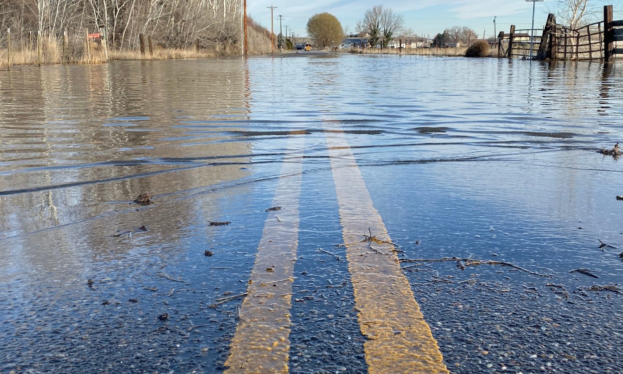
Using InfoWorks ICM in NFIP studies: Navigating FEMA’s local model acceptance process
Is InfoWorks ICM approved by FEMA? We get that question a lot, so we asked engineering firms that have gone through the regional acceptance process to share what they learned. Many flood modelers already know that InfoWorks ICM can build highly detailed 1D and 2D flood models. What’s less widely understood is that InfoWorks ICM may…
Storm, sewer, flood
-

Can you model a metro system like a drainage network? Rethinking flood modeling in Barcelona.
One of the strengths of hydraulic modeling is the ability to look beyond individual assets and understand how water moves through interconnected systems. Researchers in Barcelona took that idea in an unexpected direction, extending an urban drainage model into the metro system beneath the city. What does a metro tunnel have in common with a…
Customer stories
-

Why integrated hydraulic modeling is becoming essential for Middle East water infrastructure
Across the GCC and wider MENA region, utilities, municipalities, and engineering consultancies are accelerating investment in hydraulic modeling, stormwater management, flood resilience, and wastewater infrastructure modernization. From Dubai and Riyadh to Doha and Jeddah, large-scale urban expansion and climate-driven rainfall events are increasing pressure on drainage networks, sewer systems, and water infrastructure. Integrated approaches can…
Commentary
-
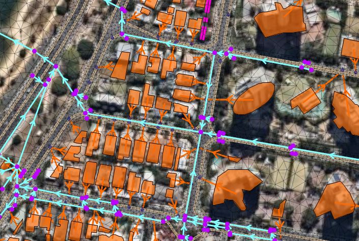
InfoWorks ICM Ultimate 2027 brings network design and analysis together for AECO
InfoWorks ICM – our hydraulic modeling software for stormwater, sewer, and flood network analysis and design– gets a big update for 2027. Network Design is the headline for this release, but the bigger story is the holistic workflow it unlocks in Autodesk’s AECO ecosystem. It’s that time of year when we release our biggest updates. What’s…
Product news
-
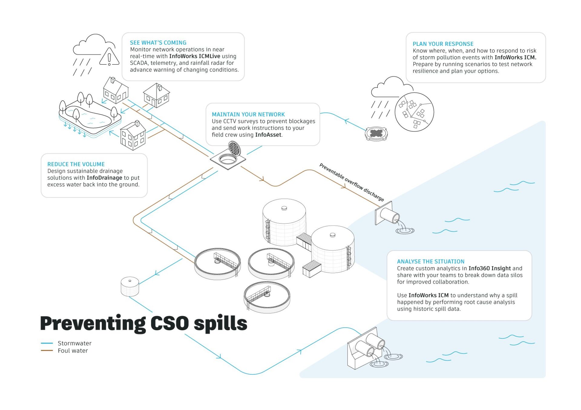
Hydraulic modeling explained: a guide to 1D, 2D and integrated catchment modeling
Hydraulic modelling is the simulation of how water flows through systems such as pipes, rivers, and surface floodplains. Engineers use it to predict water levels, flow rates, and flood risk, helping design and manage water infrastructure under different conditions. Hydraulic modeling often combines 1D and 2D approaches to represent both network flows and surface behavior…
Hydraulic modeling
-
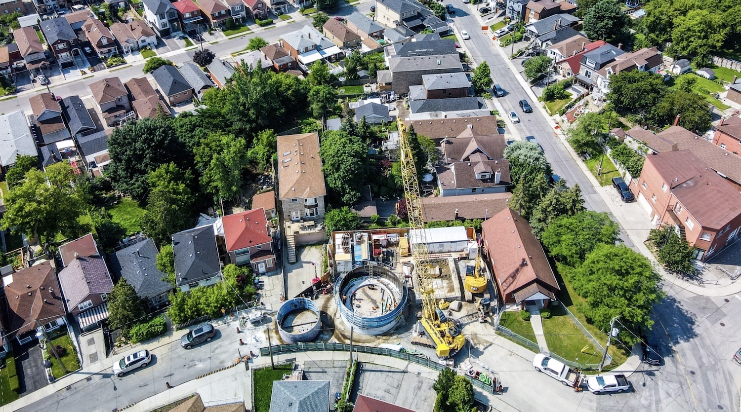
Jacobs: How 1D + 2D modeling in InfoWorks ICM is controlling stormwater in Toronto (and saving $$$)
The Woodborough Park neighborhood in Toronto is part of the Fairbank-Silverthorn area, which experiences significant flooding challenges, especially during heavy rainfall events. Their two big problems are a long history of basement flooding and sewer system overloads. Like many North American cities without separate sewer and water systems, they struggle with CSOs (Combined Sewer Overflows),…
Hydraulic modeling
-
Houston’s Stormwater Master Plan: a modern approach to citywide modeling
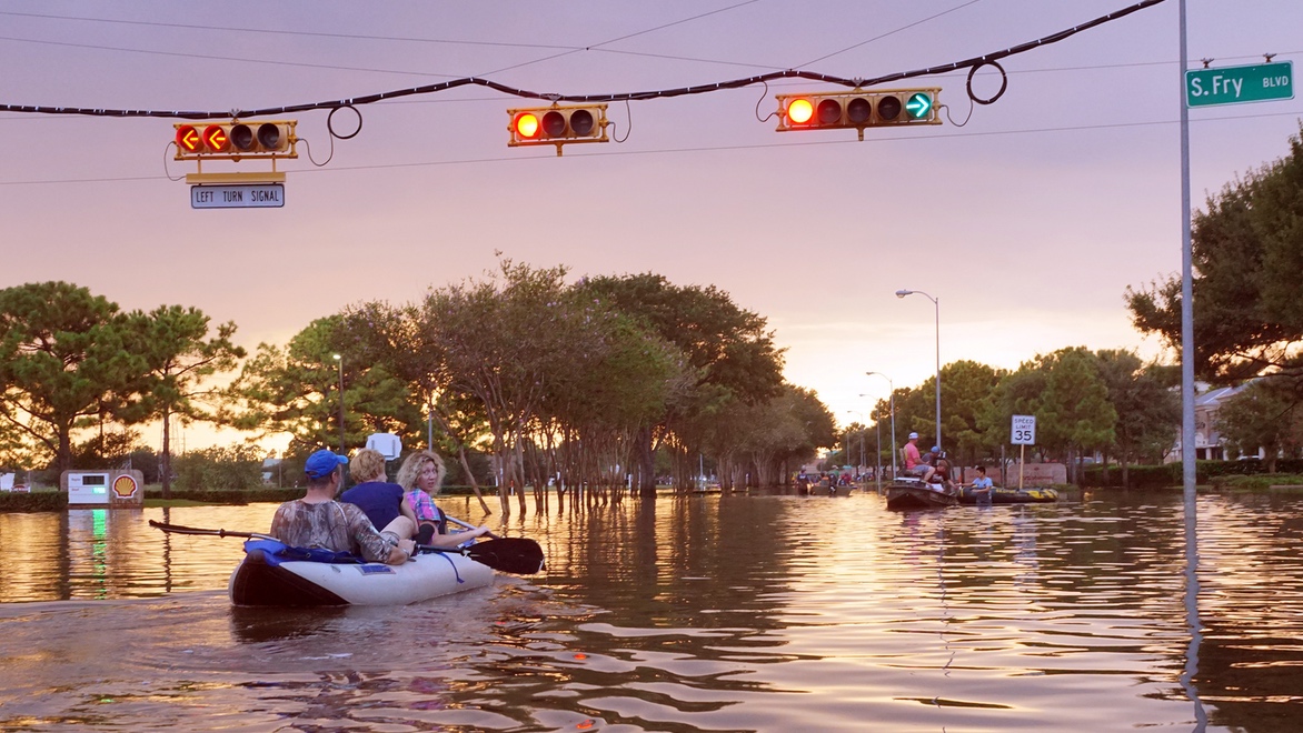
Houston’s relationship with water has always been complex. Sometimes called the “Bayou City”, Houston has been flooding since it was founded in 1836. Flat terrain, lots of concrete, expansive development, its position near the coast, and increasingly intense rainfall events have made stormwater management one of the city’s most critical infrastructure challenges. But they’ve been…
Storm, sewer, flood
-
‘Transforming Drainage Design with AECOM’ using InfoDrainage + Civil 3D
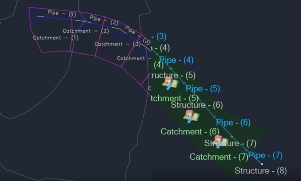
As climate volatility and urban growth intensify, drainage systems are becoming a frontline resilience challenge. Across the UK and globally, heavier storms and expanding impermeable surfaces are overwhelming legacy sewer networks and increasing flood risk. These are a few reasons why regulation has been shifting toward more sustainable outcomes – and that’s why SuDS (Sustainable…
Drainage design
-
How professionals design rain gardens to effectively control stormwater runoff
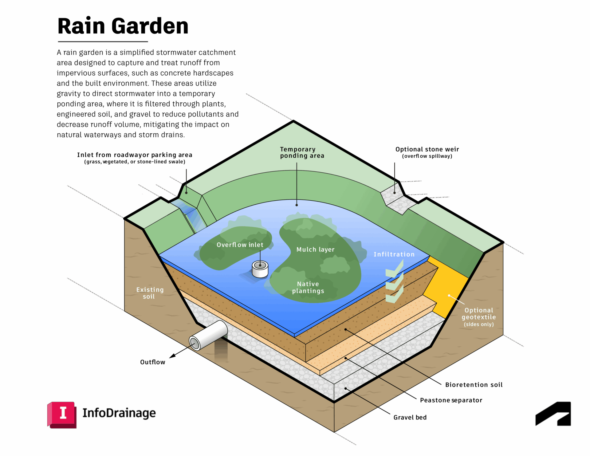
Rain gardens are a common feature of Sustainable Drainage Systems (SuDS) and are widely used in urban drainage design to manage stormwater and rainwater runoff, as well as promote sustainable drainage practices. In the urban environment, hard or impervious surfaces often block the natural process of infiltration, which means rainwater can’t soak into the ground.…
Drainage design
-
Implementing the updated Australian Rainfall and Runoff guidelines to account for climate change
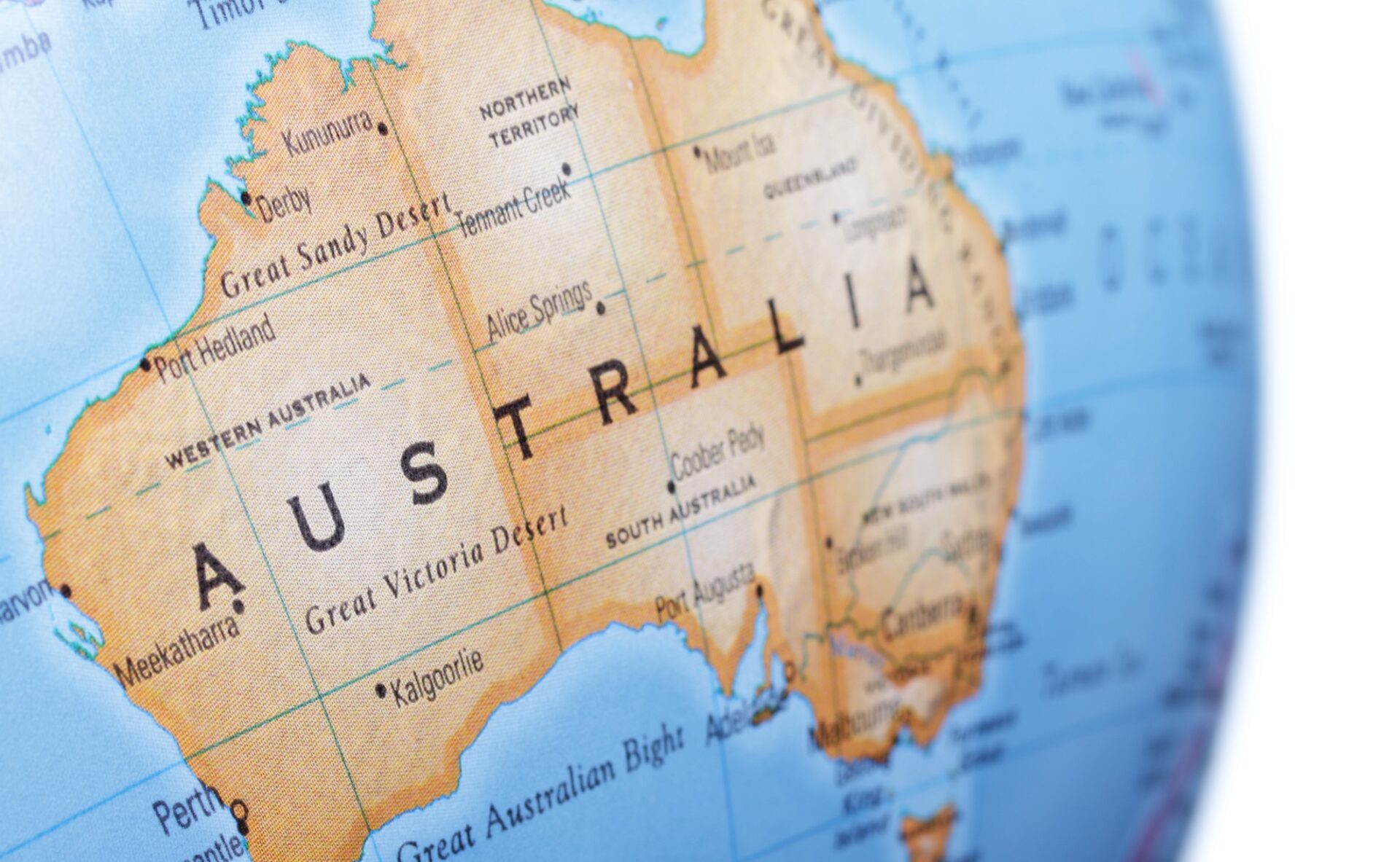
With heavy short-term rainfall events becoming more intense, it’s critical that Australia’s flood maps are dynamically altered to include the most up-to-date ARR guidelines. Because our software offers customizable rainfall calculations, you can adjust equations to go beyond standard calculations – to account for climate change or to apply specific details that affect your location. Australia is…
Storm, sewer, flood