Product news
-
Model-aware AI in InfoWorks ICM 2027.2
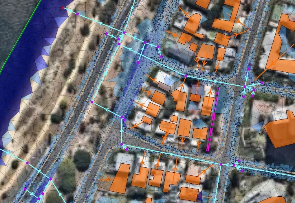
InfoWorks ICM 2027.2 is here and it brings model-aware AI into the modeling workflow with new Autodesk Assistant capabilities that let engineers interact directly with their hydraulic model data using natural language. Alongside Autodesk Assistant, this release expands Network Design functionality even further, introducing new hydraulic modeling capabilities and updating Australian rainfall generation to ARR…
Product news
-
InfoWorks WS Pro 2027.2 expands open channel flow modeling capabilities
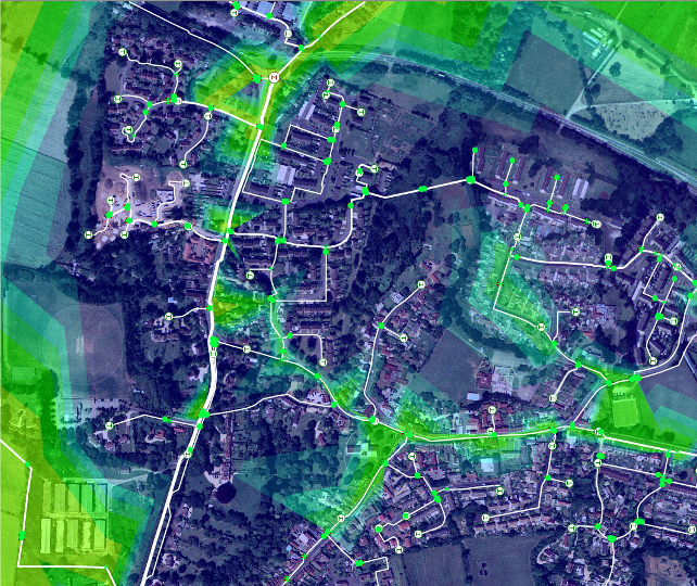
Not every water distribution system stays neatly inside a pressurized pipe. For many utilities, and particularly for irrigation networks, water moves through a combination of pressurized pipes, open channels, gravity-fed sections, and other hydraulic structures. Modeling those systems can quickly become complicated when the software draws a harder boundary between those different types of flow…
Product news
-

4 new Info360 Asset capabilities for smarter capital planning
Water utilities face rate scrutiny, aging infrastructure, and severe resource constraints, making it essential to have streamlined asset planning workflows for more defensible capital improvement plans. This latest release in Info360 Asset unifies asset planning across the entire water and wastewater utility network, empowering utility leaders to justify asset investment decision with greater transparency while…
Product news
-

How customer feedback helps shape InfoDrainage
Every engineer has had the same thought right after submitting a feature request: “I wonder if anyone will actually read this.” We do. Many of the improvements in InfoDrainage begin with a simple observation: “I really wish it could do this:” Here are three examples of customer ideas from InfoDrainage customers that became reality. Customer…
Product news
-
InfoWorks ICM 2027.1: AI-powered assistance, richer Esri mapping, and smarter Network Design
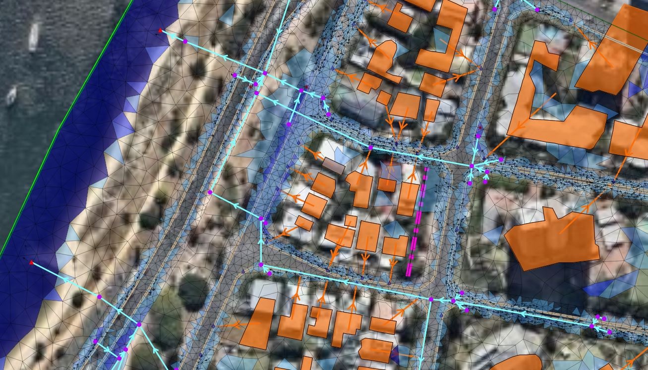
InfoWorks ICM 2027.1 is now available, introducing new capabilities that help water professionals work more efficiently, visualize models with greater context, and streamline network design workflows. The latest InfoWorks ICM release brings Autodesk Assistant directly into InfoWorks ICM, making it easier to access guidance without leaving the modelling environment. We’ve also expanded GIS integration with…
Product news
-
InfoWorks WS Pro 2027.1: Richer mapping, smarter support, better workflows
InoWorks WS Pro 2027.1 brings seamless access to Esri basemaps through the ArcGIS Maps Map Control, introduces Autodesk Assistant as a Technical Preview within InfoWorks WS Pro, and includes a range of usability improvements designed to help modelers work more efficiently. Together, these enhancements make it easier to build, analyze, and communicate water network models…
Product news
-

InfoDrainage 2027.1 adds Autodesk Assistant
InfoDrainage 2027.1 is now available, delivering new capabilities designed to help drainage engineers work more efficiently, model real-world conditions more accurately, and gain greater confidence in their results. In this latest version, Autodesk Assistant is now directly available within InfoDrainage, making it easier than ever to access guidance and support without interrupting your workflow. We’ve…
Product news
-

Support for MicroDrainage is ending: What you need to know to transition to InfoDrainage
If you’ve been working in drainage design for a while, chances are MicroDrainage has been part of your journey. MicroDrainage has played a significant role in shaping how the industry designs and models drainage systems over the last few decades. But as the demands on our industry continue to evolve leading to more complexity, tighter…
Drainage design
-

Autodesk Water 2027: What’s new in all of our software
It’s that time of year again at Autodesk: Global Launch. It’s when we release some of our biggest software updates. The Autodesk Water 2027 releases introduce new capabilities across design, modeling, and operations, helping teams work more efficiently through connected workflows, AI-powered tools, and deeper GIS integration. This overview highlights what’s new across InfoWorks ICM,…
Product news
-

Autodesk deepens Esri integration across Info360 Asset and Insight
Autodesk is standardizing the Info360 platform on Esri as the GIS system of record across Info360 Asset and Info360 Insight. This aligns operational data, asset intelligence, and capital planning with the same authoritative GIS environment that utilities and water engineering consultants already use to manage infrastructure projects. It also reflects deeper alignment between Autodesk and Esri,…
Product news