CIVIL ENGINEERING & DESIGN
Expand your perspective
Expand your perspective
Civil engineering tools to help you approach projects with a more comprehensive view.
Oversee, don't overlook
Oversee, don't overlook
When you’re responsible for the most ambitious feats in engineering, taking a broad perspective is fundamental. That’s why from bid to build, our software is designed to give civil engineers the total view–down to the last detail.
Civil engineering and design industries
See how firms are transforming today's infrastructure
See how firms are transforming today's infrastructure
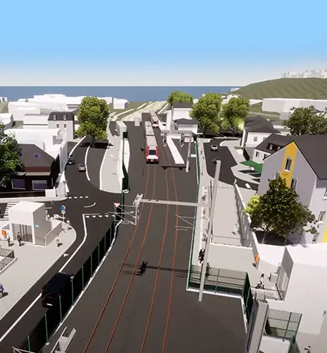
Low-carbon rail with a single source of truth
CFL gets stakeholders on-board with dynamic digital twins.

3D workflows help move millions at LAX
HDR leads 37 partners on one of the US's biggest BIM projects.
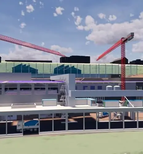
Evolving a working water treatment plant
Hunziker Betatech AG see the benefits of digital collaboration.
Civil engineering and design solutions
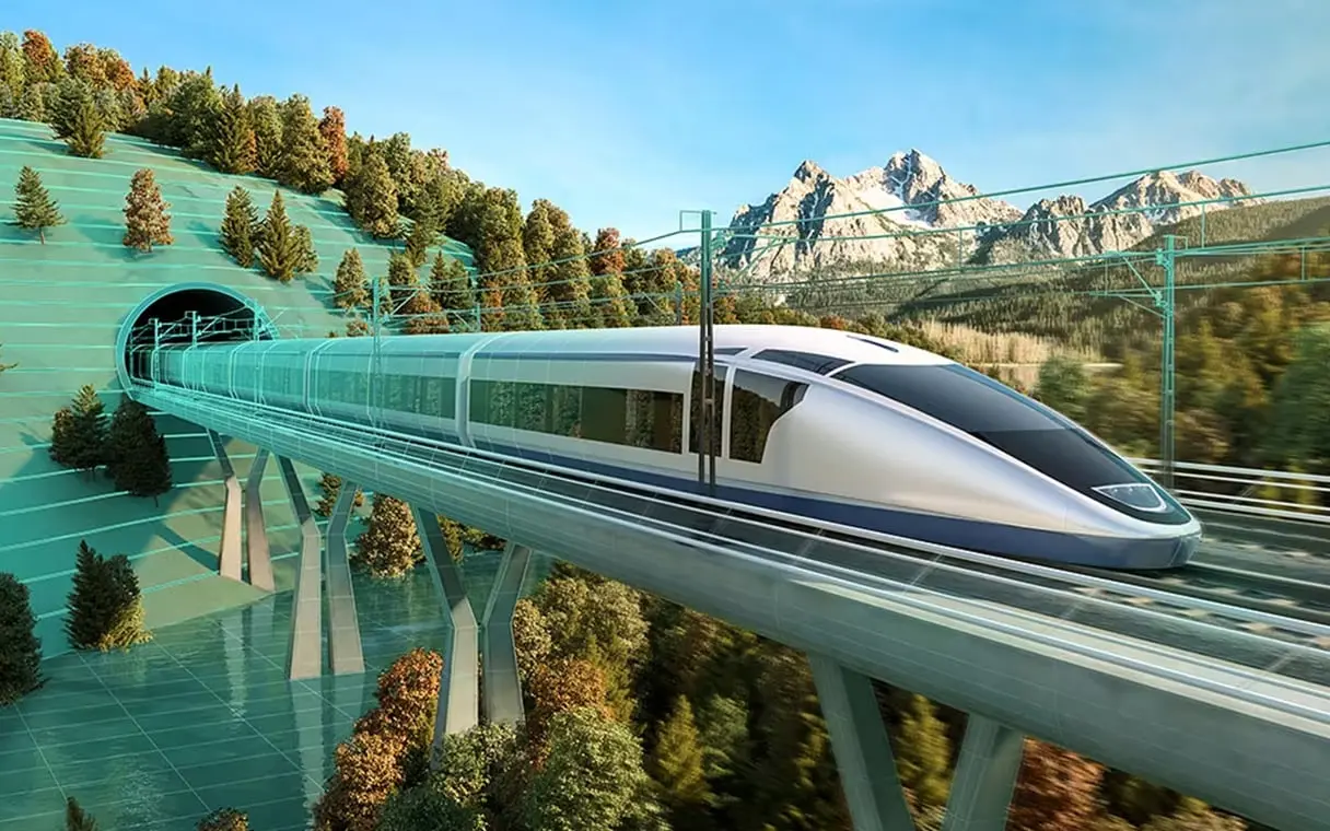
Understand with maximum clarity
Understand with maximum clarity
Building Information Modeling (BIM) is a 3D model-based process that helps civil engineers digitally explore alternative design decisions, capture more detail, and enhance coordination–as well as offer bid-winning project visualization.
The use of BIM increases accuracy, predictability, and understanding throughout project life cycles, driving compelling results and providing data-driven assurance for stakeholders that projects will be delivered on schedule and on budget.
Building Information Modeling (BIM) is a 3D model-based process that helps civil engineers digitally explore alternative design decisions, capture more detail, and enhance coordination–as well as offer bid-winning project visualization.
The use of BIM increases accuracy, predictability, and understanding throughout project life cycles, driving compelling results and providing data-driven assurance for stakeholders that projects will be delivered on schedule and on budget.


See the latest innovation in civil engineering
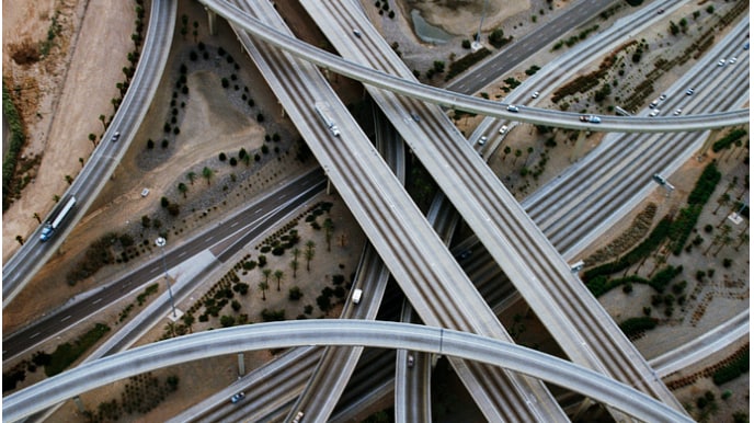
Autodesk + Esri
What happens when the world's leading GIS software provider join forces with the world's leading BIM software provider?
Why Autodesk for civil engineering and design
More project wins
More project wins
Scale your capabilities to handle bigger projects, meet BIM mandates, and better explain-then sell-your designs with clear, detailed visualizations.
Improved design quality
Improved design quality
With access to greater detail and more efficient workflows, you can significantly cut rework, meet compliance goals, and enhance design quality.
Better collaboration
Better collaboration
Communicate project details, schedules, and logistics to enable more effective coordination among project team members and improve productivity.
Optimized resiliency
Optimized resiliency
Our enhanced modeling gives you greater control over decisions and insight into their impact, helping you reduce failures and maximize asset life expectancy.
Autodesk civil engineering and design products
Grow your expertise and do more with our software
Be part of our civil engineering community
Frequently asked questions (FAQs) about civil engineering and design
What essential software does Autodesk have for civil engineers?
The AEC (Architecture, Engineering, and Construction) Collection is the standard for civil engineering. It includes (but is not limited to) AutoCAD, Civil 3D, Revit, InfraWorks, ReCap Pro, and Navisworks. These platforms help civil engineers to design and create critical project details with precision. They also allow them to clearly and accurately communicate design intent. Model details can also be stored, reviewed and evaluated in context using the Autodesk Construction Cloud, which is a common data environment for civil engineering projects.
Who uses Autodesk civil engineering software?
Planners, designers, engineers, architects, contractors, and owners. The AEC Collection and the Autodesk Construction Cloud are designed to be used at any stage of the project lifecycle. Planners can create concepts and evaluate alternatives. Engineers can produce detailed design models. Design teams can effectively collaborate during review cycles and construction implementation. In operations, the infrastructure owner has access to the project details and files for project management and asset maintenance.
Are there cost savings associated with BIM adoption in civil engineering?
The initial costs for implementing BIM in design practices may be higher because more detail is provided in the design model. But there is tremendous value gained during coordination and design efforts. Cost savings can be significant when it comes to construction implementation, design review cycles, and during asset management. BIM adoption lowers overall design and construction risks and helps to minimize in-field conflicts and construction re-work.
What is integrated project delivery for civil engineers?
Traditional methods of delivery for civil engineers mostly involved 2D plan sheets and documents. Integrated project delivery involves connected, intelligent information that adds quality and details the project elements. This makes it possible for engineers to deliver an integrated model as part of the final assets. Plan sheets and documents are extracted from and based on the intelligent model. The plans, reports, and model are then delivered to the contractor and owner for construction and management of the asset.
What are the benefits of using digital twin technology in civil engineering projects?
A digital twin provides a near exact model or virtual representation of the actual infrastructure. The benefits of a digital twin allow evaluation and inspection of the model for immediate or future considerations. The digital twin contains metadata and details about specific elements or features of the model. This information is valuable for asset maintenance, proving existing conditions, and for supplying information on future projects that may impact the specified model area.
How is Autodesk supporting resilient and disaster-resistant civil design?
There are numerous ways in which Autodesk civil design technology can support the resilience of infrastructure. These include assessing the structural strength and limitations of infrastructure, simulating traffic for evacuation planning, and visualizing the impact of flooding on infrastructure. Autodesk civil design technology can aid in predicting the flow of stormwater during any type of weather event, further enhancing our understanding of potential risks and improving our response to them.
What is GIS and how does it impact civil engineering?
GIS, or Geographic Information Systems, is a system that creates, manages, analyzes, and maps all types of data. GIS connects data to a geographic location and highlights details and metrics of infrastructure elements. It is a powerful tool for engineers to use because it illustrates existing conditions, infrastructure details, and provides data that has been gathered from specific areas that can be used as a basis for infrastructure design.
Are Autodesk solutions ISO19650 compliant?
Yes, Autodesk technology supports documentation and document controls. Standards like ISO 19650 define the collaborative processes for managing information over the project lifecycle. Ensuring consistent document control is key to meeting project requirements and avoiding rework.
What is civil engineering?
Civil engineering is a professional engineering discipline that involves design, construction, and maintenance of infrastructure and physical elements in the environment. These elements include roads, bridges, utilities, dams, airports, water treatment facilities, and drainage systems. These elements are designed and built for public use and benefit. Civil engineering is broken down into several engineering disciplines including transportation, water resources, structural, environmental, and geotechnical.
Speak to an Autodesk expert
Drop us a line to see how our civil engineering software can help you to see more.
Drop us a line to see how our civil engineering software can help you to see more.
Speak to an Autodesk expert
Drop us a line to see how our civil engineering software can help you to see more.
Drop us a line to see how our civil engineering software can help you to see more.