InfoWater Pro
-

Hunter Water: using InfoWorks WS Pro to help undertake an important yearly risk analysis
Hunter Water Corporation (HWC) is the second largest water and sewerage utility corporation in New South Wales. This state-owned corporation has been operating since 1892 and serves a population of almost 600,000 people spread across 6,671 square kilometres in the areas of Cessnock, Lake Macquarie, Maitland, Newcastle, Port Stephens, Dungog, and small parts of Singleton.…
Customer stories
-

3 fresh Water Drop workflow videos: pipe-sizing automation, fireflow analysis, and new cloud capabilities
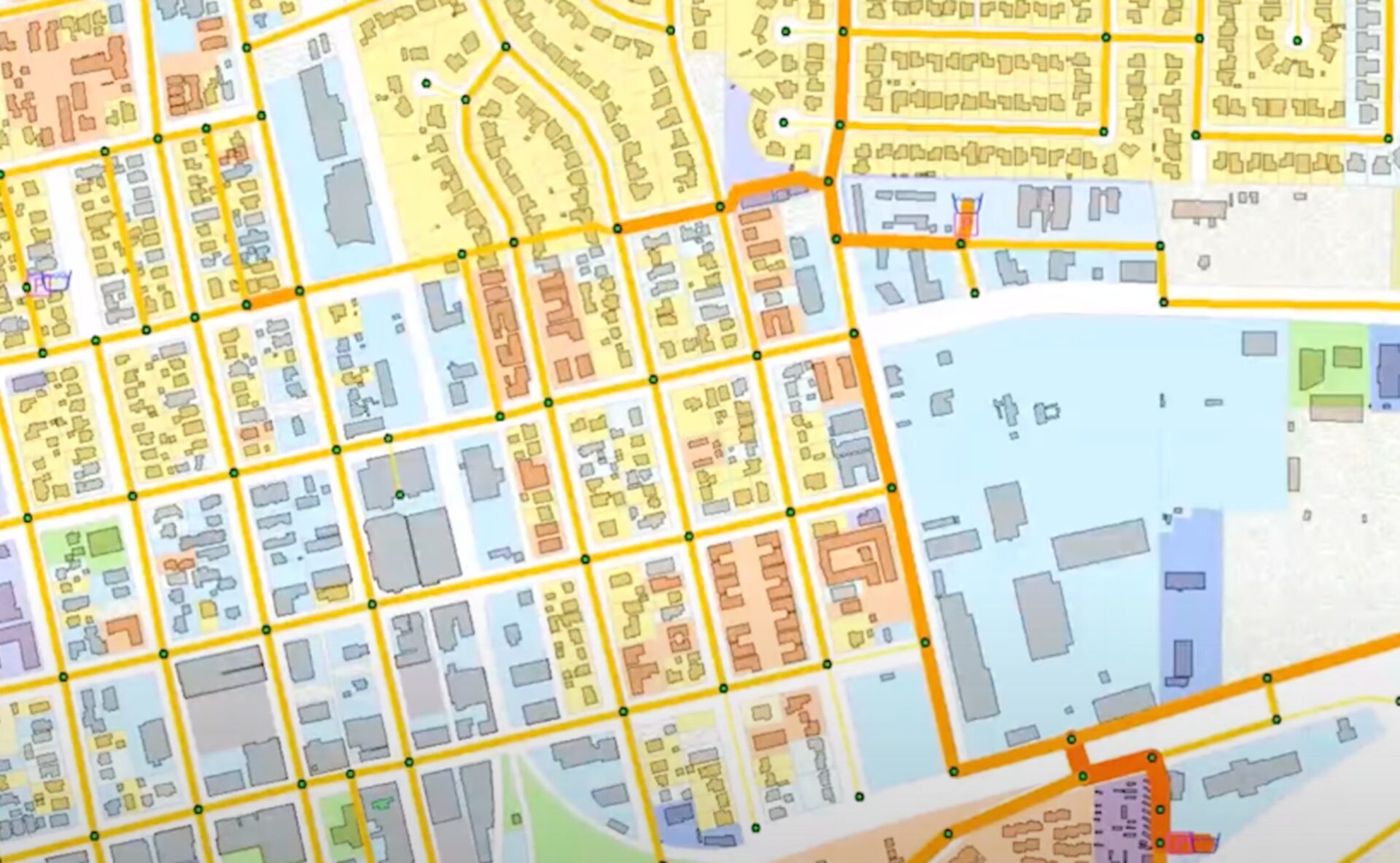
Happy Spring, everyone. You know what they say: April showers bring May Water Drops! It’s certainly true where I live in Denver, Colorado. Earlier this month, we had 1/3 of our annual rainfall occur in just 72 hours. Streets, roads, and (unfortunately) my basement were flooded. It was a prescient reminder of why hydraulic modelers…
Water Talks
-
InfoWater Pro 2024.1: InfoSurge now included with a subscription
The latest update of InfoWater Pro supports ArcGIS 3.1, includes surge analysis, and improves high DPI resolution support. Surge analysis with InfoSurge now included InfoSurge, our app for transient analysis, used to be a paid add-on to InfoWater Pro. It is now included in InfoWater as part of an InfoWater Pro Autodesk subscription so that as many…
Product news
-

Water Talks in droplet form: The answers you need in the time that you have
Your challenges are our challenges. While this statement may sound cliché, I think it rang true for the thousands of viewers of our Water Talks webinar series over the past three years. Since April 2020, we’ve reached 30,000 registrants, hosted 14,000 live attendees, and answered over 2,600 questions! We’ve heard from the best and brightest…
Storm, sewer, flood
-

InfoWater Pro and ArcGIS dashboards help City of Livonia respond faster to emergencies
In February 2018, the City of Livonia, Michigan, experienced a master meter failure that caused several water main breaks, closed a major highway, and triggered a city-wide boil-water advisory. Emergency situations like this have unfortunately become more common. According to a study by Utah State University, water main pipe breaks were up 27% in the…
Water distribution
-
New in InfoWater Pro: Latest ArcGIS Pro support + powerful diagnostic tools
The latest updates of InfoWater Pro now support ArcGIS 3.0 and improves re-run workflows and hydraulic simulation reporting. Latest ArcGIS Pro support InfoWater Pro, which is built on top of ArcGIS, is now compatible with the latest ArcGIS Pro. With InfoWater 2023.3, you will model water systems within ArcGIS Pro 3.0. If you prefer to work…
Product news
-

How to run a closed zone system curve analysis in InfoWater Pro
Do you need to run a closed zone system curve analysis in InfoWater Pro? Occassionally, our support team will hear from customers who are sizing a pump for replacement in InfoWater Pro who have run into an issue when performing a system curve analysis. They receive this error message: “Simulation failed with specific issue(s).” When…
Water distribution
-

Watch the Water Talk: using system curves to better understand your pumps
Another fortnight, another Water Talk. This time around, we talked about system curves. These are essentials that every modeler should know to understand why pumps do what they do. Our own Patrick Moore leads the way in this Water Talk, talking about system curves, boundary conditions, and how modelers can use system curves to understand…
Water Talks
-

Introduction to InfoWater Pro: free learning series
InfoWater Pro is a powerful application made for ArcGIS Pro-loving water professionals. If you’re just getting started and need tutorials to show you the way, this post is for you. We’ve created this series of videos for InfoWater Pro, and it’s completely free and open to everyone. Who uses InfoWater Pro? InfoWater Pro is typically…
Water distribution
-
Watch the Water Talk: Surge analysis in hydraulic modeling
In our most recent Water Talk, Crystal Broadbent of Hazen & Sawyer shares three unique customer stories to demonstrate the application of InfoSurge with InfoWater Pro. InfoSurge uses transient analysis and modelling to predict how your water distribution network will react to pressure surges or reductions, and to evaluate surge control devices. The Joukousky Expression…
Water Talks