InfoWater Pro
-

New Technical Information Hubs to support Autodesk Water desktop products
The Autodesk Water team is excited to release our latest Technical Information Hubs for our desktop products. These newly released information hubs work to collect the wealth of information that various Autodesk teams provide to customers each and every day, all in one place. InfoWorks WS Pro Information Hub | autodesk.com InfoWorks ICM Information Hub…
Product news
-

Water Drops: A batch of lesser-known workflows that deserve the spotlight
This release of Water Drops workflow videos is exceptional – that is, we go over some of the lesser-known capabilities of our software packages that we want to make sure aren’t overlooked. For example, did you know you can also design sanitary networks in InfoDrainage? Or, have you ever wondered how other Innovyze products (specifically,…
Water Talks
-
Davidson Water: masters of high-tech surge analysis and down-home community engagement
As a nonprofit membership-based organization, Davidson Water is entirely supported by the rates and fees paid by its member customers – no county taxes involved. Created over 50 years ago by enterprising businessmen who realized that this part of the popular Piedmont corridor of commerce and trade would not be able to host more business without…
Customer stories
-
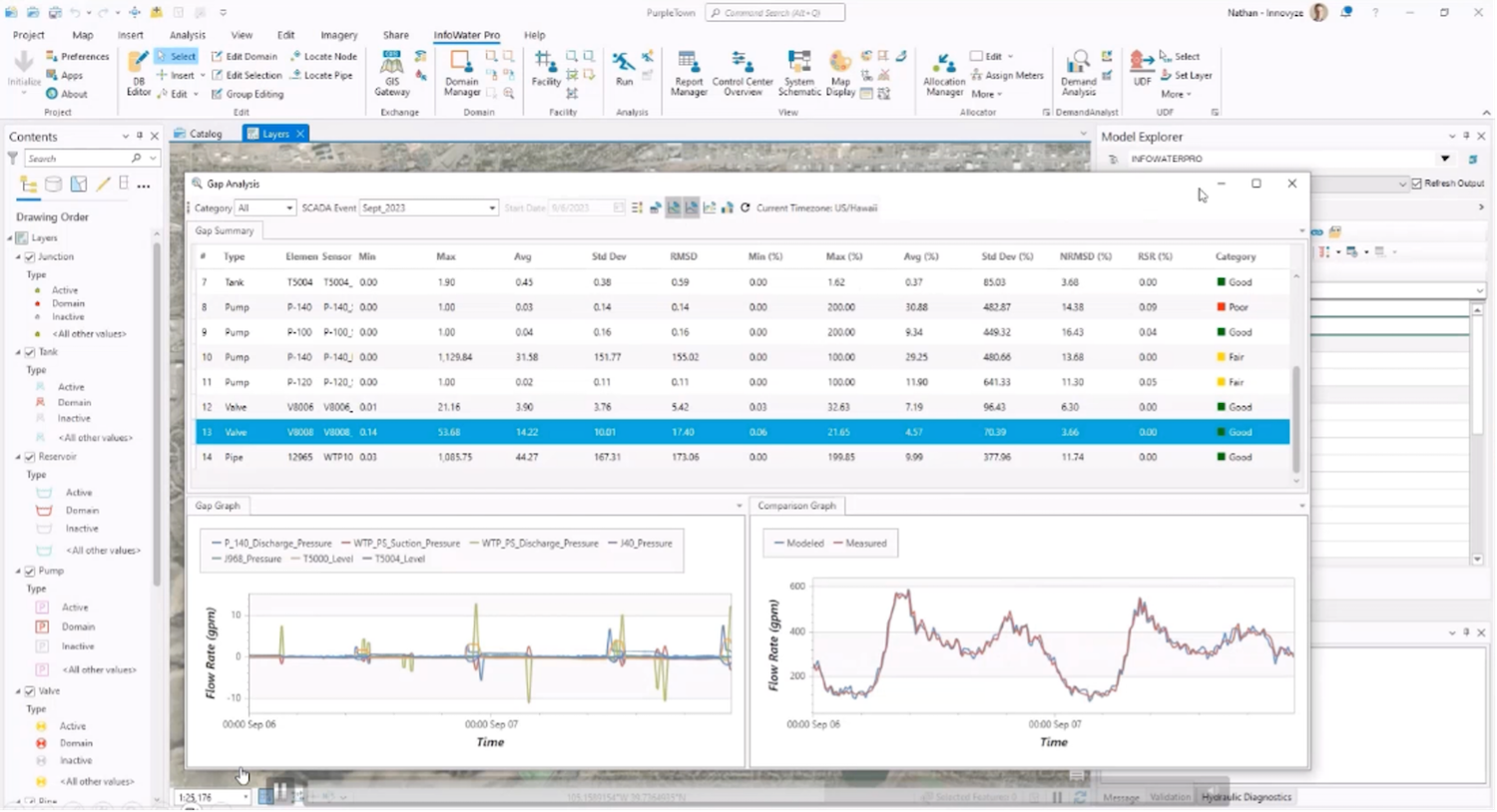
InfoWater Pro 2024.3: SCADA Event Runs from Info360 and Hydraulic Diagnostics improvements
Our development teams have been hard at work bringing new updates to InfoWater Pro this year. In the 2024.2 release, we rolled out fire flow simulations in the cloud, increasing speed and allowing modelers to save their local machines from intensive simulations. Notably, the Denver Water team said their fire flow“simulation times went from over 1.5 hours to…
Product news
-

4 features that set InfoWater Pro apart as a GIS-based water distribution modeling platform
As engineers, we understand the need for simple modeling interfaces that work as efficiently and autonomously as possible. Our ability to access and leverage GIS data and platforms is a critical component of the model creation process as well as our results analysis. So, as we make our way through the plan, design, build, operate,…
Product news
-
InfoWater Pro 2024.2 joins the cloud with speedy Fire Flow simulations
Our latest InfoWater Pro 2024.2 release is now live with the ability to send Fire Flow simulations to the cloud. These simulations are without a doubt much faster than running Fire Flow models via your desktop. We’ve seen results that can be up to 60X faster. Of course, performance will vary based on the size…
Product news
-
A fresh batch of Water Drop workflow videos
As summer winds down and students get back to hitting the books, you can step up your hydraulic modeling skills with four new Water Drop workflows. I’ve also been told these are great to listen to while enjoying a late summer afternoon thunderstorm. Another Civil 3D and InfoWorks ICM integration Ryan Brown takes a look…
Water Talks
-
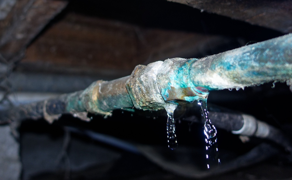
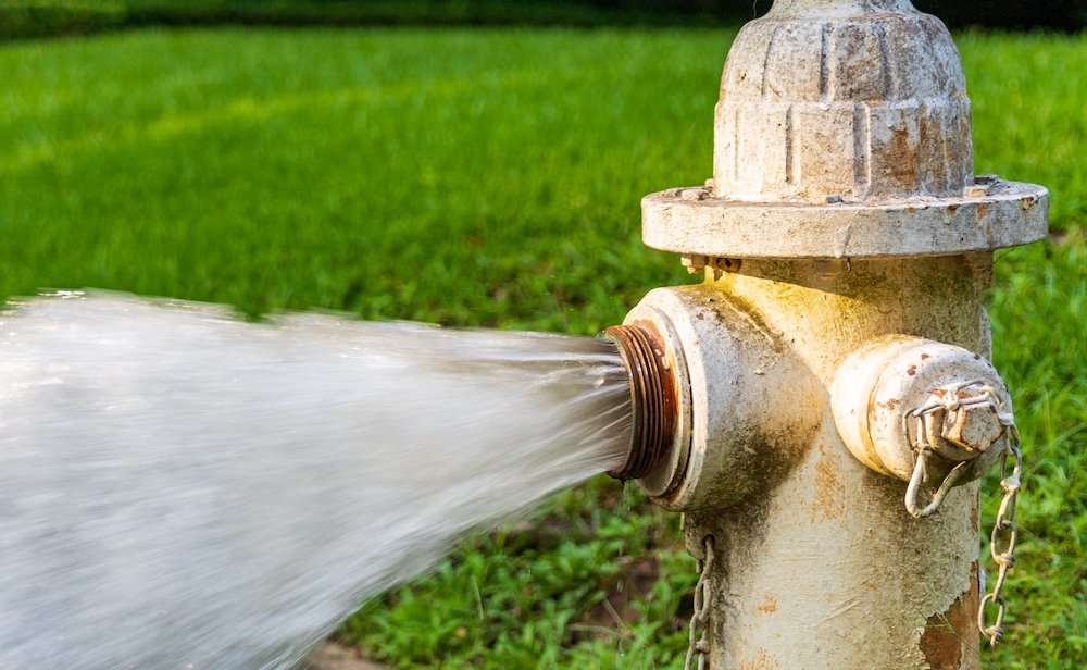
3 Steps to understanding water loss and leakage: strategic overview, zonal planning, operations
Utilities sometimes spend large amounts of money on non-revenue water. If you spend hours developing annual water loss reports to track the money you spend on non-revenue water, you may be eager to find a leakage strategy to reduce these losses throughout your water network, for both transmission and distribution. While leakage strategies may mean…
Water distribution
-

Hunter Water: using InfoWorks WS Pro to help undertake an important yearly risk analysis
Hunter Water Corporation (HWC) is the second largest water and sewerage utility corporation in New South Wales. This state-owned corporation has been operating since 1892 and serves a population of almost 600,000 people spread across 6,671 square kilometres in the areas of Cessnock, Lake Macquarie, Maitland, Newcastle, Port Stephens, Dungog, and small parts of Singleton.…
Customer stories
-
3 fresh Water Drop workflow videos: pipe-sizing automation, fireflow analysis, and new cloud capabilities
Happy Spring, everyone. You know what they say: April showers bring May Water Drops! It’s certainly true where I live in Denver, Colorado. Earlier this month, we had 1/3 of our annual rainfall occur in just 72 hours. Streets, roads, and (unfortunately) my basement were flooded. It was a prescient reminder of why hydraulic modelers…
Water Talks