Location-Powered Design and Make for a Better-Built World
We were thrilled to be back in San Diego as a Gold Sponsor of the Esri User Conference (UC), the largest gathering of GIS professionals in the world with more than 18,600 attendees.
For Autodesk, the UC is more than a conference. It’s a pivotal moment each year where we deepen our strategic alliance with Esri and joint customers, showcase innovations, and celebrate the combined power of BIM and GIS. By bridging the gap between geographic and design processes, our alliance allows for the seamless movement of data and information between BIM and GIS. This integration helps teams plan, build, and manage assets with reduced social, economic, and environmental impacts.
The UC provides a great opportunity to reinforce the value of BIM and GIS as infrastructure customers advance their digital transformation journey. Water, transportation, and public sector attendees can connect on a deeper level to understand more of the new integrations and solutions available. This year’s UC was one for the books. We are even more energized about the impact we’re making together to help our customers design and make a better built world.
Let’s look at what made it all so special.
Discovering New Insights
The conversations in San Diego revealed what’s really top of mind for many GIS professionals. There’s a little less skepticism this year as AI continues to be slowly approached and implemented in workflows. We are so excited to see the implementation and application of AI in workflows and Esri’s investment in these tools.
It was also abundantly clear that location data is critical to bring together with building and infrastructure data to help in emergency response. As extreme weather events occur more frequently, the importance of digital twins is critical for emergency responders.
Above all, the energy at the event and the excitement for the future were palpable.
“It’s been a real pleasure for the past few days to be immersed with the vibrant Esri community and seeing Esri’s leadership in action,” Raji Arasu, CTO, Autodesk. “We are coming up on the eighth anniversary since we announced the partnership in 2017. I’m very excited about the things we are doing together and excited about the things we’re going to go do in the future.”
Strengthening Ties with Esri Leadership and Customers
UC is not only about showcasing technology but also deepening our relationship. Throughout the week, Autodesk teams held 1:1 meetings with customers and Esri leadership, reinforcing our commitment to our customers’ success.
A highlight was the Joint Customer Council meeting, where Autodesk and Esri customers came together to share perspectives, align on needs, and envision what’s next. These conversations ensure our alliance continues to deliver solutions that matter most to AECO.
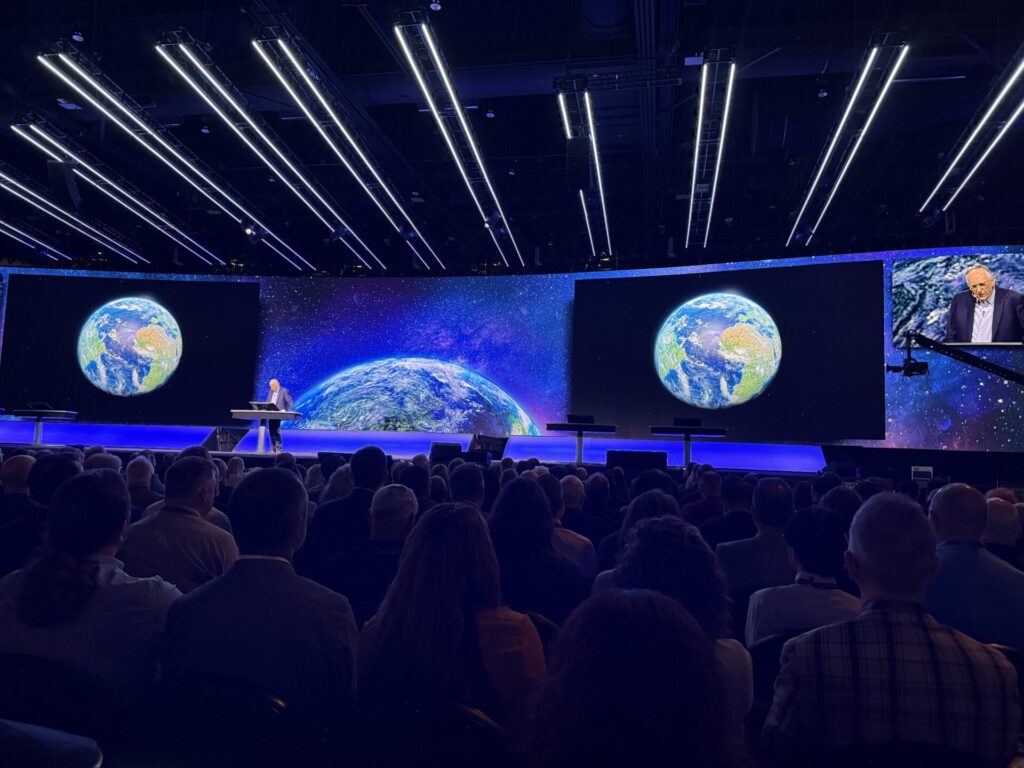
The visibility of our strong relationship reached the main stage, too. We were honored to receive multiple shoutouts during the opening plenary session delivered by Esri CEO Jack Dangermond. These mentions spotlighted the importance of our partnership and the value we’re delivering together.
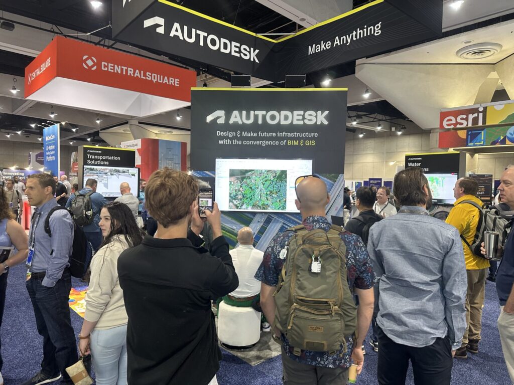
On the Show Floor
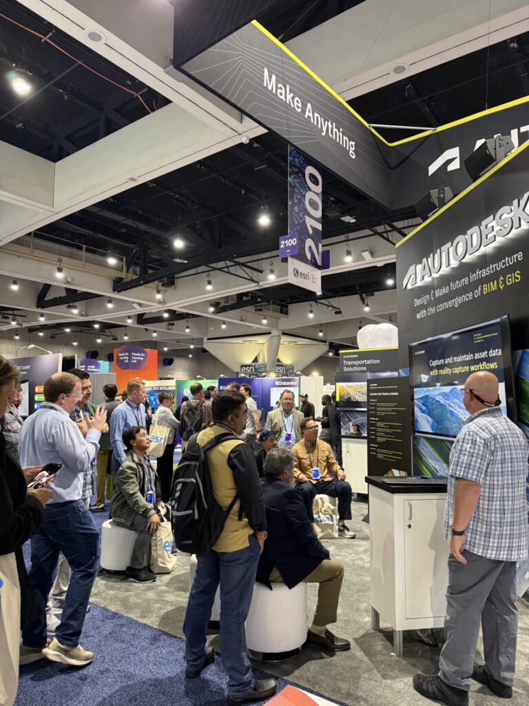
This year, Autodesk took home the Best 10×10 Booth Award. Our presence was designed to be more than a booth. We wanted it to be a hub for education, collaboration, and highlight incredible customer stories. Winning the award was the icing on the cake!
Across the booth and our nine mini-theatre sessions, customers and partners shared their firsthand experiences of how BIM and GIS integration and the transformations underway.
Alongside that, we delivered four major presentations that drew crowds, highlighting Autodesk and Esri’s workflows within the transportation and water industries.
Special thanks to our partners that supported us in the booth and with mini-theatre presentations: Seiler, SolidCAD, Symetri, and US CAD.
Celebrating Customer Success
The true stars of the week were our customers, who generously allowed us to share their groundbreaking projects:
Their stories bring to life the impact of combining BIM and GIS: more accurate decisions, new insights, and smarter workflows.
Sharing the Power of Autodesk Forma
A key focus for Autodesk this year was continuing to educate attendees on Autodesk Forma and the recent integration with Esri’s ArcGIS. Forma enables planners, architects, and engineers to integrate data and insights early in the design process.
ArcGIS for Autodesk Forma elevates designs by incorporating spatial context and environmental data into the early stages of design. This helps designers make more informed decisions, assess the environmental impacts more accurately, and visualize real-world scenarios, ultimately enhancing the quality of the pre-design work.
Good Times at UC 2025
Of course, the conference had a lot of fun moments as well.
Back by popular demand, the “Map Master Challenge: Beat the Autodesk Team” was once again a favorite. We loved having families stop by, stumping the Autodesk team with their fun fact and allowing us to map where they are from.
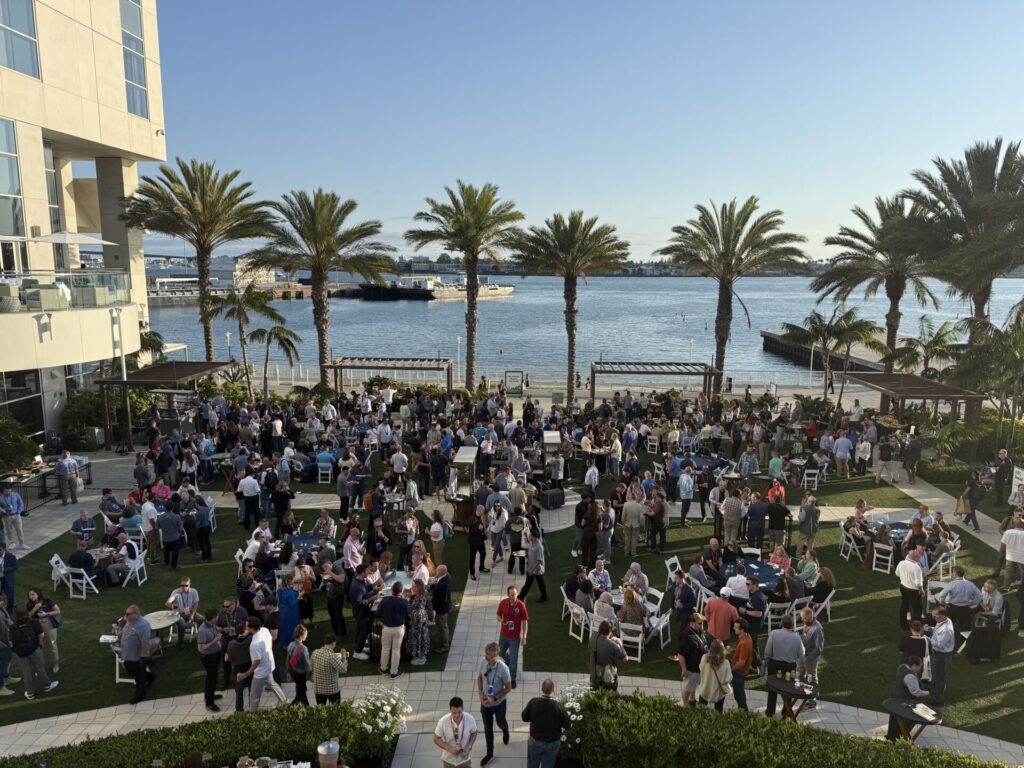
Another Autodesk favorite is the AEC Industry Social, which drew more than 1,000 attendees. It was an incredible opportunity to connect with customers and peers from across the AECO industries. The chance to meet each other and exchange ideas made for a great evening.
See You Next Year!
Mark your calendars for July 13–17, 2026 for Esri UC 2026 in San Diego. We’ll be back as a Gold Sponsor, ready to share new stories, deepen relationships, and keep building toward a better future.