-
The 2026 State of Design & Make Spotlight on Transportation: Insights Shaping the Future of Infrastructure
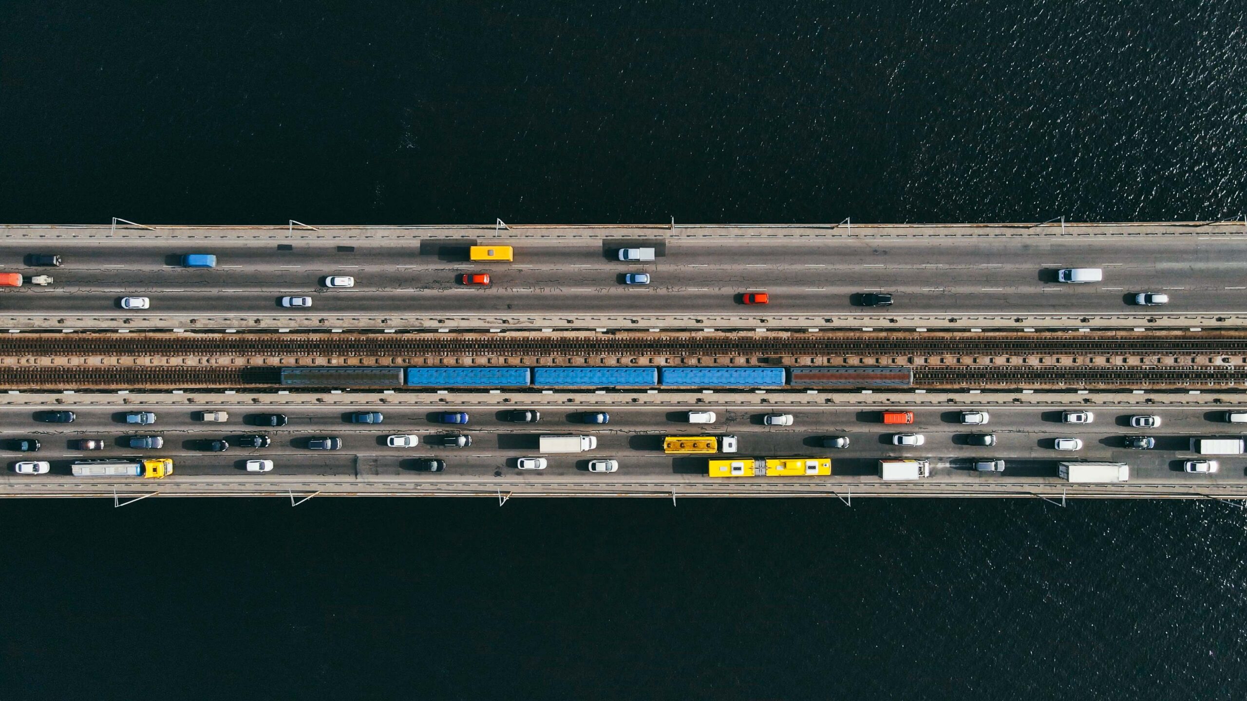
The transportation infrastructure that connects our cities, countries, and continents is experiencing unprecedented pressure—and undergoing rapid transformation. Roads and highways, rail networks, bridges, tunnels, ports, airports: these systems form the connective tissue of modern life. Right now, the professionals responsible for planning,…
Infrastructure
-
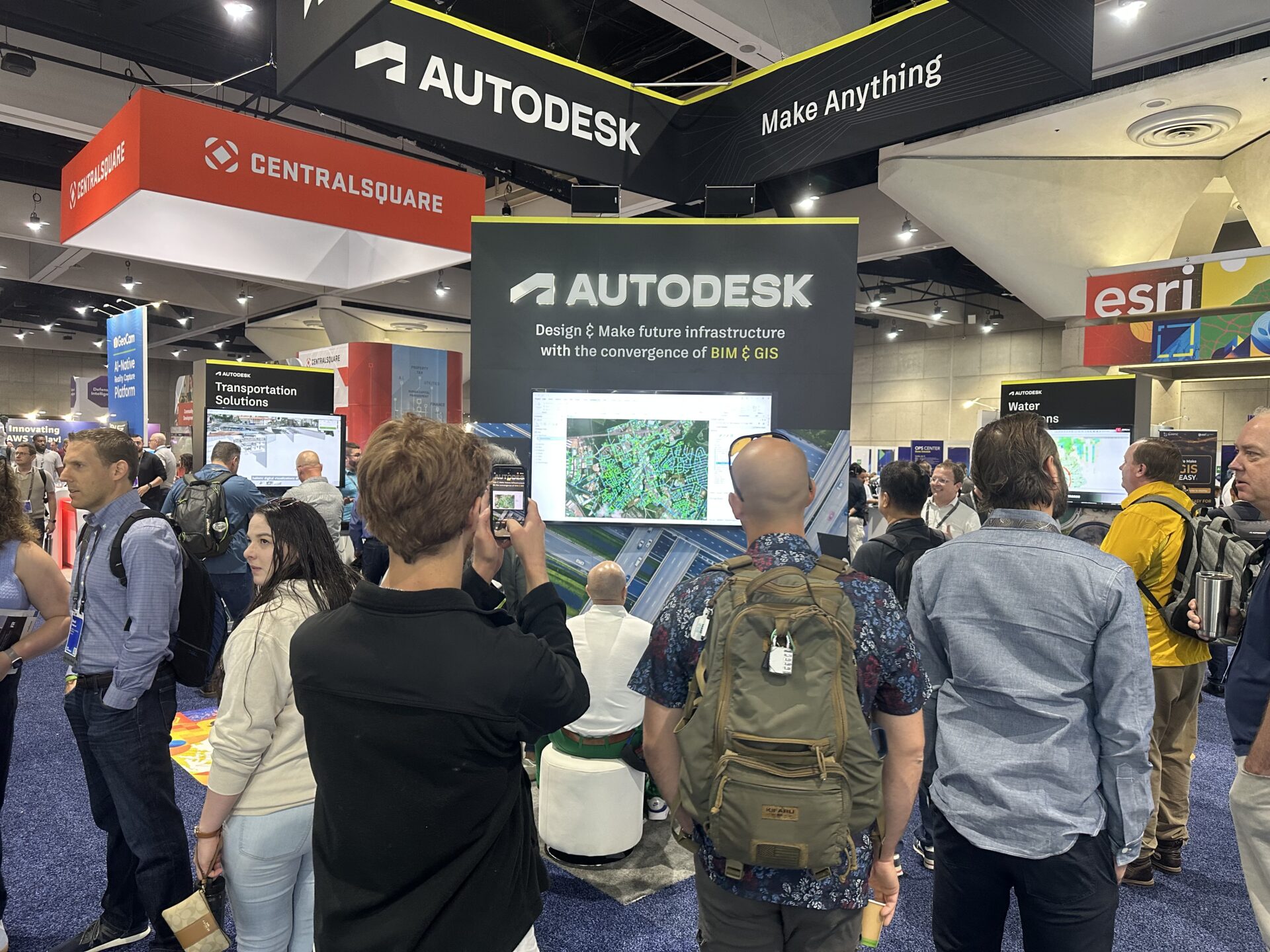
Design, Make, and Manage Resilient Infrastructure with BIM and GIS: Highlights from Esri User Conference 2025
Location-Powered Design and Make for a Better-Built World We were thrilled to be back in San Diego as a Gold Sponsor of the Esri User Conference (UC), the largest gathering of GIS professionals in the world with more than 18,600 attendees. For…
Infrastructure
-
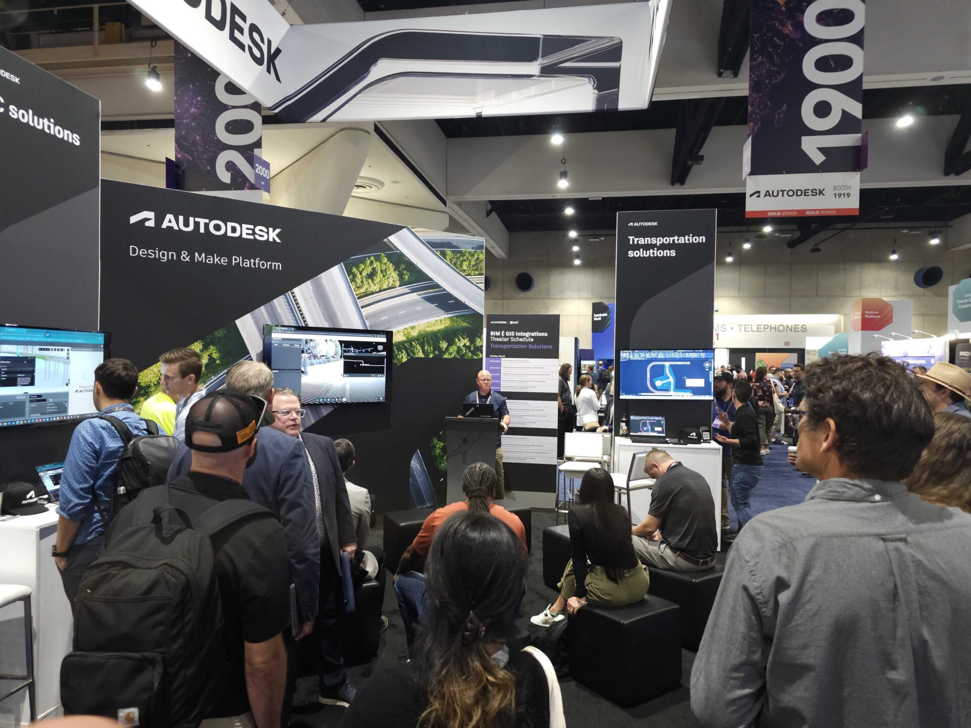
Making Future Infrastructure Real with BIM and GIS: Esri User Conference 2025
Real power happens when BIM and GIS are combined. It means removing data silos and connecting the natural and built world to design, make, and manage more resilient infrastructure. That’s when truly positive outcomes start to happen. Over the past 8 years,…
Events
-

Take Your BIM and GIS Knowledge to the Next Level with Free, On-Demand Classes
Data silos? What data silos? That’s the new reality with BIM and GIS together. Since Autodesk and Esri joined forces, owners and AEC design teams have discovered incredible new efficiencies and workflows—all with data at the center. At the start of…
Infrastructure
-
BIM & GIS Cloud Collaboration with Autodesk Construction Cloud and Esri’s ArcGIS GeoBIM
As you might be aware, Autodesk has partnered with Esri, the global leader in geographic information system (GIS) technology, to unite BIM and GIS for driving digital transformation across the AEC industry. Through this partnership, our integrated BIM and GIS solutions bring…
Infrastructure
-
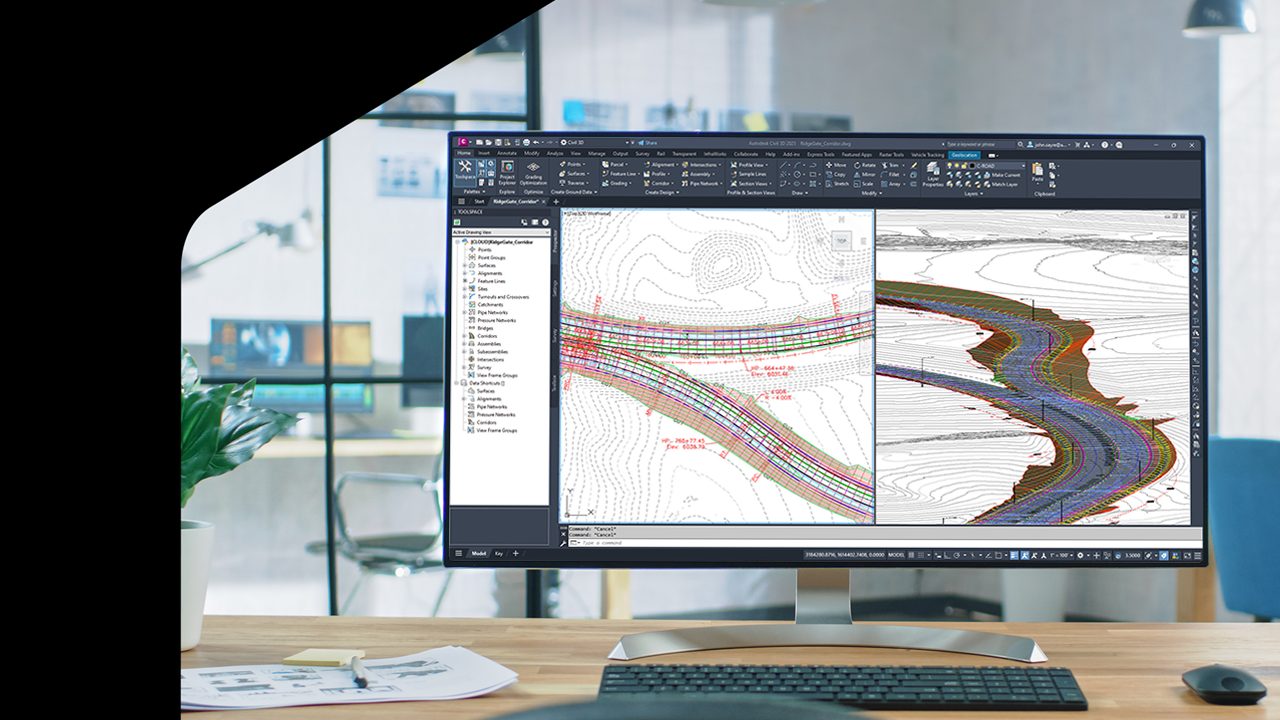
What’s New in Civil 3D 2025.1
Save time and enhance civil engineering design with user-driven improvements and key integrations From faster performance in corridors and surfaces to enhanced features for roadway and rail design, Civil 3D 2025.1 brings more improvements than ever to make your work more efficient.…
What’s New