Hydraulic modeling
-
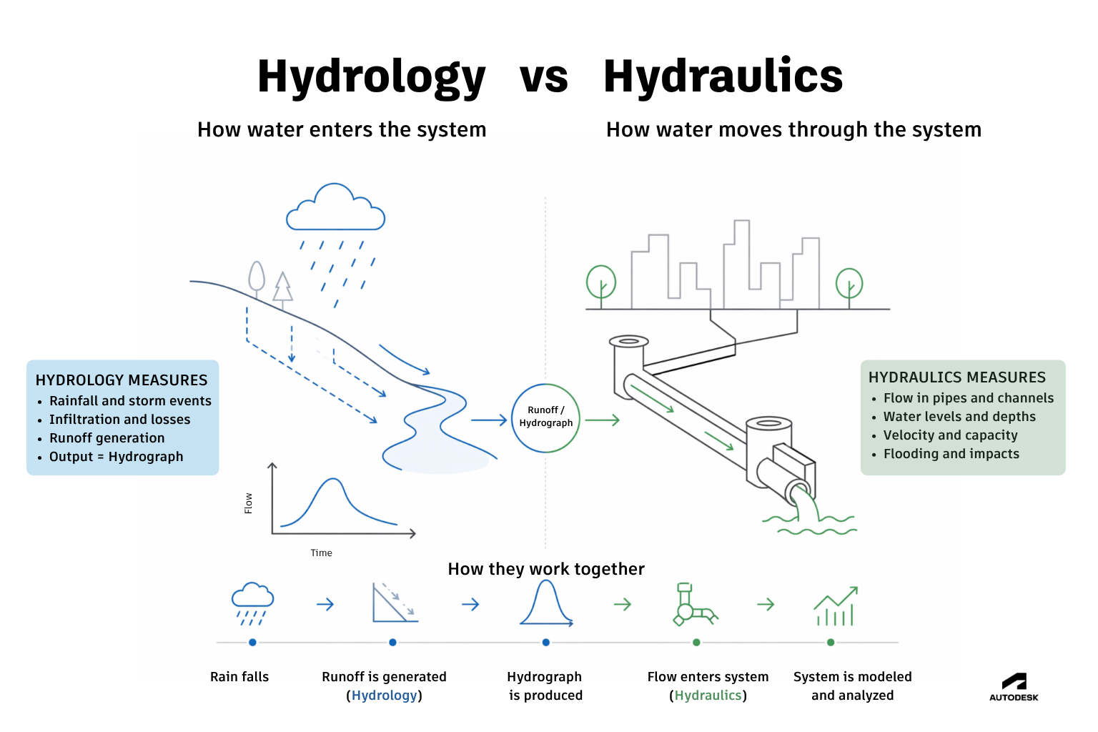
Hydrology vs hydraulics: What’s the difference?
Hydrology studies how water enters a system (rainfall and runoff), while hydraulics focuses on how water moves through that system (flow, velocity, flooding). The difference is very important when modeling. Hydrology and hydraulics are often used interchangeably — but they solve very different parts of the same problem: In short: In other words, hydrology defines…
Hydraulic modeling
-
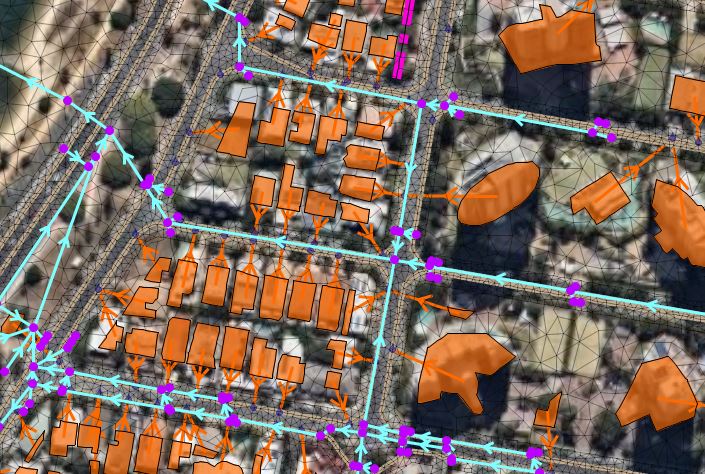
InfoWorks ICM Ultimate 2027 brings network design and analysis together for AECO
InfoWorks ICM – our hydraulic modeling software for stormwater, sewer, and flood network analysis and design– gets a big update for 2027. Network Design is the headline for this release, but the bigger story is the holistic workflow it unlocks in Autodesk’s AECO ecosystem. It’s that time of year when we release our biggest updates. What’s…
Product news
-

How our open-source GitHub repository grew from a simple idea into a global engineering community
Engineers working in hydraulic modeling are increasingly turning to GitHub, scripting, and AI tools to automate workflows and extend their models – including our customers. GitHub has become the world’s largest platform for sharing open-source code. Engineers, researchers, and developers use it to publish everything from small scripts to full software projects. Many widely used…
Hydraulic modeling
-
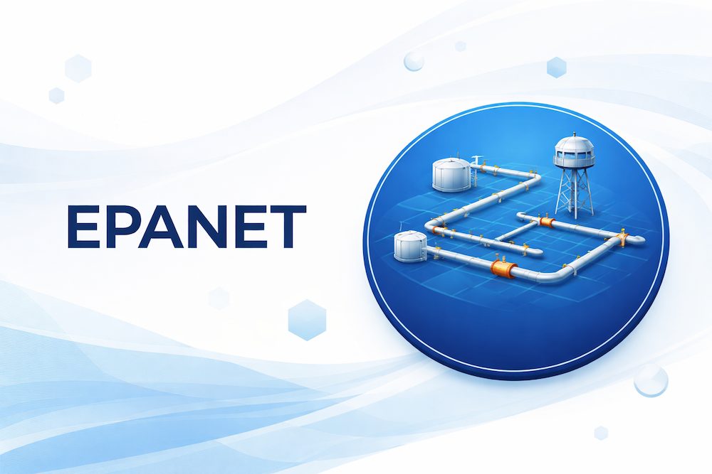
What is EPANET? A practical guide for water engineers
If you’ve spent any time working in water distribution modeling, you’ve probably come across EPANET. It is one of the world’s most widely used hydraulic modeling software applications for water distribution systems. EPANET is a software tool used to simulate the hydraulic and water quality behavior of pressurized water distribution systems. Engineers use it to…
Hydraulic modeling
-

How engineers model surges in real systems using water hammer software
Water systems don’t always behave gradually. Sometimes, they change in an instant. A pump shuts down, a valve closes, the flow suddenly stops – and a pressure wave travels through the system. Pipes vibrate, pressures spike, and water utility workers shudder inside because they know their infrastructure has been put at risk. They may ask…
Hydraulic modeling
-
Integrated catchment modeling explained: How rivers, sewers and surface water interact
Integrated catchment modeling is the simulation of how water moves across an entire catchment by combining rivers, drainage networks, and surface flow within a single model. It allows engineers to understand how different parts of a water system interact during events such as flooding by performing complex hydraulic modeling. This approach combines 1D and 2D…
Hydraulic modeling
-
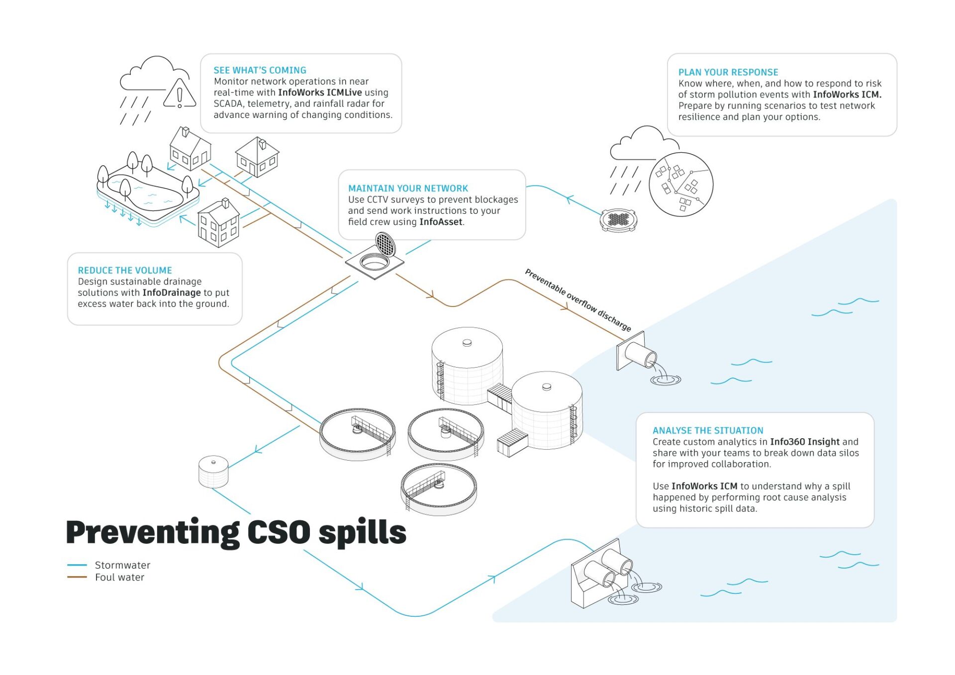
Hydraulic modeling explained: a guide to 1D, 2D and integrated catchment modeling
Hydraulic modelling is the simulation of how water flows through systems such as pipes, rivers, and surface floodplains. Engineers use it to predict water levels, flow rates, and flood risk, helping design and manage water infrastructure under different conditions. Hydraulic modeling often combines 1D and 2D approaches to represent both network flows and surface behavior…
Hydraulic modeling
-
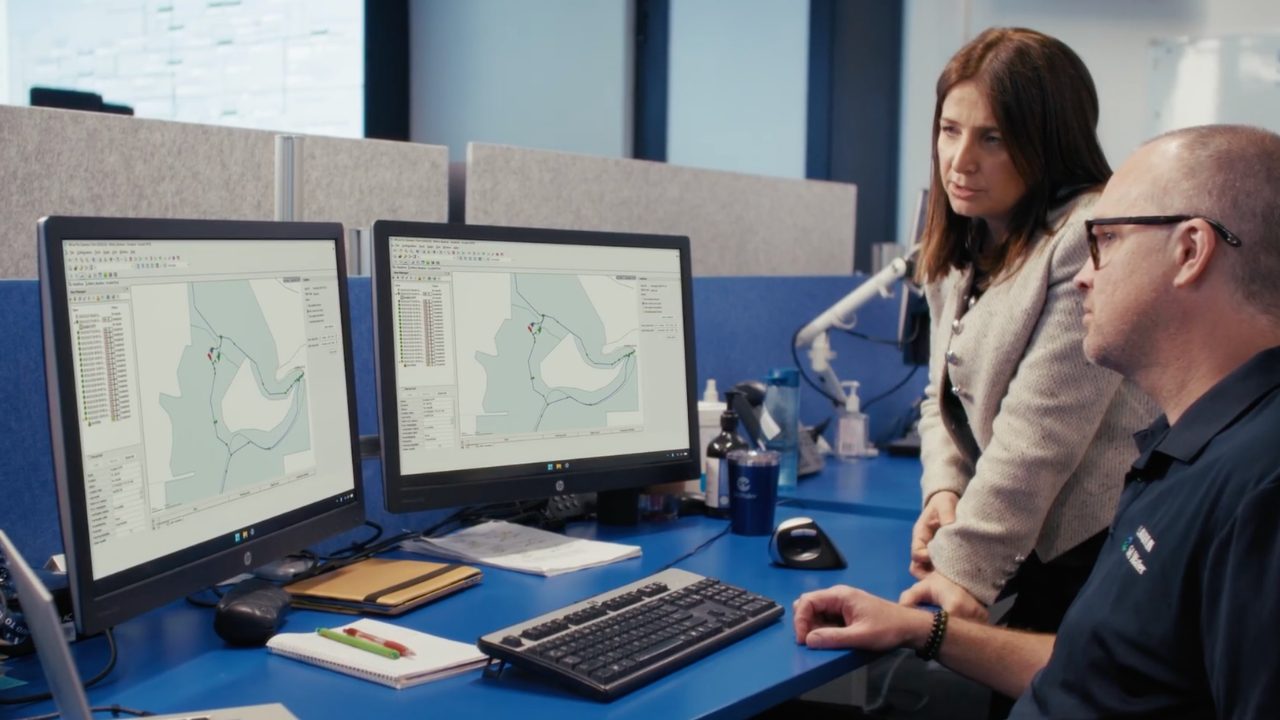
SA Water is advancing their digital maturity with live water network modelling
By implementing real-time water network modeling, SA Water is strengthening operational resilience, improving decision-making, and supporting reliable services. Water utilities today face increasing complexity: growing demand, climate variability, expanding infrastructure, and rising expectations for reliability. For SA Water, which delivers essential water and wastewater services to more than 1.8 million South Australians, managing that complexity…
Customer stories
-
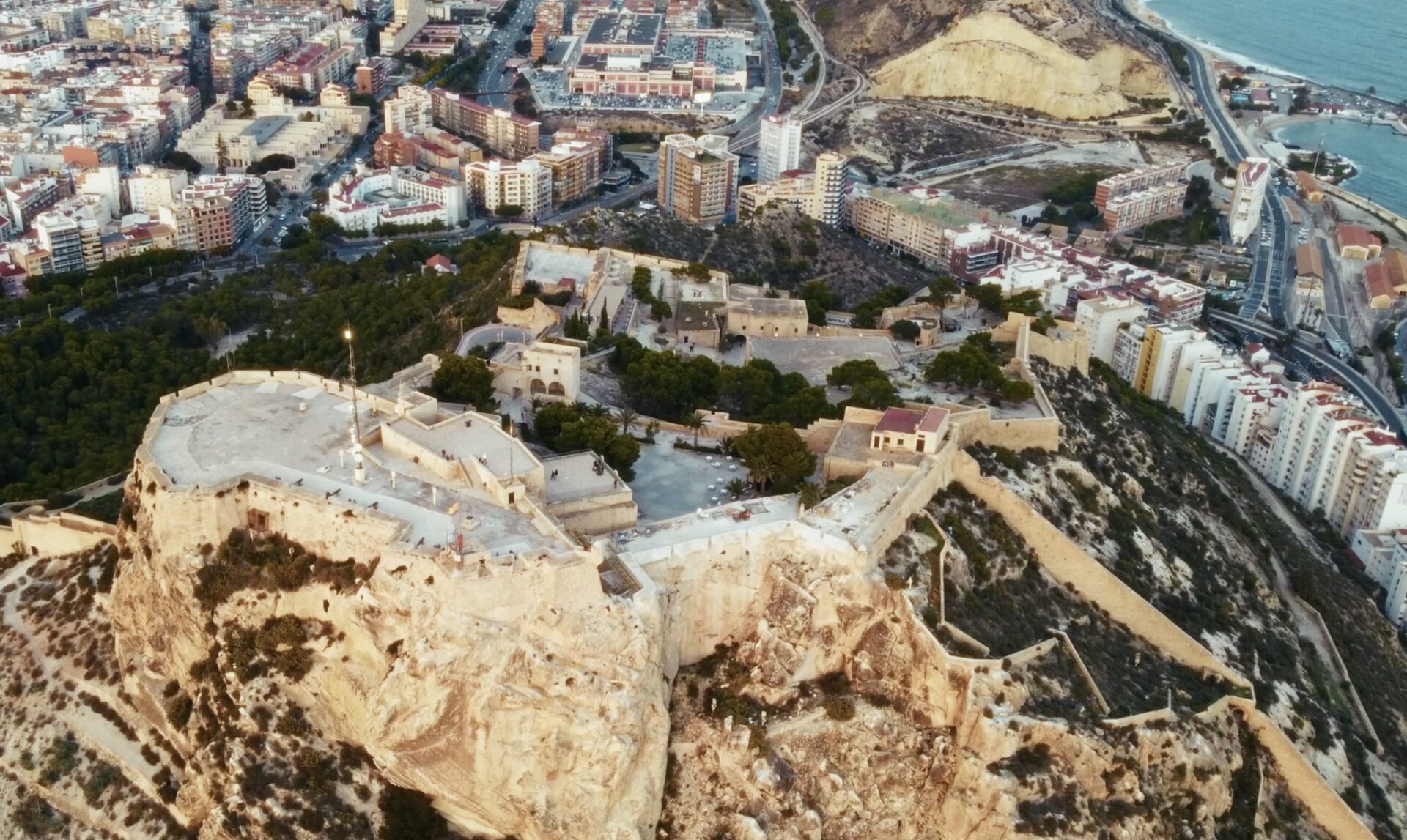
Aguas de Alicante’s digital twin water transformation
Aguas de Alicante is one of Spain’s oldest water utilities, with roots dating back to 1898 when potable water was first brought to the city of Alicante. It operates under a public-private model and manages the integrated water cycle — including water capture, treatment, distribution, sewerage, and wastewater purification — for Alicante and surrounding municipalities.…
Customer stories
-
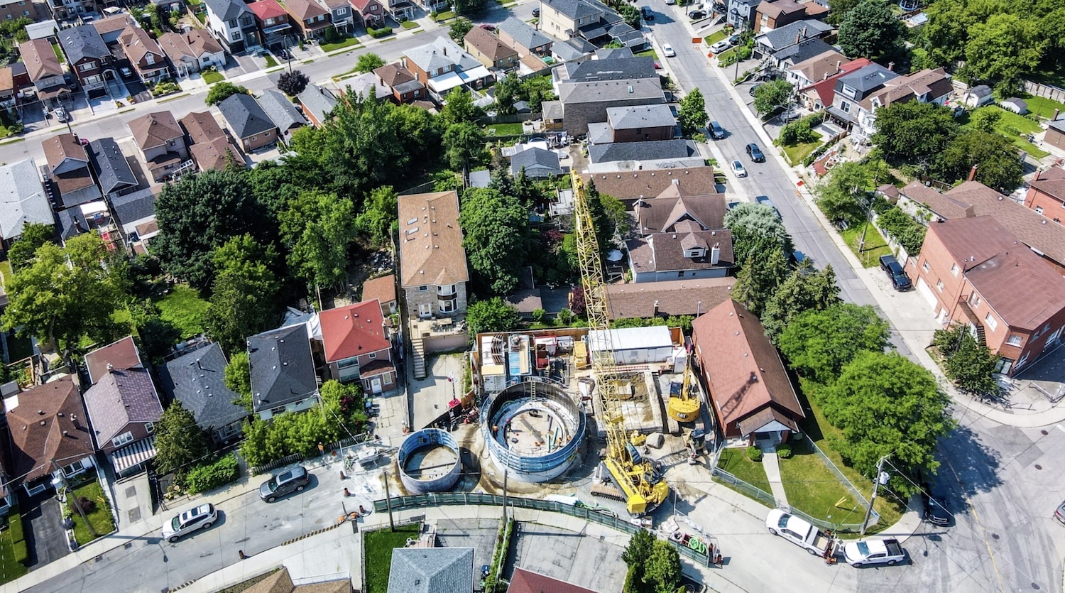
Jacobs: How 1D + 2D modeling in InfoWorks ICM is controlling stormwater in Toronto (and saving $$$)
The Woodborough Park neighborhood in Toronto is part of the Fairbank-Silverthorn area, which experiences significant flooding challenges, especially during heavy rainfall events. Their two big problems are a long history of basement flooding and sewer system overloads. Like many North American cities without separate sewer and water systems, they struggle with CSOs (Combined Sewer Overflows),…
Hydraulic modeling