ROADS AND HIGHWAYS DESIGN
Drive road and highway projects to success
Drive road and highway projects to success
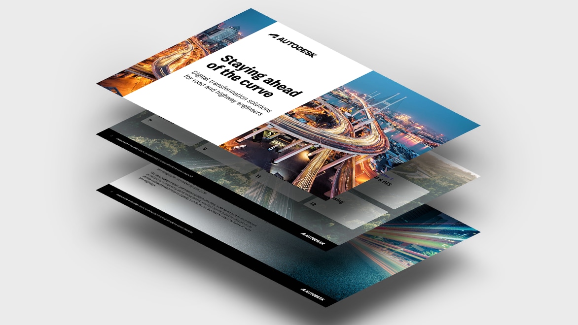
Meet the evolving demands of roads and highways with digital, cloud-based workflows. Connect teams in a common data environment, design with real-world context, and deliver resilient roads and highways for the future. Download our new e-book for insights and solutions to help your firm's transformation journey.
How civil engineering firms can deal with mounting pressures
How civil engineering firms can deal with mounting pressures
As regulations increase, deadlines shorten, and projects become more complex, civil engineers must embrace digital technologies to be as efficient as possible and keep design quality up. Our new e-book is packed with valuable insights for road and highway engineers dealing with these pressures, including:
The most urgent challenges in the industry, as per a survey of civil engineering leaders
The top benefits of digital transformation according to The 2024 State of Design and Make Report
Industry solutions firms can use to address those challenges
Download the e-book now to gear up for the future of roads and highways.
Partner with Autodesk to
prepare for the road ahead
Partner with Autodesk to
prepare for the road ahead
Design, collaborate, and deliver resilient roads and highways from a single cloud-based platform. Drive efficiencies in every project and win more opportunities with Autodesk software.
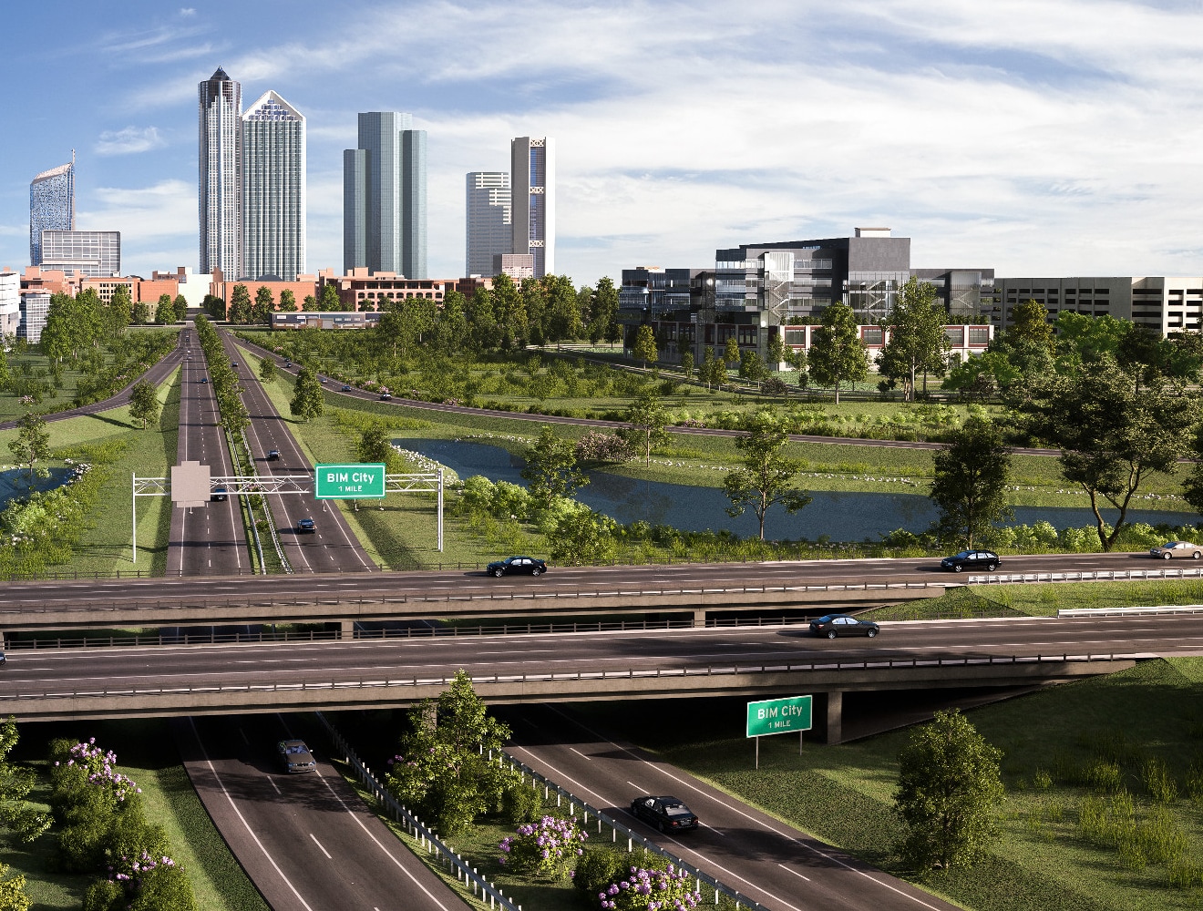
Road infrastructure solutions for forward-thinking firms

Maximize resources with digital project delivery
Maximize resources with digital project delivery
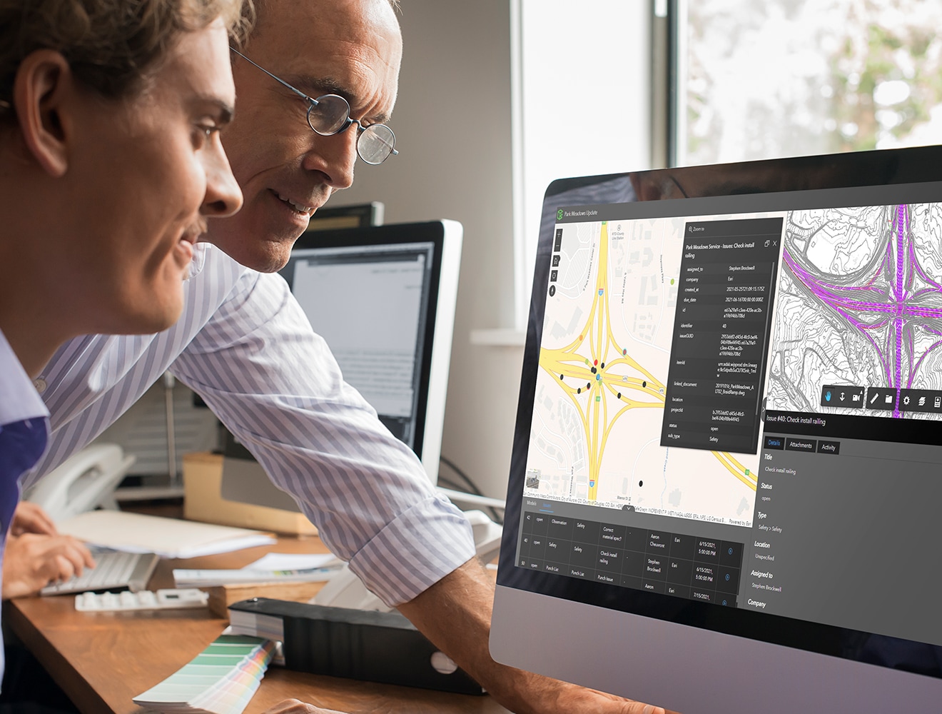
Unite people, data, and processes across the project lifecycle in a cloud-based, common data environment. Let project teams collaborate anytime, anywhere. Reduce errors and increase capacity using transparent and connected workflows; and share the right data at the right time. Your whole team can make the most informed decisions with a comprehensive project view brought to you by digital project delivery.
55% of firms using digital project delivery say it significantly increased their team’s capacity.

How Autodesk enhances your road design workflows
Reduced complexity
Reduced complexity
Allow teams to seamlessly communicate, collaborate with the same data, minimize rework, and meet complex project requirements for government regulations, traffic management, and more.
Efficient design
Efficient design
Combine real-world context and information-rich models for quicker, more accurate road and highway projects from plan to hand over.
Better collaboration
Better collaboration
Let stakeholders collaborate in real time from anywhere, in a cloud-based environment built on data from every discipline.
Improved win rate
Improved win rate
Offer more competitive deadlines, impress clients and stakeholders with model and design accuracy, and boost operational efficiency to grow your project pipeline.
Get inspired with these roads and highways success stories

"Digital project delivery brings together communication, visualization, and safety. These are key components for our industry to innovate and go digital."
Webinar: Advanced Workflows for Planning & Designing Roads and Highways
Webinar: Advanced Workflows for Planning & Designing Roads and Highways
Discover how to deliver more resilient road and highways using cloud-based workflows throughout the project lifecycle, with live demos from our experts.
Autodesk software for road and highway projects
See where the road and highway design industry is headed
ARTICLE
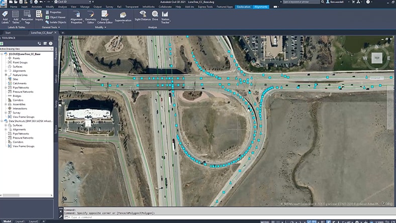
How to design roadways in Civil 3D
How to design roadways in Civil 3D
Learn how to improve data exchange and enhance accuracy in road infrastructure projects with Civil 3D.
ARTICLE
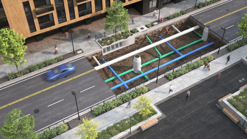
Integrated highway design with Civil 3D + InfoDrainage
Integrated highway design with Civil 3D + InfoDrainage
Learn how drainage design solutions can work with civil design tools and integrate all FHWA culverts and reporting requirements for USDOT design work.

ARTICLE
Smartening up Europe’s biggest road network
Smartening up Europe’s biggest road network
A look ahead at how France plans to achieve smarter, safer road infrastructure with BIM and GIS.
ARTICLE
Tackling traffic jams with an eco-friendly highway
Tackling traffic jams with an eco-friendly highway
Reducing traffic jams means reducing air, noise, and light pollution. Here’s how Rotterdam does it with digital technology.
Explore Autodesk solutions for other industries
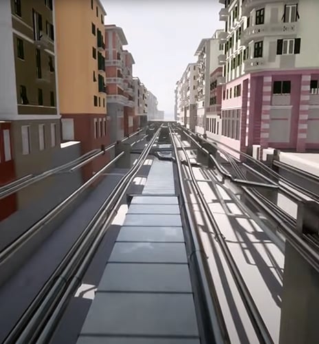
Rail
Rail
With reduced complexity and increased quality, deliver best-in-class rail infrastructure.
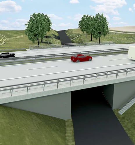
Bridges and tunnels
Bridges and tunnels
Connect multidiscipline design workflows for the layout, design, and analysis of bridges and tunnels.
Airports and ports
Airports and ports
Own and manage all airport project data to reduce risks and save time and money.
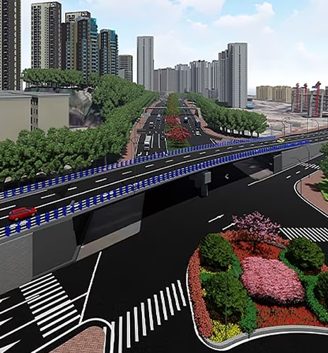
Transportation
Transportation
Empower your transportation workforce to achieve greater resilience and stability.
Let’s talk roads and highways software
Let’s talk roads and highways software
Speak with one of our technical experts to see how our solutions can help you design and make more resilient road infrastructure.
Speak with one of our technical experts to see how our solutions can help you design and make more resilient road infrastructure.
Let’s talk roads and highways software
Let’s talk roads and highways software
Speak with one of our technical experts to see how our solutions can help you design and make more resilient road infrastructure.
Speak with one of our technical experts to see how our solutions can help you design and make more resilient road infrastructure.
Frequently asked questions (FAQs)
Road and highway design is a branch of civil engineering. Roadway design considers the location, alignment geometry, and expected use of the roadway. Roadway design and engineering is primarily responsible for providing a geometric sound (horizontal and vertical alignment) and safe (considering speed, traffic usage, and environment) roadway that can account for the material quantities required to build the road, as well as the effects on the surrounding environment.
Roadways are characterized by their classification and expected usage. Roads are designed based on projected daily traffic volumes, vehicle types, operational speed, and safety factors.
Owners and stakeholders will generally determine the roadway usage, environmental impacts, and preferred alignment location. Engineering service providers (ESPs) are generally responsible for developing final details of the road which include the horizontal and vertical geometry, the construction quantities, the cost estimate, and final plans and specification to be implemented during construction.
Owners, planners, and stakeholders use design software to determine existing conditions, evaluate maintenance operations, and assess alignment alternatives. Owners, ESPs, and general contractors also use engineering software to determine efficient design details and construction details to implement during the construction of the roadway project.