Land development solutions
Land development solutions
Stay competitive in land development with digitally mature, up-to-date tools, workflows, and capabilities.
Solve the latest land development challenges
Solve the latest land development challenges
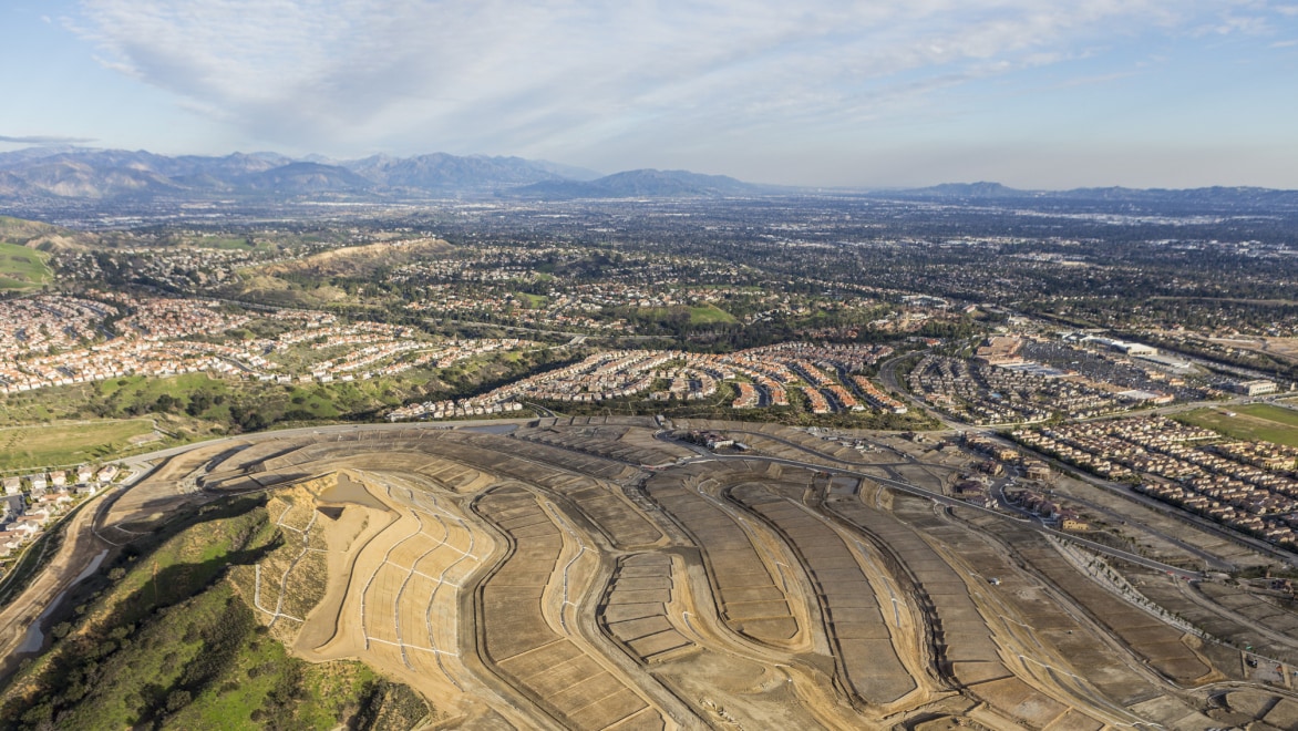
The land development industry is facing talent gaps, siloed work, compressed schedules, and other hurdles. Autodesk solutions can help, by providing more efficient workflows, interoperability, and collaboration. Enjoy improved designed quality and increased accuracy throughout the project lifecycle.
Land development solutions

Maximize resources with digital project delivery
Connect people, data, and processes across the project lifecycle in a cloud-based, common data environment. Expand beyond the office; work together anytime, anywhere. With transparent workflows, you can reduce distractions and errors, and increase capacity. And with a centralized source of truth, you can eliminate siloes, improve access to data, generate insights, and enjoy complete oversight.
Connect people, data, and processes across the project lifecycle in a cloud-based, common data environment. Expand beyond the office; work together anytime, anywhere. With transparent workflows, you can reduce distractions and errors, and increase capacity. And with a centralized source of truth, you can eliminate siloes, improve access to data, generate insights, and enjoy complete oversight.


What better site development tools can do
Boost design quality
Boost design quality
Get more efficient land development workflows, interoperability, and collaboration. Greater productivity leads to improvements in design quality.
Increase win rate
Increase win rate
Become more competitive and digitally mature. Stay on the cutting edge, with the most up-to-date tools, resources, and workflow capabilities.
Reduce errors and rework
Reduce errors and rework
Collaborative workflows with multiple disciplines lead to fewer field change requests and model rework. Gain more accurate models throughout the project lifecycle.
Streamline collaboration
Streamline collaboration
Improve communication across a decentralized workforce. Enjoy decreased delivery times, increased productivity, and reduced field change requests.
See how others are revolutionizing land development

"The tools allowed us to quickly make design changes and evaluate their impact on the project."
—Charles D'Errico, IT Systems Analyst, Thomas & Hutton
→Read story![“[Designing in context] helps … the decision-makers to be pa Image](http://images.ctfassets.net/v7wr16nrr0mz/4ch0yZ391RQ8jjqRldYmE0/f9f41f50bf3bd75f9a901e36f841c34f/cropped-1692377450.jpg)
“[Designing in context] helps … the decision-makers to be part of the discussion early enough in the design.”
—François Appéré, Global Autodesk Platform Director, Arcadis
→Watch video (2:07 min.)
“The future lies with integrating systems with each other, like the partnership with Autodesk and Esri has proven.”
—Jeroen Tishauser, Information Manager, VolkerWessels
→Watch video (2:02 min.)See how others are revolutionizing land development

"The tools allowed us to quickly make design changes and evaluate their impact on the project."
—Charles D'Errico, IT Systems Analyst, Thomas & Hutton![“[Designing in context] helps … the decision-makers to be pa Image](//images.ctfassets.net/v7wr16nrr0mz/4ch0yZ391RQ8jjqRldYmE0/f9f41f50bf3bd75f9a901e36f841c34f/cropped-1692377450.jpg)
“[Designing in context] helps … the decision-makers to be part of the discussion early enough in the design.”
—François Appéré, Global Autodesk Platform Director, Arcadis
“The future lies with integrating systems with each other, like the partnership with Autodesk and Esri has proven.”
—Jeroen Tishauser, Information Manager, VolkerWessels
Autodesk land development products
Discover some of our land development capabilities
INFOGRAPHIC
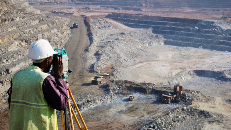
Topographic land surveying
Topographic land surveying
Autodesk infrastructure design software simplifies the identification and mapping of terrain features.
ARTICLE
Land surveying
Land surveying
With Autodesk land surveying software, streamline the evaluation of a 3D landscape.

E-BOOK
Drone surveying
Drone surveying
Experience the accuracy, efficiency, and versatility of drone surveying as you efficiently gather precise aerial data.

ARTICLE
Scan-to-BIM
Scan-to-BIM
The refined scan-to-BIM workflow automates the modeling process and provides a visualization of design intent.
Resources for land development professionals

Article
How urban sustainability builds resilience
How urban sustainability builds resilience
Urban sustainability recognizes every aspect of city living, designing with all of the interconnected effects in mind.

ARTICLE
Innovation fuels green energy in Japan
Innovation fuels green energy in Japan
See how green-energy company afterFIT is working toward Japan’s low-carbon initiatives with 3D design simulations.

Article
Digital urban planning boosts sustainability
Digital urban planning boosts sustainability
Near Abu Dhabi, United Arab Emirates, digital urban planning is helping create a sustainable community development.

ARTICLE
Circular cities for a greener future
Circular cities for a greener future
Learn five ways to move toward a circular city, which is designed to minimize negative effects on the environment.
Explore related industries
Water
Water
Autodesk water industry solutions help you manage today's water systems and build future-ready infrastructure.
Plant
Plant
Autodesk plant design and engineering software helps you design, build, and manage plants efficiently.
Frequently asked questions (FAQs)
Land development is a complex process that involves the evaluation, planning, engineering, and construction of improvements on a piece of land based on codes and regulations set by the municipality and regulatory agencies.
Planners provide conceptual and alternative layout options to the developers. Surveyors provide a service of gathering all existing conditions that is shared with the development team. Civil engineers provide a variety of services for land development projects including grading and drainage design, utility design, roadway design, agency approval, and project management. The contractor provides services for the actual construction of the approved design.
Civil engineers, architects, and surveyors use the AEC Collection combined with Autodesk Construction Cloud to better design land development projects and increase collaboration using the power of the cloud.
Let's talk land development
Let's talk land development
Contact us to learn what Autodesk solutions can do for your land development projects.
Contact us to learn what Autodesk solutions can do for your land development projects.
Let's talk land development
Let's talk land development
Contact us to learn what Autodesk solutions can do for your land development projects.
Contact us to learn what Autodesk solutions can do for your land development projects.