-

Why integrated hydraulic modeling is becoming essential for Middle East water infrastructure
Across the GCC and wider MENA region, utilities, municipalities, and engineering consultancies are accelerating investment in hydraulic modeling, stormwater management, flood resilience, and wastewater infrastructure modernization. From Dubai and Riyadh to Doha and Jeddah, large-scale urban expansion and climate-driven rainfall events are increasing pressure on drainage networks, sewer systems, and water infrastructure. Integrated approaches can…
Commentary
-

Why water professionals can’t miss Autodesk University 2026
Looking to stay ahead of the latest trends in digital water infrastructure? Autodesk University 2026 offers a unique opportunity to learn from industry leaders, connect with peers, influence product direction, and explore the technologies shaping the future of water. Here’s why water professionals won’t want to miss this year’s event in Las Vegas. Autodesk University…
Events
-

Why better PRV modeling leads to better pressure management
Some hydraulic modeling software maintains downstream pressure artificially whenever sufficient upstream head exists. While computationally convenient, this can mask valve sizing and operational issues that become apparent under varying flow conditions. Learn how InfoWorks WS Pro improves PRV design using valve headloss curves to give you a more realistic view of what’s happening. Pressure Reducing…
Hydraulic modeling
-
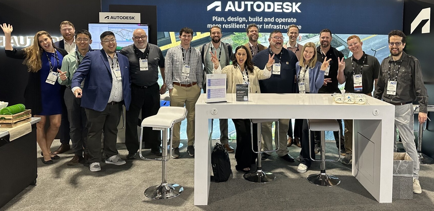
Digital maturity in water utilities: Join Autodesk at AWWA ACE 2026
The water industry is navigating a defining moment. Utilities are being asked to improve reliability, reduce water loss, manage aging infrastructure, respond to climate-driven events, and make smarter capital investments – all while facing workforce constraints and funding uncertainty. At AWWA ACE 2026, Autodesk will join water professionals from across North America to explore how…
Events
-

Autodesk Assistant can now make changes to your hydraulic model on command in InfoWater Pro
Thanks to model context protocol, or MCP, the Autodesk Assistant can now make changes and updates to your hydraulic model through your interactions with it. There’s a moment during big technology shifts where new things stop feeling like features and start feeling like teammates. That’s the goal – and what we’re trying to build –…
AI and Machine Learning
-

Reducing water loss in India’s cities: a digital path to water security
Addressing India’s water challenges requires a better understanding of how water moves through urban networks, which is where tools like hydraulic modeling and water distribution system analysis play a critical role. These tools can help municipalities understand and reduce non-revenue water. A system under pressure The World Bank estimates that India’s urban population will reach…
Commentary
-
Support for MicroDrainage is ending: What you need to know to transition to InfoDrainage
If you’ve been working in drainage design for a while, chances are MicroDrainage has been part of your journey. MicroDrainage has played a significant role in shaping how the industry designs and models drainage systems over the last few decades. But as the demands on our industry continue to evolve leading to more complexity, tighter…
Drainage design
-

Automating hydraulic modeling with Ruby, AI, and InfoWorks Exchange: a practical workflow
With the combination of AI tools + Autodesk Exchange APIs + cloud databases + free viewers, Ruby scripting is no longer just for experts. It’s now one of the fastest ways to automate hydraulic modeling workflows and connect them directly to tools dashboarding tools, like ArcGIS Online or PowerBI. For years, Autodesk hydraulic modeling tools…
AI and Machine Learning
-
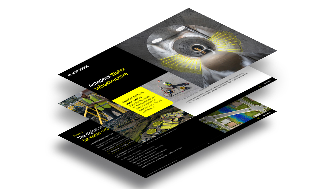
Building resilient water utilities through digital maturity
Water utilities face growing pressure from aging infrastructure, climate risk, and regulation. Despite more data, fragmentation limits action. This e-book on digital maturity for water utilities shows how to connect systems, improve decision-making, and build resilience. Water utilities are being asked to deliver more with less certainty than ever before. Across the sector, leaders are…
Industry news
-
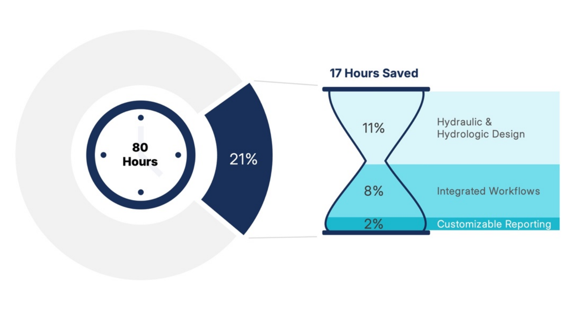
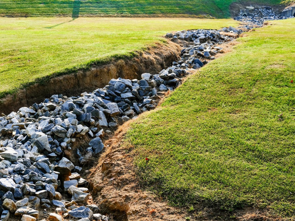
Stormwater design is getting faster – 21% faster with integrated approaches
A new white paper from Bluefield Research examines how climate pressure, tightening regulation, and constrained engineering capacity are forcing a rethink of drainage design and the role of integrated software. Stormwater is no longer just a drainage problem. It’s a growing financial, regulatory, and operational challenge, one that is reshaping how infrastructure gets designed and delivered. From Hurricane Ida flooding…
Drainage design