-
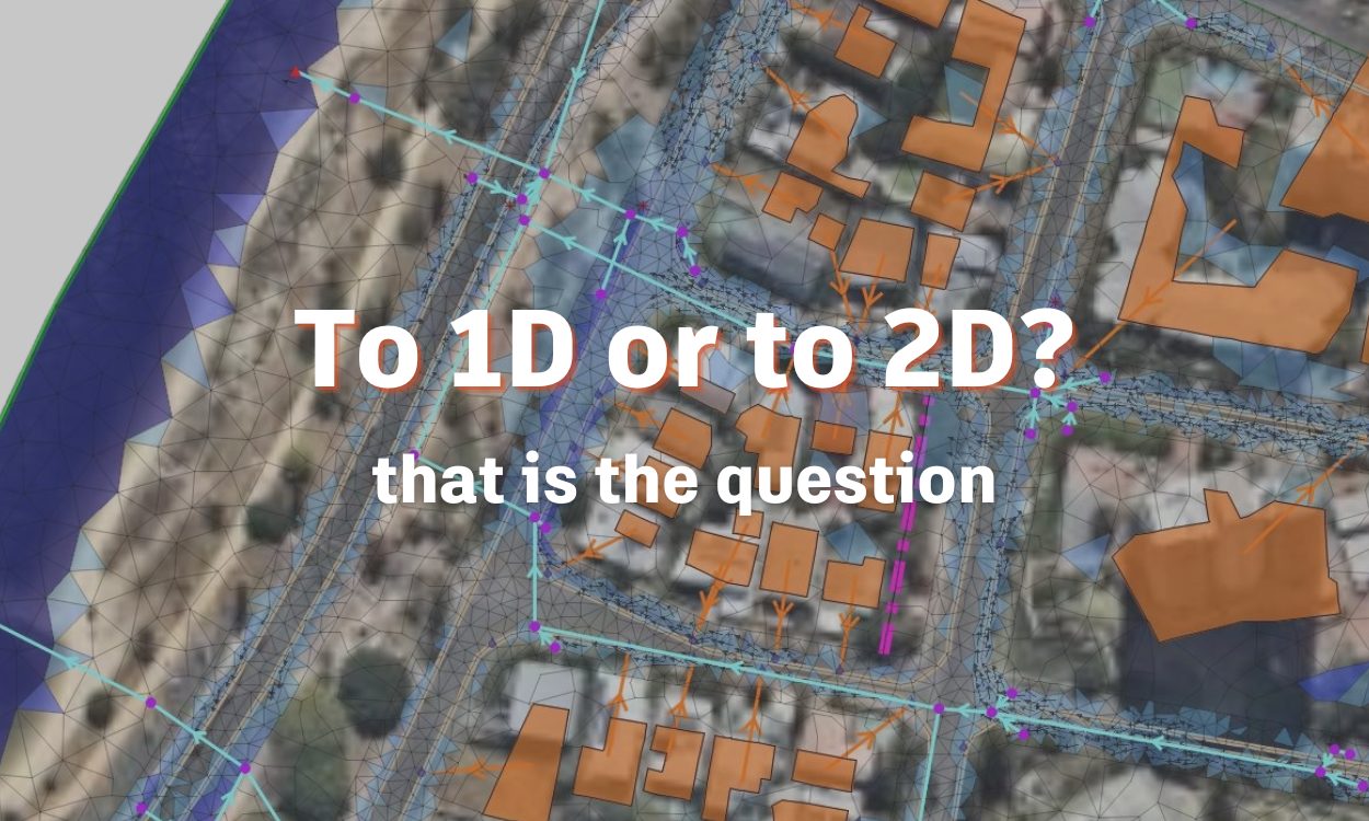
1D vs 2D hydraulic modeling: What’s the difference? Pros and cons? How do you decide?
Predicting floods and how these flows of water interact with topography and infrastructure has presented a menagerie of challenges for engineers past and present. Floods are dynamic events that encompass a series of interrelated factors that determine the resultant effects. Factors like topographical variance, soil permeability, precipitation intensity, existing stormwater controls, and plenty more need…
Storm, sewer, flood
-
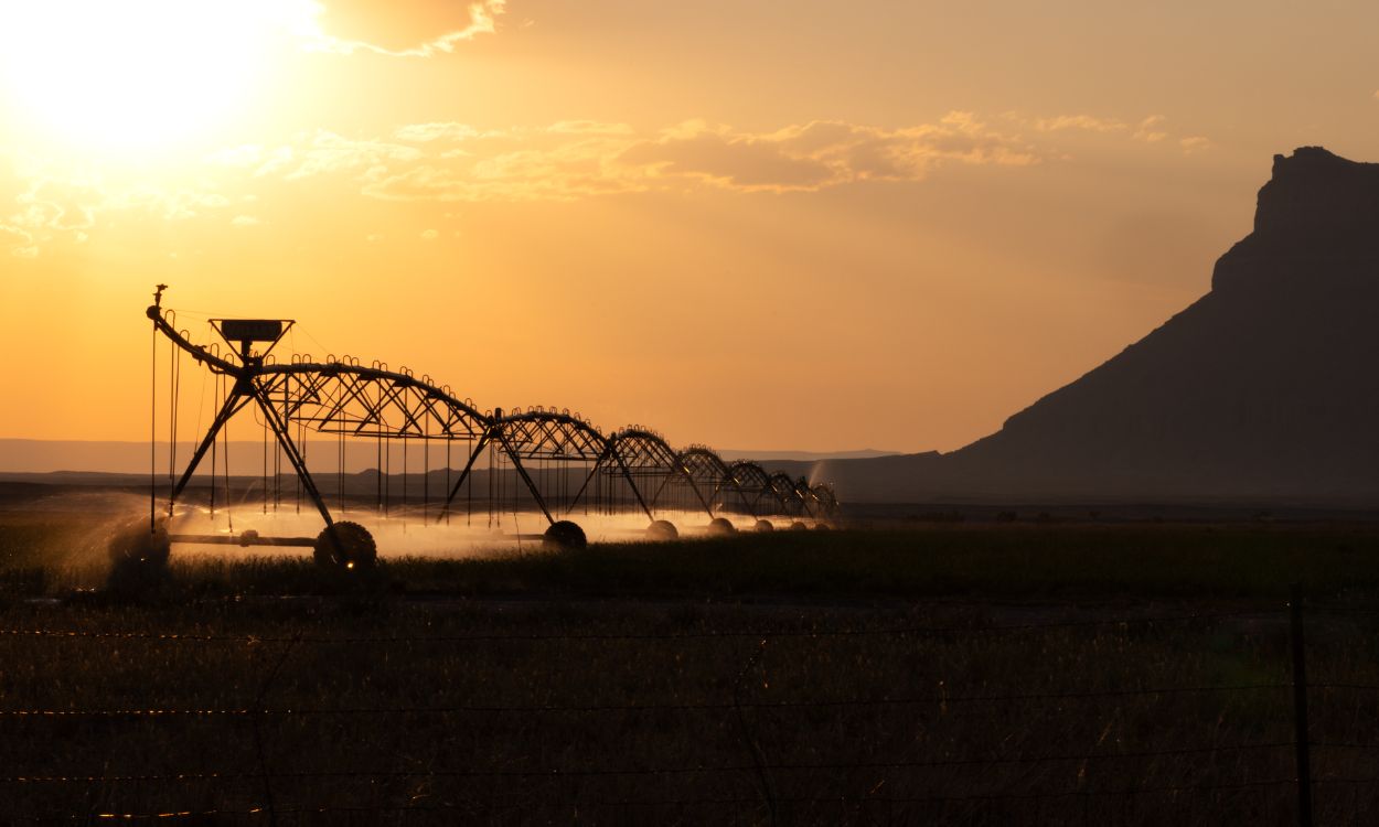
Designing sustainable irrigation networks with InfoWorks WS Pro
Agriculture accounts for roughly 70% of global water usage annually – a staggering statistic that underscores the world’s need for sustainable and well-managed irrigation systems. In addition, irrigated agriculture accounts for 40% of the world’s food supply, despite taking up only 20% of the world’s cultivated land. With severe weather events, the impacts of climate…
Sustainability
-

Autodesk InfoDrainage integrates AI drainage design feature with Machine Learning Deluge tool
Every built thing in the world has a drainage plan. From housing developments to commercial properties to roads and railways – each of these unique engineering projects requires resilient stormwater infrastructure and sustainable drainage design. For much of human history, engineers and builders took a more rudimentary path towards drainage: dig holes, oversize pipes and canals,…
Product news
-
InfoDrainage 2024.4: Machine Learning, results migration with Civil 3D, speed improvements
The Autodesk InfoDrainage team has built in some fantastic new features into InfoDrainage 2024.4, including intelligent machine learning deluge, results mapping with Civil 3D, and speed and scalability improvements. In this post, we’ll walk through what these improvements mean for you, and how you can stay up to date with our product roadmap, webinars, and drainage…
Product news
-
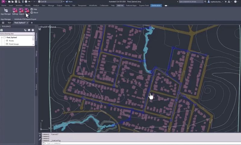
InfoWorks ICM now integrates with Civil 3D, uniting designers with hydraulic modelers for flood analysis
Everything in the built environment progresses through the planning phase and design phase, before eventually being constructed and operated. In the planning phase, sites are scoped, drainage studies are completed, and hydraulic analyses are run to understand where and when capital improvements are needed. Powerful hydrologic modeling tools like InfoWorks ICM are vital to engineers…
Product news
-

New Technical Information Hubs to support Autodesk Water desktop products
The Autodesk Water team is excited to release our latest Technical Information Hubs for our desktop products. These newly released information hubs work to collect the wealth of information that various Autodesk teams provide to customers each and every day, all in one place. InfoWorks WS Pro Information Hub | autodesk.com InfoWorks ICM Information Hub…
Product news
-
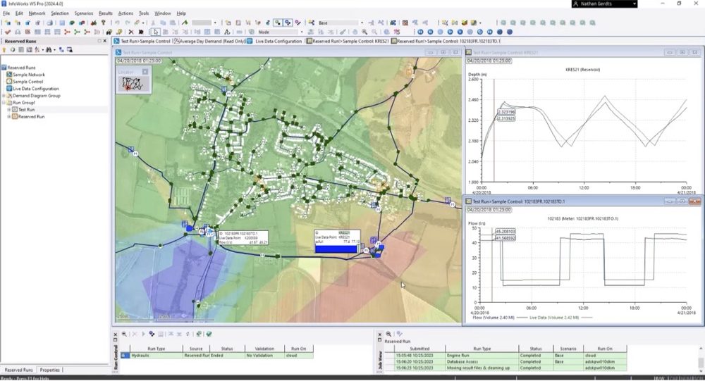
InfoWorks WS Pro 2024.4: Reserved runs in the cloud, live data configuration, and quality improvements
The latest version of InfoWorks WS Pro is here, bringing improvements to the platform in a variety of ways. Perhaps most significantly, you now have access to reserved runs in the cloud, streamlining collaboration and workflows. Additionally, the development and QA teams have built in streamlined live data configurations and made a variety of quality improvements…
Product news
-

Water Drops: A batch of lesser-known workflows that deserve the spotlight
This release of Water Drops workflow videos is exceptional – that is, we go over some of the lesser-known capabilities of our software packages that we want to make sure aren’t overlooked. For example, did you know you can also design sanitary networks in InfoDrainage? Or, have you ever wondered how other Innovyze products (specifically,…
Water Talks
-
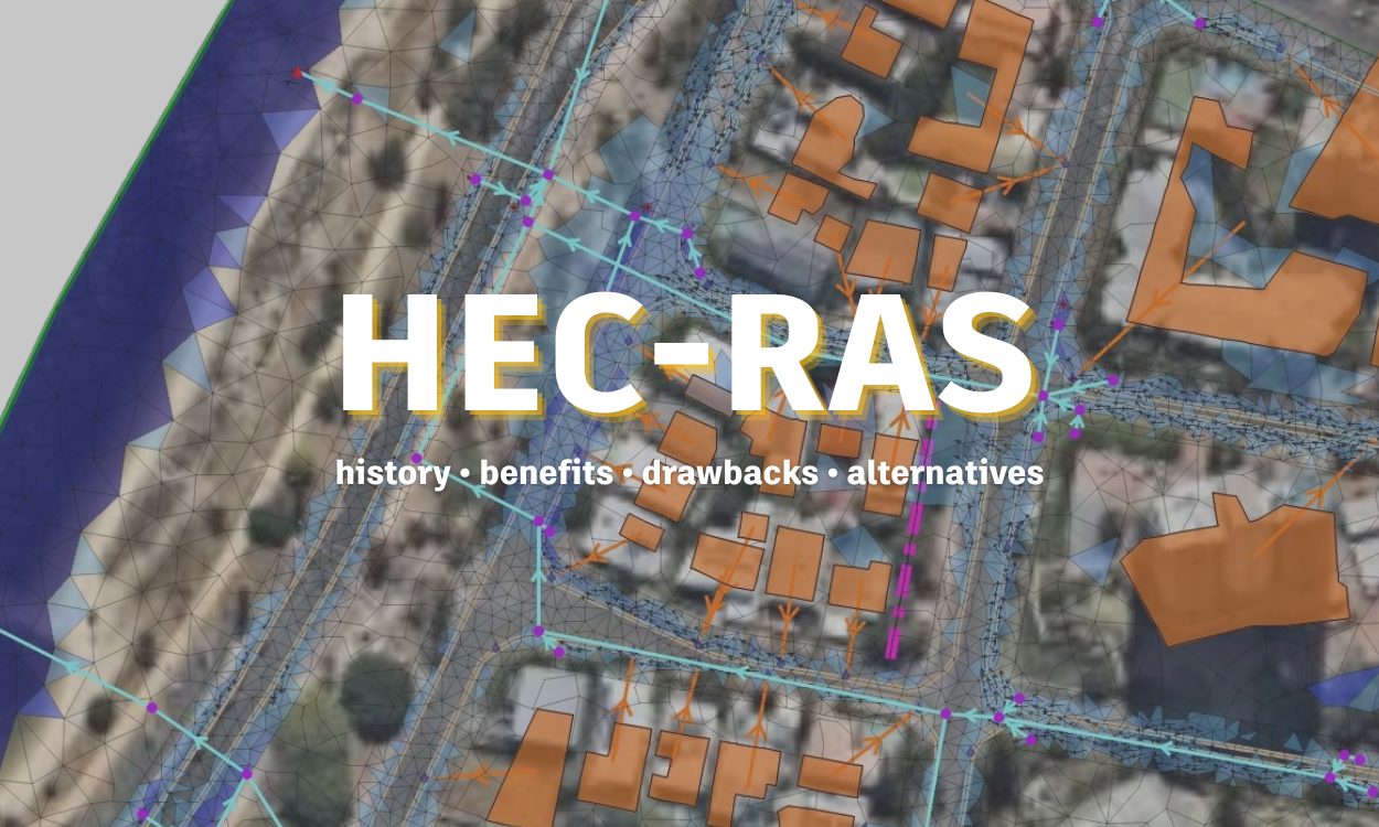
HEC-RAS: Its history, benefits, drawbacks, and alternatives
For much of human history, rivers were one of the most prevalent resources to civilization, serving as the liquid highways for goods and providing needed water for irrigation. It’s no wonder then why the world’s top minds have long toiled over how to control rivers and understand their flow. While understanding rivers presented persistent toil…
Storm, sewer, flood
-
Improved asset condition and inspection data management in Info360 Asset
Asset and condition inspection data are at the foundation of how water professionals build out risk and asset prioritization plans – prioritization plans that are essential to how water utilities allocate their capital expenditures. We listen to your feedback on how you manage condition assessment inspections and asset data, and our product and engineering development…
Product news