 Can Anbarlilar
 Shiyamdev Sritharan
 John Sayre
 Matt Arsenault
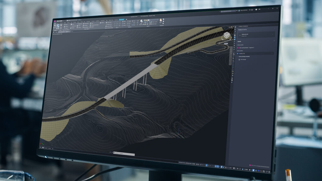
Civil infrastructure projects are inherently multidisciplinary projects that have the power to shape how people and communities move, connect, and grow. Decisions about the placement of roads, bridges, buildings, stations, and rail corridors span many teams and tools, requiring input across all phases of the project lifecycle.
At AU 2026, we’re announcing the next step in connected infrastructure: Civil 3D will become the newest Forma Connected Client, enabling reference-based interoperability and consistent geolocation with Forma and Revit.
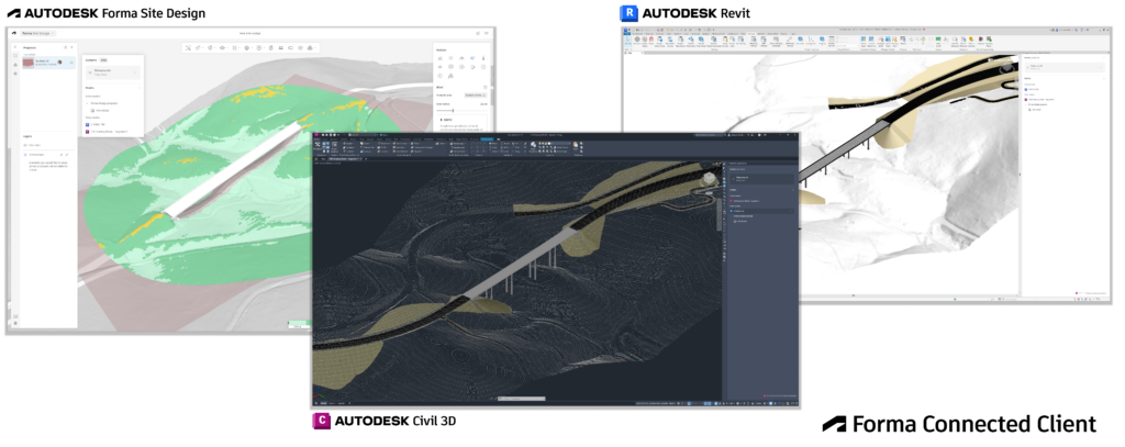
With a deeper connection to the Forma Industry Cloud, civil engineers, transportation designers, urban planners, and architects will be able to maintain project context more consistently from early planning into detailed design and reduce the need to rebuild information as projects advance.
What is a Forma Connected Client, and what does it mean for Civil 3D?
The Forma Connected Client designation recognizes when an Autodesk desktop product is deeply integrated with the Forma Industry Cloud. It enables teams to continue working within detailed design tools they trust, while tapping into the cloud data, context, and workflows from Forma.
For Civil 3D, this will begin as a Tech Preview introducing reference-based interoperability with Forma and Revit. Civil engineers can connect to Forma, reference planning and building designs within the Civil 3D environment, and continue detailed engineering with that context around their work.
Civil 3D information can also contribute to shared project context, giving other disciplines greater visibility into the civil design to help inform their decisions.
Keep project location consistent
For civil infrastructure, shared context only works when everyone is designing in the same place. A unified geolocation engine and workflows across Forma, Revit, and Civil 3D will help maintain consistent location information as teams work between solutions, reducing manual transformations and model misalignments.
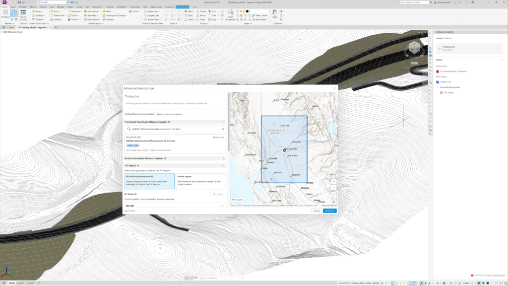
This builds Autodesk’s broader work to make geolocation more consistent across AEC workflows.
Autodesk’s investment in connected infrastructure
Civil 3D becoming a Forma Connected Client is part of Autodesk’s broader investment in connected infrastructure workflows.
Civil 3D data can be brought into Forma as a starting point for planning and building design. We’re also introducing Forma Street Design, where civil engineers and transportation planners can explore street designs earlier before continuing in Civil 3D for detailed engineering. Deeper integrations with Esri ArcGIS and Fugro GeoDin and Ground IQ will bring additional geospatial and subsurface context into these workflows.
Civil 3D remains critical for detailed engineering
Together, these connections can help teams understand the broader project environment earlier while maintaining the detailed engineering and documentation workflows in Civil 3D.
Civil 3D remains a critical tool for planning, designing, and delivering infrastructure projects. Connecting Civil 3D more closely with Forma gives customers a practical path towards more connected, outcome-based workflows while continuing to use the detailed engineering capabilities they rely on today.