-
What’s New in Civil 3D 2026.2: Enhanced Drainage and Collaboration Workflows
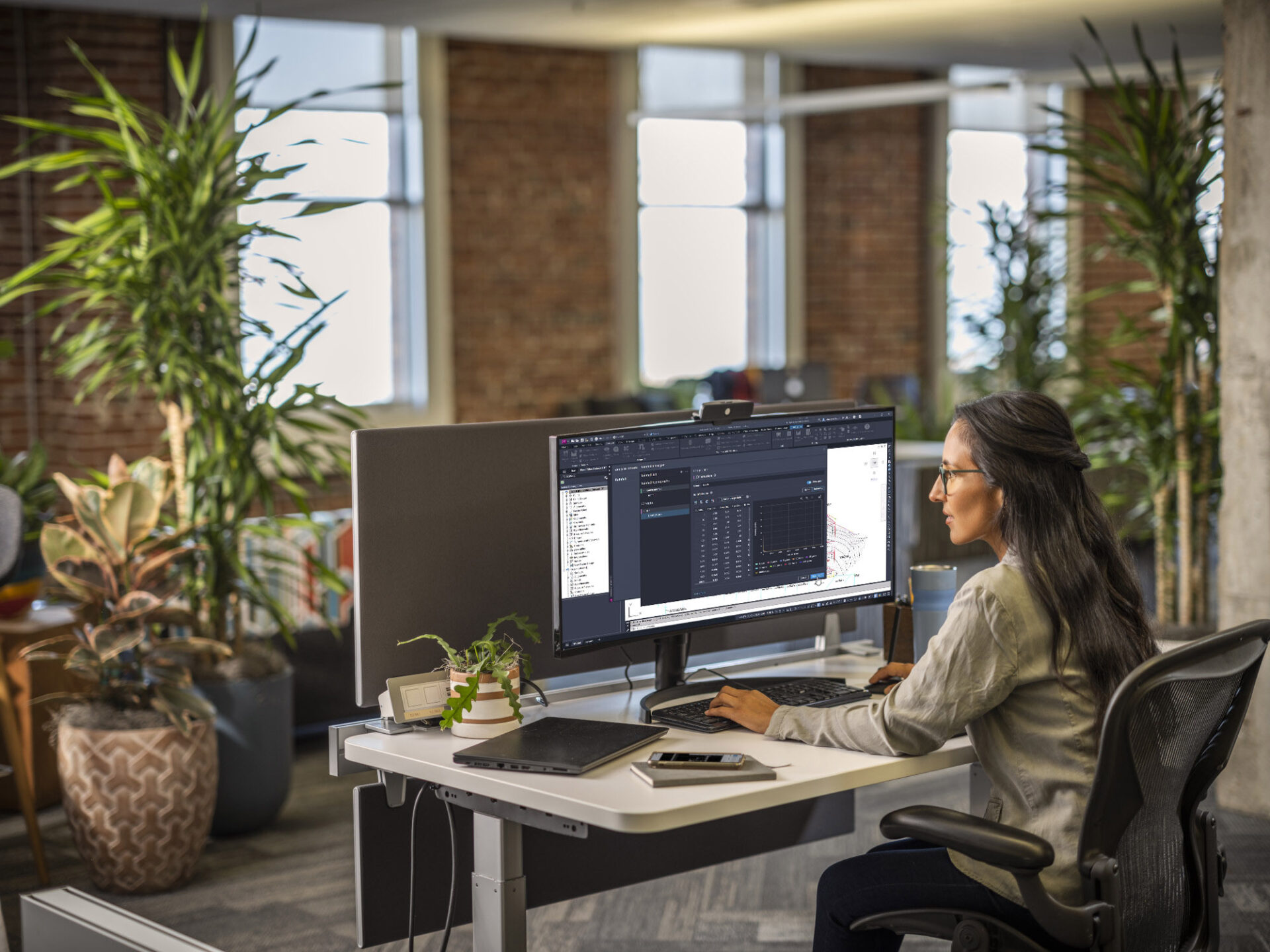
Autodesk Civil 3D 2026.2 introduces significant enhancements to civil infrastructure workflows. These include improved drainage design and analysis tools, updates to Dynamo and Feature Lines, and the ability to export AutoCAD 3D Objects from Project Explorer. This comes in addition to new…
What’s New
-

Exciting New Cloud Releases for Civil 3D Users
Over the past several months, we’ve introduced a series of powerful updates designed to make it easier, faster, and far more reliable for civil teams to work in Autodesk Construction Cloud. From streamlined project migration to richer review tools and an improved…
Infrastructure
-

Content Catalog Introduces Rhinoceros 3D Plug-in
We are excited to announce the launch of Content Catalog’s Rhinoceros 3D plug-in, an advanced web-based integration between Content Catalog and Rhinoceros 3D (Rhino). Now designers and architects using Rhino, a design authoring tool, will be able to store and manage all…
Architecture
-

AI-Powered Design and Make Updates for AECO
Designers face increasing pressure to deliver complex projects faster to meet the demand for more: more housing, more infrastructure, and more resilient communities. On top of that, projects also need to be more sustainable. To keep pace, architects and engineers are transforming…
Architecture
-
Optimizing Design Management: Autodesk Docs for CAD Standards
The importance of CAD standards cannot be overstated. They are the foundational elements in creating drawings and templates for the Architecture, Engineering, Construction, and Operations (AECO) industry. Design solutions (such as AutoCAD and Civil 3D) rely on these standards to establish criteria…
Learning
-

How Autodesk Connectors for ArcGIS and Esri’s ArcGIS for AutoCAD Benefit Your Workflows
Contributing guest author: Michael Davidson, Esri Autodesk and Esri’s GIS integration tools bring together design information and location intelligence. By combining BIM/CAD and GIS data, designers can better understand where and how an asset fits within the built and natural environment. The…
Infrastructure