-

How Autodesk Connectors for ArcGIS and Esri’s ArcGIS for AutoCAD Benefit Your Workflows
Contributing guest author: Michael Davidson, Esri Autodesk and Esri’s GIS integration tools bring together design information and location intelligence. By combining BIM/CAD and GIS data, designers can better understand where and how an asset fits within the built and natural environment. The…
Infrastructure
-
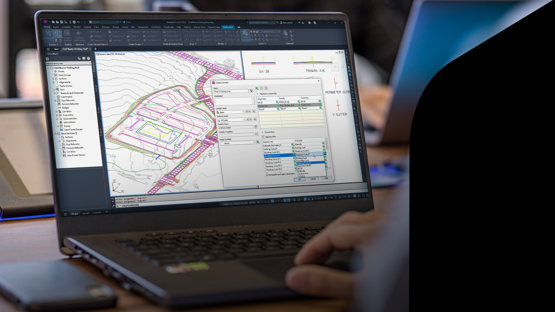
What’s New in Civil 3D, InfraWorks, and ReCap Pro 2025
To help civil engineers and designers complete projects on time and within budget, tools such as Civil 3D, InfraWorks, and ReCap Pro can dramatically cut design times and improve model accuracy. Every year, Autodesk introduces new functionalities and updates to simplify the…
What’s New
-

What’s New in Civil Infrastructure Design: Civil 3D, ReCap Pro, and InfraWorks
The latest releases of Civil 3D, Recap and InfraWorks make design projects even easier for civil engineers. We’ve improved features released earlier this year and added some new ones to make workflows more efficient. Information sharing and collaboration between project team members…
What’s New
-

What’s New in Civil 3D, InfraWorks and ReCap Pro 2024
The 2024 updates to Civil 3D, InfraWorks and ReCap Pro are here! They help make the design and digital modeling of infrastructure projects much quicker and more efficient, while incorporating sustainable design elements for more streamlined planning processes. Designing in a real-world…
What’s New
-

What’s New In Civil 3D 2023.2 and InfraWorks 2023.1
We have some exciting new updates for Civil 3D and InfraWorks that make workflows easier to manage and the process of designing and digitally modeling infrastructure projects more efficient. All the updates in these releases have been built based on the feedback and requests we…
Infrastructure
-

Have You Tried? Parking Layout Tools in InfraWorks
Each month, we profile a useful feature or workflow in InfraWorks. We look across what’s new, what’s been around for a while, and identify features that could improve your experience with InfraWorks while making you and your team more productive. What is…
Learning