-
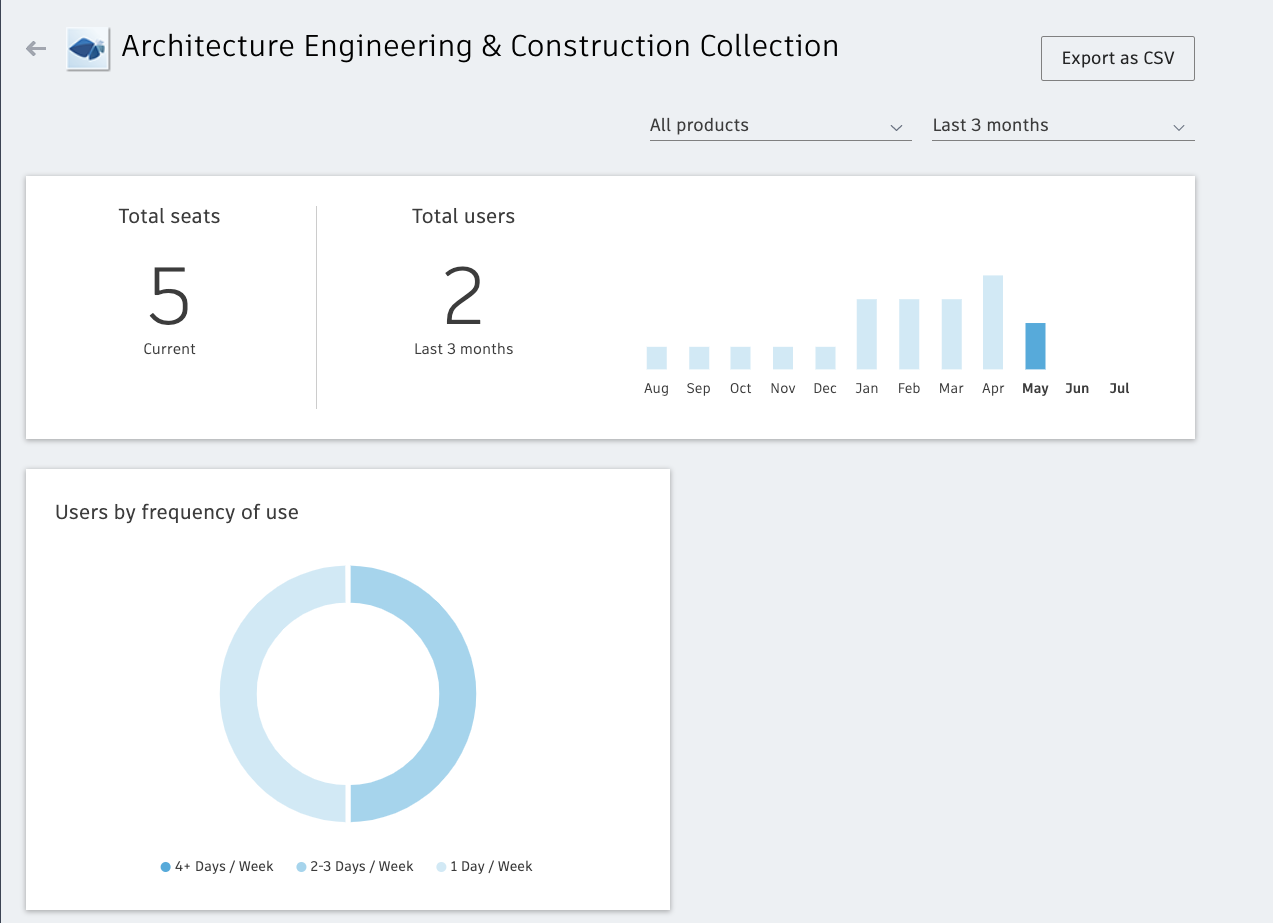
Introducing Usage Reporting: Make data-driven decisions about your Autodesk products
Wondering if your team is making the most efficient use of your software? Before now, your choice was either to keep wondering or engage in time-intensive, manual tracking of users, products, and versions. But Autodesk’s new usage reporting* functionality takes the guesswork and slog out of tracking who is using what product and how often. This…
What’s New
-
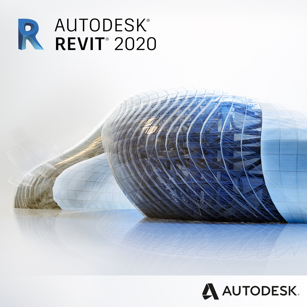
You’ve got to see what’s new in Revit 2020
Written by Harlan Brumm, Sasha Crotty, Ian Molloy, and Pawel Piechnik The Revit team is thrilled to release Revit 2020, incorporating improvements in Revit 2019.1 and Revit 2019.2. The release year “2020” is epic, and Revit 2020 lives up to the name, reflecting both your requests submitted to the Revit Ideas page and also introducing new features and…
Architecture
-
Under the Hood: How Design Automation with Dynamo for Civil 3D Helps Drive Creative Infrastructure Solutions
BY NIGEL PETERS Every month, an Autodesk expert gets technical and provides an overview of the AEC Collection’s most powerful workflows. Read on to find out more about automated design processes and their benefits, using Dynamo for Civil 3D. To meet the demands of a growing population, it is estimated that the world needs $94 trillion…
Learning
-
5 Reasons to believe in Context Modeling
Context Modeling is the process of building an enriched, existing conditions project framework. With the tools found in the Architecture, Engineering and Construction Collection you can process LiDAR and/or drone-based data, connect to ArcGIS organizations, and import many other data types to build an intelligent model to base your project designs from. By utilizing current,…
Infrastructure
-
Pan Borneo Highway Sarawak: History in the Making for Malaysian Infrastructure
Opening up new economic opportunities for the Malaysian State of Sarawak Design and construction teams in Malaysia are using Autodesk BIM solutions—including Civil 3D, Revit, ReCap, InfraWorks, Map 3D, Dynamo, 3ds Max, and Navisworks—to deliver the expansion and upgrade of the Pan Borneo Highway Sarawak. Malaysia’s Ministry of Works is in the midst of a…
Customer Success
-
Eiffel Tower: Experience the Site In 3D
The Mayor’s Office of Paris decided to conduct the design of this site around the Eiffel Tower by using BIM (Building Information Modeling) technology, i.e. a process that involves the creation and use of a 3D model. This solution, especially on such a large-scale, clearly facilitates the collaboration and exchange of ideas between the City…
Architecture