-
Using ArcGIS Enterprise and ArcGIS Online for Model Creation in InfraWorks
BY: VINCENT FREDON Original French article from Civil Made in France: https://civilfrance.typepad.com/blog/2019/04/videos-de-l-exploitation-par-infraworks-de-donnees-publiees-sur-des-portails-arcgis.html Continuing the BIM and GIS Integration Through the Autodesk and Esri Partnership, the tools allowing the simplification of the connection between Autodesk BIM design software and Esri GIS database continue to evolve. A new version of the Autodesk Connector for ArcGIS was introduced…
Infrastructure
-

Under the Hood: Bringing GIS Data into InfraWorks with the Autodesk Connector for ArcGIS
UNDER THE HOOD Every month, an Autodesk expert gets technical and provides an overview of the AEC Collection’s most powerful workflows. Read on to learn how you can seamlessly import GIS data into InfraWorks with the Autodesk Connector for ArcGIS. It doesn’t matter what you’re designing—a building, a road, a parking lot—context matters. It’s absolutely essential that…
Learning
-
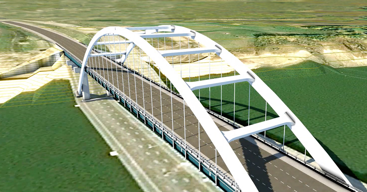
InfraWorks: New enhancements for bridge design, ArcGIS data integration, and more
Join our community webcast on October 3rd, meet our product managers, and watch a live demonstration of this latest release. Here in New England, many mark the start of fall when the temperature dips and the leaves turn, or when you can finally get your pumpkin spice latte fix. I’m excited to be kicking off…
Uncategorized
-
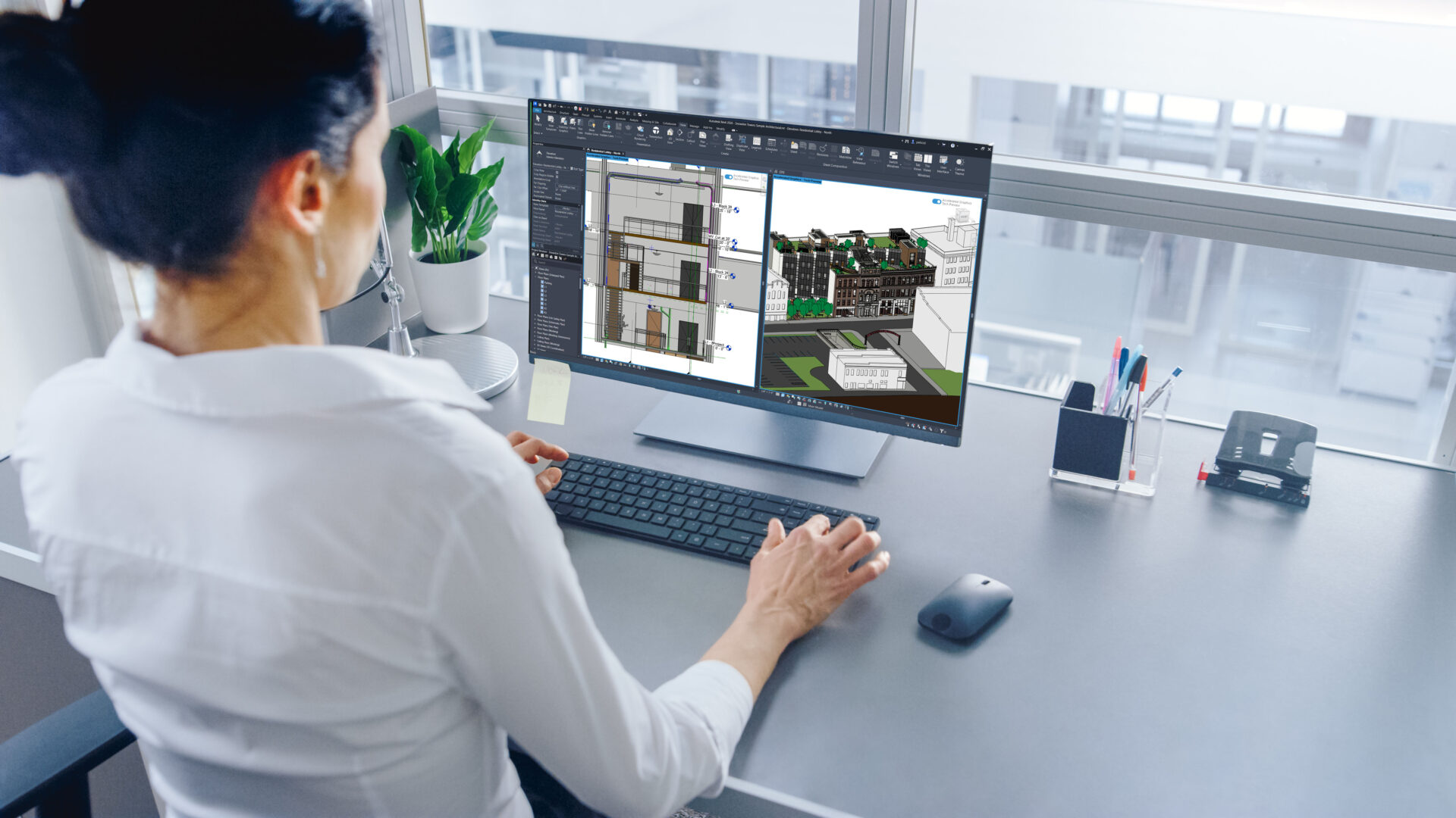
New Display Performance Benefits Now Available with Accelerated Graphics Tech Preview in Revit 2026
With the recent release of Revit 2026, we unveiled a new graphics platform in development to transform Revit so that it continues to delight AEC professionals authoring and reviewing their models. The Accelerated Graphics Tech Preview is built so you can benefit from the latest software and hardware improvements, and we can constantly adapt to…
Technology Preview
-

Take Your BIM and GIS Knowledge to the Next Level with Free, On-Demand Classes
Data silos? What data silos? That’s the new reality with BIM and GIS together. Since Autodesk and Esri joined forces, owners and AEC design teams have discovered incredible new efficiencies and workflows—all with data at the center. At the start of the alliance, we connected BIM and GIS at the desktop level with the…
Infrastructure
-

How Autodesk Connectors for ArcGIS and Esri’s ArcGIS for AutoCAD Benefit Your Workflows
Contributing guest author: Michael Davidson, Esri Autodesk and Esri’s GIS integration tools bring together design information and location intelligence. By combining BIM/CAD and GIS data, designers can better understand where and how an asset fits within the built and natural environment. The result is a powerful, information-rich model that helps improve design and construction workflows…
Infrastructure