Walk any active jobsite and you’ll see the same pattern: constant motion, evolving conditions, and thousands of decisions being made in real time. Construction is one of the most dynamic data-rich environments in the world, yet it has historically been one of the hardest to understand. Teams take thousands of photos on their smartphones, record observations, and document progress across drawings, forms, and reports, but without a way to make sense of all that information, teams are often left without a clear picture of what’s actually happening.
In recent years, AI in construction has been positioned as the solution to this complexity. But most of the advances people talk about – large language models, document summarization, chatbot-style assistants – are built for text. They’re designed for office workflows, not the jobsite. Construction, however, is a reality-first industry. The most important information isn’t buried in a paragraph; it’s visible on the slab, in the walls, and across constantly changing site conditions.
That’s why one of the next biggest transformations in construction will come from Spatial AI – intelligence that understands space, movement, and context in the physical world.
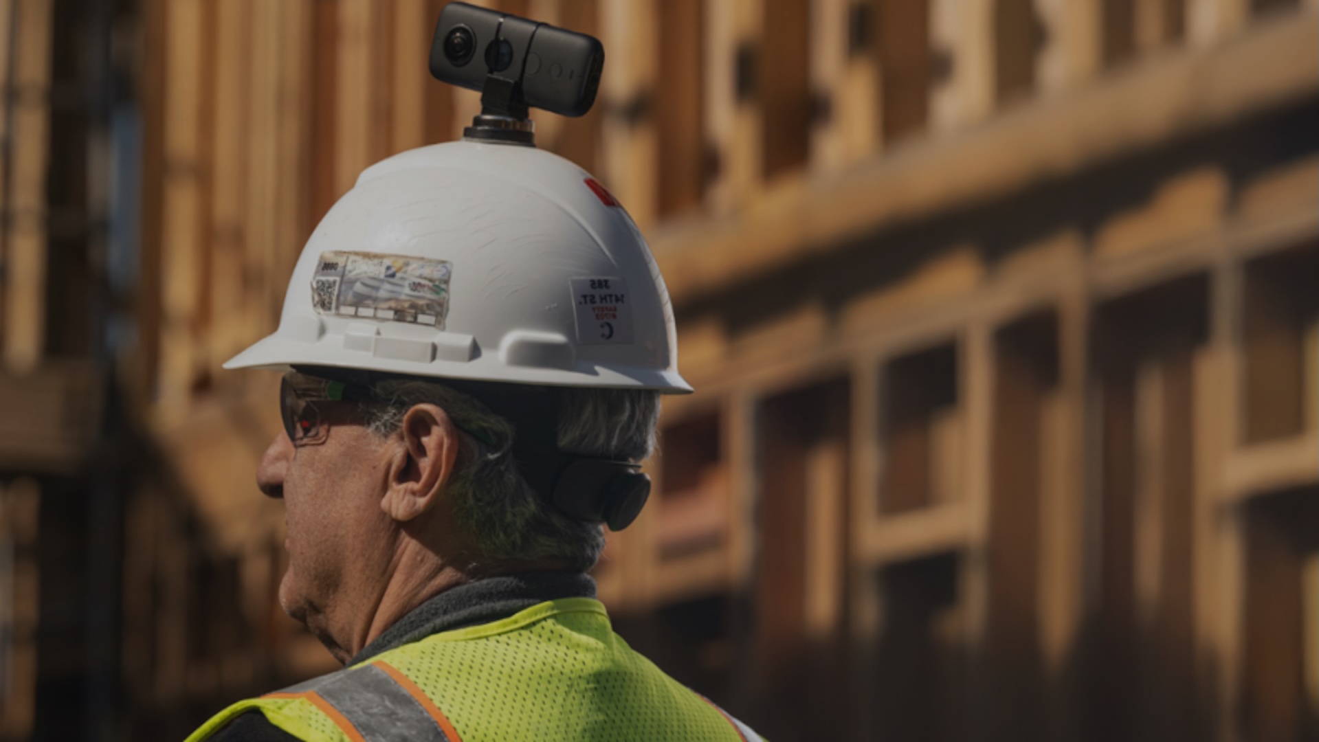
Over the last decade, construction teams have embraced reality capture: 360° cameras, drones, smartphones, and laser scanners. These tools created a visual record of jobsites, but capturing data isn’t the same as understanding it. Without intelligence, huge volumes of images turn into digital clutter.
Spatial AI changes that. It allows systems to:
This is the foundation of what we call visual intelligence – a shift from collecting images to using them to make timely, confident decisions. Instead of asking teams to read through logs or interpret scattered notes, visual intelligence uses imagery, spatial context, and AI to answer questions instantly: What’s here? What changed? What needs attention? Instead of describing conditions, AI will simply show them.
The goal is to give teams a way of working that mirrors how they already operate – by looking, deciding, and getting things done.
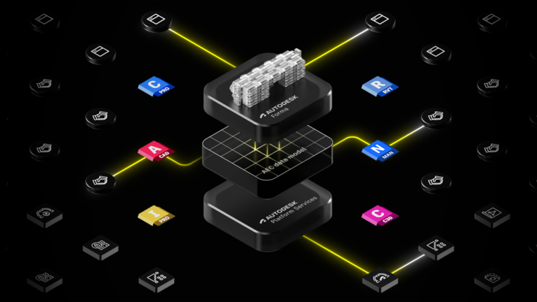
And because many builders use Autodesk Construction Cloud, now part of Autodesk Forma, as their system of record, tools like OpenSpace integrate directly with Autodesk Build – syncing drawings, issues, and photo documentation to keep office workflows aligned with verified, reality-based intelligence from the field.
Language models excel at creating summaries and documents, but construction problems are spatial problems:
These aren’t questions you answer by predicting the next word in a sentence. You answer them by understanding physical reality.
Spatial AI does what language AI cannot. It builds a coherent understanding of the jobsite: how rooms connect, how materials evolve, where teams are working, and what’s changing day by day. With that foundation, entirely new categories of field workflows become possible.
One of the greatest breakthroughs enabled by spatial AI is AI Autolocation – a technology that turns the phone in your pocket into a real-time indoor positioning device.
GPS stops working once you step inside a building or facility. Beacon systems are expensive to set up and maintain. And, jobsite conditions are simply too unpredictable for most indoor location systems to hold up.
AI Autolocation takes a different approach. It uses:
As you move through the building, the system matches your phone’s signals to a constantly updating site map. The result is accurate, evolving indoor positioning – no special hardware required.
When location becomes automatic, workflows that used to be painful suddenly become fast and unambiguous:
This is where spatial AI becomes a true system of work, not just a source of data.
Construction has long relied on forms, text fields, and manual reports, despite the fact that jobsites are inherently visual. Image-first workflows flip that dynamic. The smartphone becomes the front end of the jobsite – not just for documentation, but for action.
With spatial AI and features like AI voice notes, teams can simply talk through what they’re seeing, and the system fills in assignee, due date, description, and location, automatically. It’s fast, natural, and aligned with how field teams actually operate.
And because visual intelligence organizes imagery by place and time, teams get instant clarity to questions like:
These aren’t abstract queries; they’re spatial questions. The answers come from imagery anchored to real-world context.
Something powerful happens once teams adopt spatial AI. Every 360° walk sharpens the positioning model. Better positioning makes issue logging faster. More issues create richer context for progress tracking, and better progress tracking strengthens decision-making – all of which encourages more capture.
This is the flywheel of visual intelligence: more capture → more intelligence → more value → more capture.
Crucially, none of this works without one principle: ease of use. Technology only matters if the field actually uses it. The most impactful systems don’t demand training, rework, or new behaviors; they slot into existing rhythms: walk, look, talk, act.
AI Autolocation is a major step forward, but it’s also a foundation. As visual intelligence evolves, the real opportunity is helping AI understand not just what it sees, but where it is and why it matters.
Over time, we expect the jobsite experience to evolve in ways that feel more supportive and intuitive for builders. AI will become:
None of this replaces human expertise. Instead, it strengthens it to give builders a clearer, real-time understanding of their projects so they can make faster, more confident decisions.
Visual intelligence is ultimately about creating a jobsite where information flows naturally, insights come faster, and teams can focus on what they do best: building.
The construction industry doesn’t need more dashboards or text-based analyses. It needs tools that understand the jobsite the way builders do: spatially, visually, and in real time.
Spatial AI is the backbone of that shift. It turns the jobsite into a living information system – always visible, always current, and never in doubt.