
Description
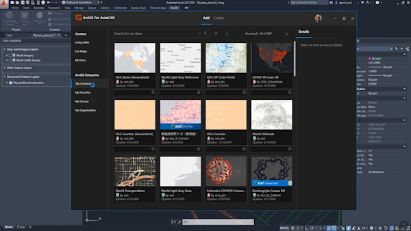
This session will demonstrate how to easily and quickly incorporate high-resolution, frequently updated geospatial content into your engineering planning and design workflows – avoiding the need for costly bespoke flyovers or time-consuming trips to the field. In this session, we will show you how to integrate Nearmap vertical orthographic imagery, 3D terrain data, and AI-derived planimetric linework into Civil 3D and InfraWorks. Learn how to conduct fast and easy design workflows in Infraworks utilizing the full Nearmap geospatial content stack as well as how to generate high-quality contours for your engineering basemap.
Principaux enseignements
- Integrate Nearmap geospatial content: orthographic, 3D, and AI-derived planimetric linework into your Autodesk workflow
- Create engineering designs utilizing the full Nearmap geospatial content stack
- Generate high-quality contours using Nearmap 3D terrain data for your engineering basemap
- Use geospatial content to create fast and easy preliminary designs within InfraWorks
Étiquettes
Produit | |
Secteurs d'activité | |
Thèmes |
Les gens qui aiment ce cours ont aussi aimé


Instructional Demo
BIM on Track: Interdisciplinary Design for Large-Scale Railway Projects
Instructional Demo
Update of Esri’s Integration Work in 2020


Instructional Demo