
Descripción
At InSite we’ve spent years developing overall planning solutions for large-scale overall planning projects using connected data and automation in Revit software, Civil 3D software, and online data platforms. This session will cover how automating the process has helped the team reduce manual errors and improve efficiency for cities and precinct design. We’ll show examples of using data to drive decision making through the design. And we’ll look at how we’re using data-driven platforms to solve problems in urban analytics, resilience, sustainability, development feasibility, and strategic planning. You’ll see real examples of this process and how it was achieved, along with data being linked to online data platforms driving financial city models, automation of design, and how 3D and data visualization is a powerful tool to drive informed decision making on major projects. Design data, open data, and web apps are combined to enable better outcomes throughout the development lifecycle.
Aprendizajes clave
- Learn how to automatically create 3D models using the predefined attribute information in Revit.
- Learn about collaboration and real-time testing and option development with clients.
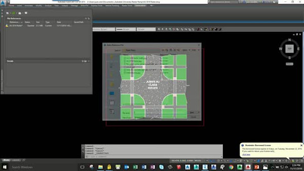
- Learn about creating a data base for overall-plan projects with all buildings and plots information with automated plot sheets.
- Learn about connecting design data to online platforms to enhance client portfolio management and engagement.
Downloads
Etiquetas
Producto | |
Sectores | |
Temas |
A la gente que le gusta esta clase también gusta


Industry Talk
Unreal Collaboration in the Fourth Dimension
Instructional Demo
InfraWorks 360—There’s a Trick to That

Instructional Demo
